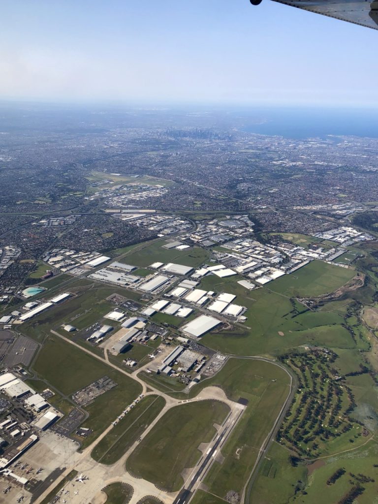
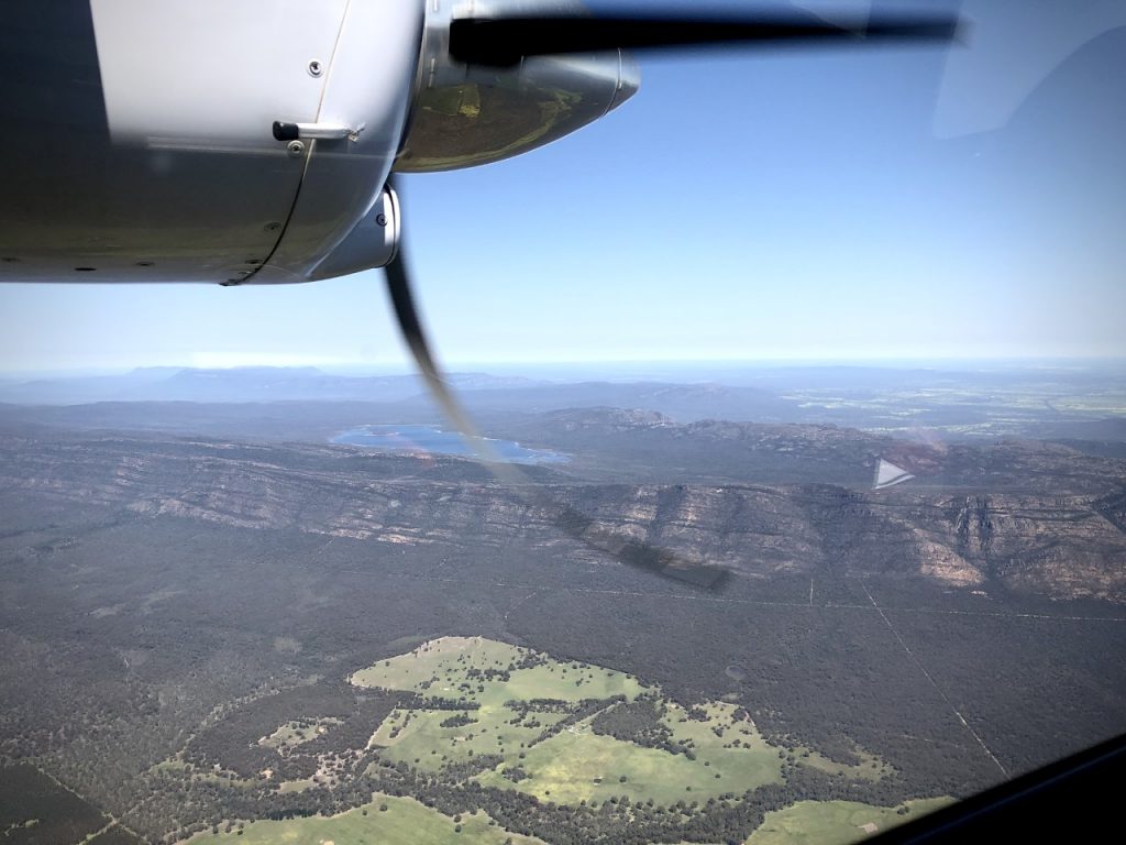
After 2 months of cold and wet Victorian winter, Landair Surveys are flying again.
Our client requested Landair Surveys to capture aerial photography , over 5 Quarries around Melbourne and the Grampians. We supplied point clouds and Orthophotos of each site. This was successfully completed after departing from our Tyabb base amidst very strong westerly winds using the Leica RCD30 Digital Camera. We also supplied 3D vector mapping of features and relief for each site enabling geologists and engineers to easily work on new pit designs.