Since 2015, Landair Surveys has supported Mornington Peninsula Shire Council with annual bathymetric surveys of sea beds near boat ramps from Mornington to Portsea. These surveys ensure the ramps remain operational by determining the extent of dredging required and verifying its effectiveness.
Using RTK GNSS receivers for shallow waters and a dual frequency CEE-LINE Hydrographic Survey Echo Sounder, Landair provides precise measurements of sea bed reduced levels and sediment thicknesses.
Deliverables included CAD and PDF plans with detailed contours and sediment thicknesses, enabling the Council to plan and confirm dredging operations effectively to ensure safe and accessible boating facilities.
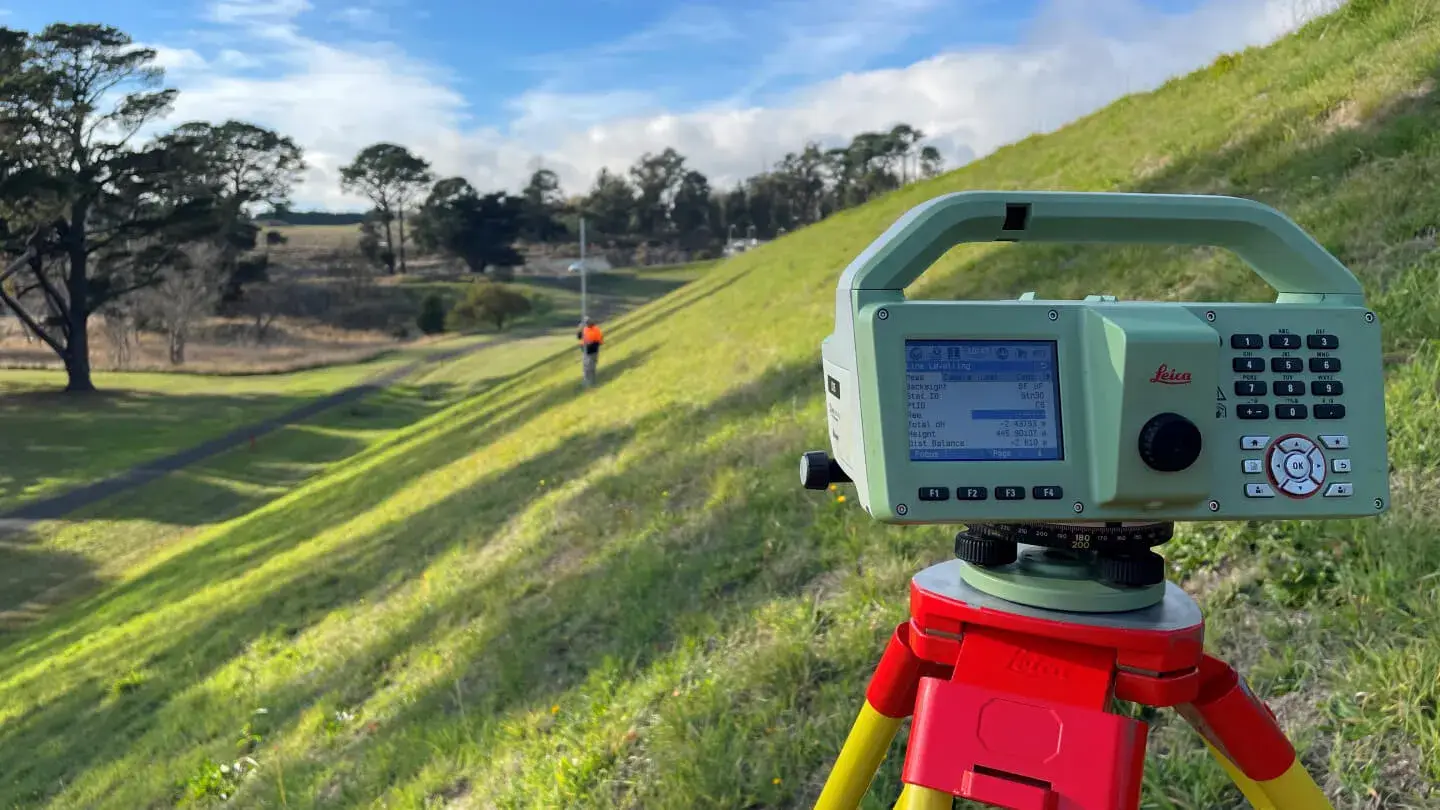
Landair Surveys are currently contracted by Coliban Water to undertake Dam Safety Structural Surveying with these works having been performed since 2017.
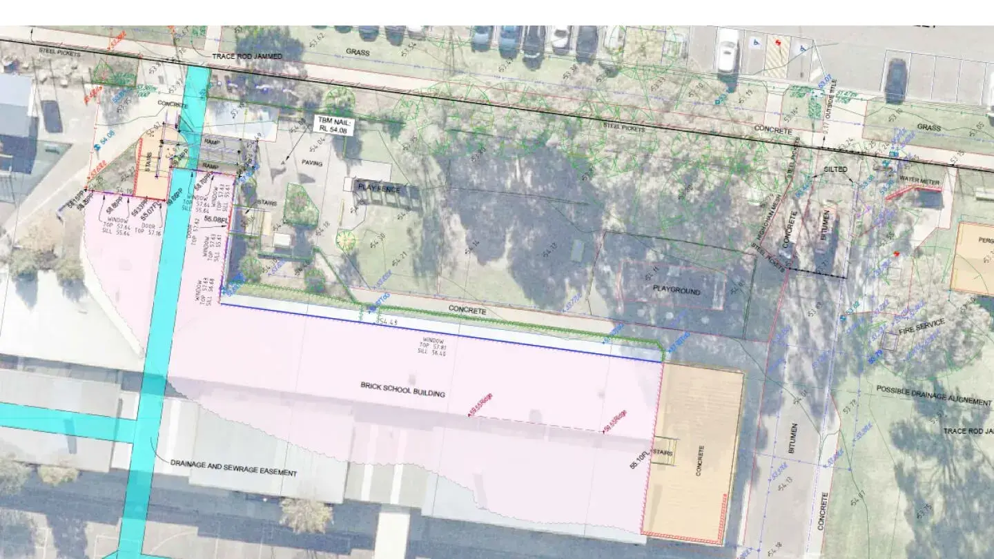
Since 2017, Landair Surveys has supported the Victorian School Building Authority (VSBA) to develop new government schools and upgrade existing infrastructure.
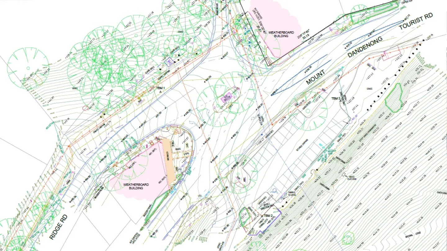
Since 2019, Landair Surveys has supported Yarra Ranges Council with feature and level surveys, title re-establishment and underground services surveys to assist in route analysis and trail design for the Ridgewalk Project.