
Before you can design, build or plan, you need to know exactly what’s already on site. A feature and level survey gives you a complete conditions plan, capturing terrain, building, above-ground services, vegetation and surface detail.
Also known as existing conditions surveys, topographic surveys or detail surveys, these are strategic datasets tailored to your specific project needs and technical requirements.
If your project involves design or development, a feature and level survey is one of the first, and most important, surveys to complete. It captures and documents existing site conditions, including:
The Landair team can locate underground utilities and integrate the findings into your existing conditions survey, giving you a complete picture above and below ground.
Landair’s registered land surveyors can verify or re-establish title boundaries and easements, perfect for pairing with a feature and level survey in Melbourne or Sydney.
Whether you’re designing a building, upgrading infrastructure or putting together planning documentation, feature and level surveys deliver a precise view of the existing conditions of your site. This is essential for:

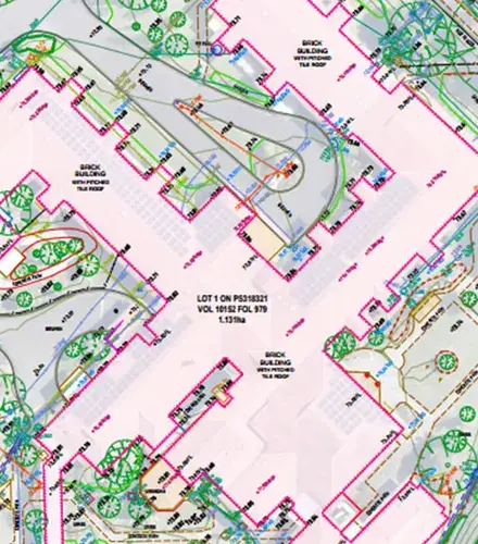
Our surveys deliver spatially accurate outputs ready for planning, approvals, and design. Common deliverables include:
Every feature and level survey is built around your end use, whether you are preparing a development application, a town planning report or a civil design.
We’re not just here to document. We’re long-term partners who deliver clarity and certainty in the early stages of your project.
Our team has delivered feature surveys for architects, councils and construction firms across Vic, NSW and QLD.
We work to your timeframe, including staged delivery when parts of your site become accessible.
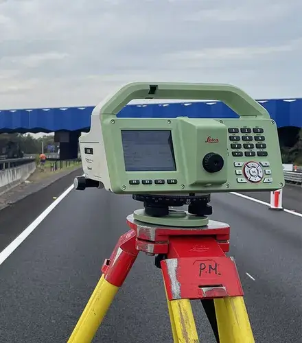
From drone flyovers to internal laser scans, we select the right tool for the job, not just the most convenient one.
Whether preparing a DA, town planning report or civil design, we provide data that’s purpose-built for your next step.
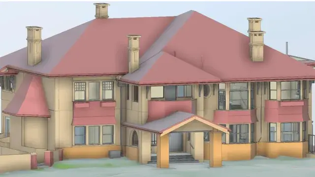
Landair Surveys undertook a detailed survey of a heritage-listed Brighton mansion, a grand example of 1920s Melbourne high society and one of the earliest Californian Bungalow-style homes designed by Cedric Ballantyne.
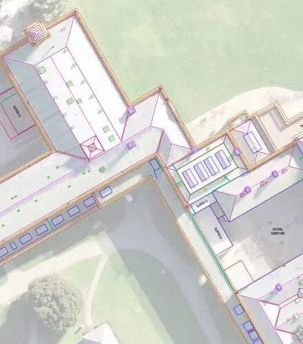
Landair Surveys was chosen by heritage architects Lovell Chen to document the external conditions of the historic Werribee Park Mansion.
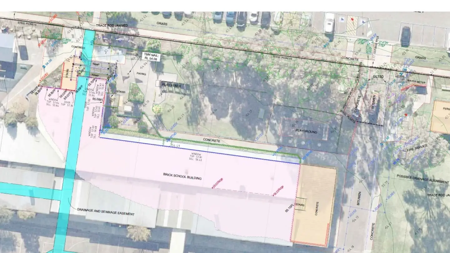
Since 2017, Landair Surveys has supported the Victorian School Building Authority (VSBA) to develop new government schools and upgrade existing infrastructure.
It is a complete conditions plan of your site, capturing terrain, buildings, above-ground services, vegetation and surface detail. It is also known as an existing conditions survey, a topographic survey or a detail survey.
We select the right method for each site. Drone flyovers suit broad site context, while static laser scanning is used where the finer details are paramount. Many projects combine methods to balance coverage and precision.
Yes. We can locate underground utilities and integrate the findings into your existing conditions survey, and our registered land surveyors can verify or re-establish title boundaries and easements, so you have a complete picture above and below ground.
We deliver feature and level surveys from our Melbourne and Sydney offices, and have completed feature surveys for architects, councils and construction firms across Victoria, New South Wales and Queensland.