For 40+ years, Landair Surveys has worked with landfill operators across Victoria and New South Wales to enhance site management, compliance and planning with precise and insightful data that’s easy to interpret and action.


Landair Surveys has provided ongoing support for Sunshine Landfill operations through monthly ground surveys and half-yearly whole-site flyovers.
Landair Surveys has played a key role in managing and aligning historical data for Cosgrove’s three landfill sites, creating a comprehensive spatial data file to serve as a single point of reference.
Landair Surveys has supported Werribee Landfill operations for over 25 years, addressing complex challenges with innovative solutions.
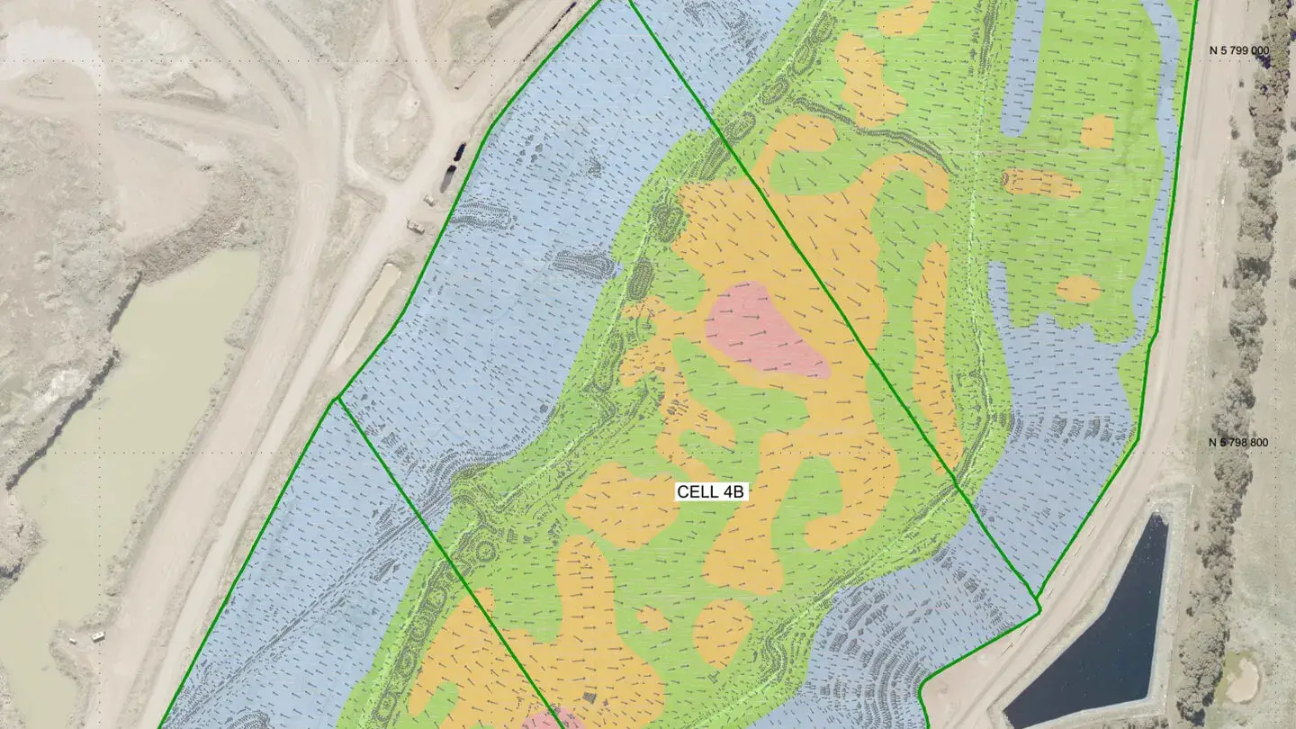
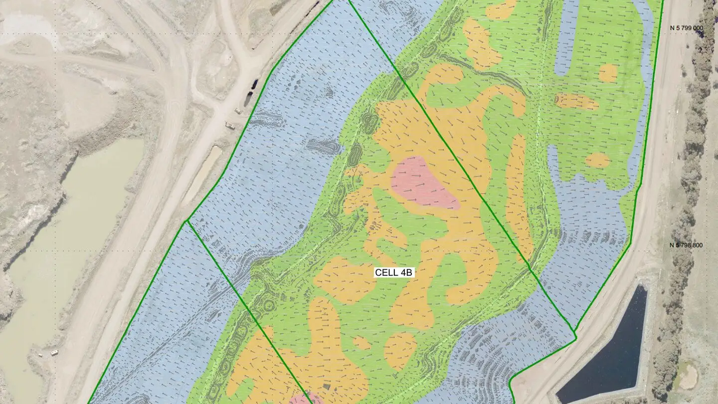
Measure changes in airspace volume, monitor stockpile levels, and provide whole-site volume analysis.
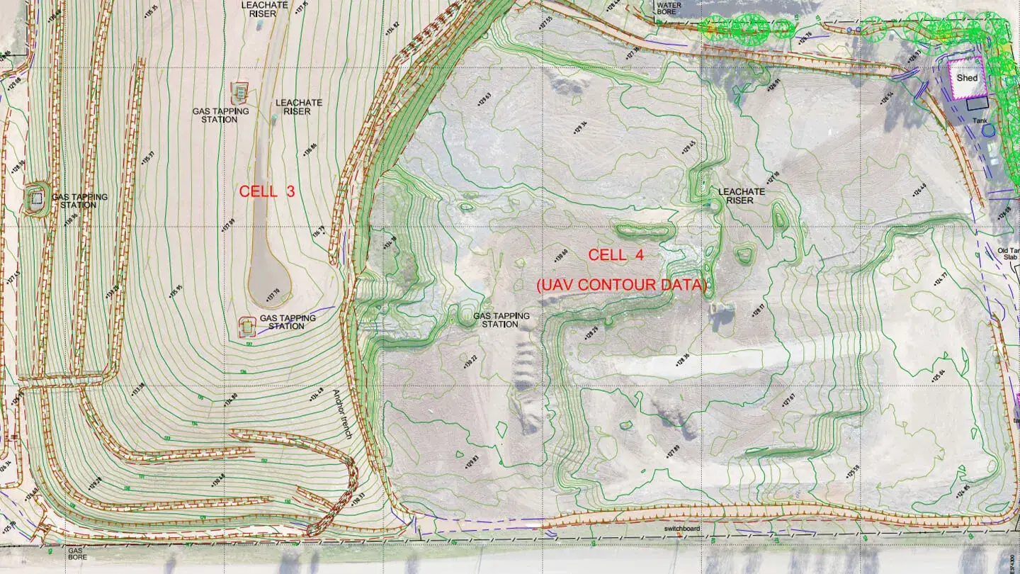
Capture existing site features and topography, while also monitoring surface temperature.
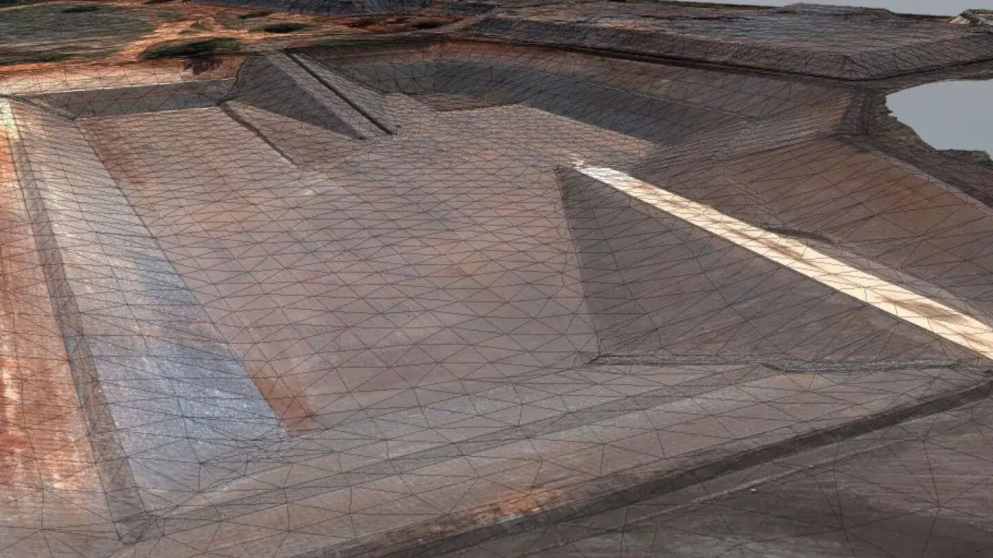
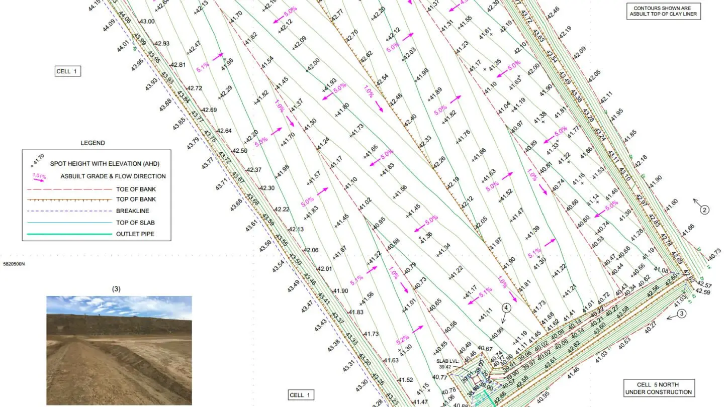
Perform setout and as-built surveys of cell floor and construction layers, plus periodic clay sideliner lift surveys.
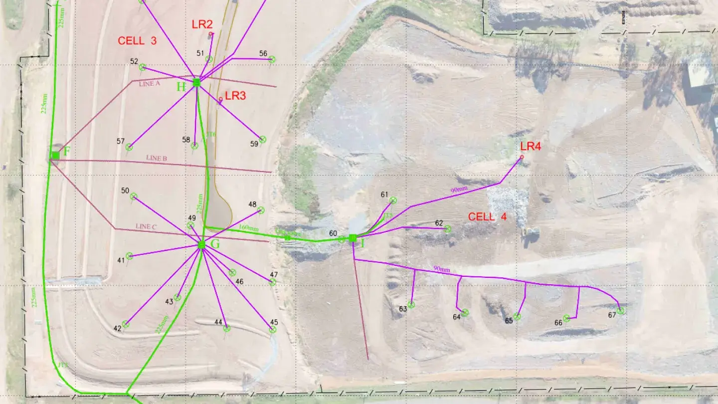
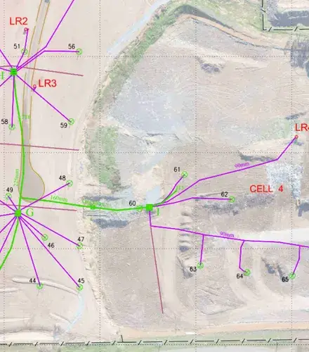
Map gas extraction infrastructure, boreholes and sump riser levels across the landfill site.
Share precise measurements of consumed and available airspace, to help project landfill capacity and lifespan.
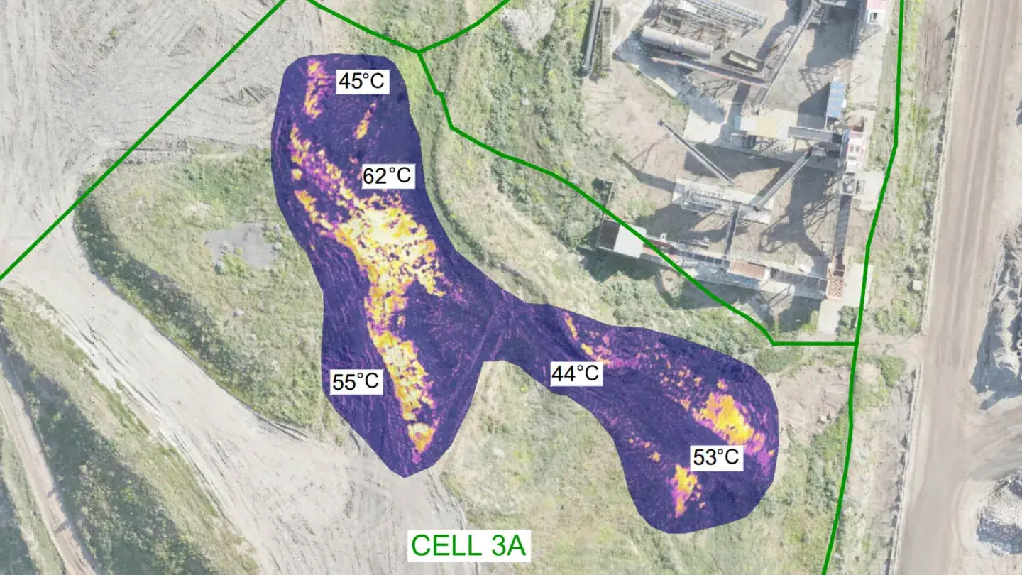
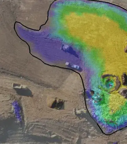
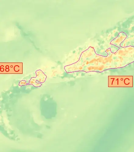
Provide temperature maps using thermal cameras or borehole temperature logs to identify abnormal heat zones.
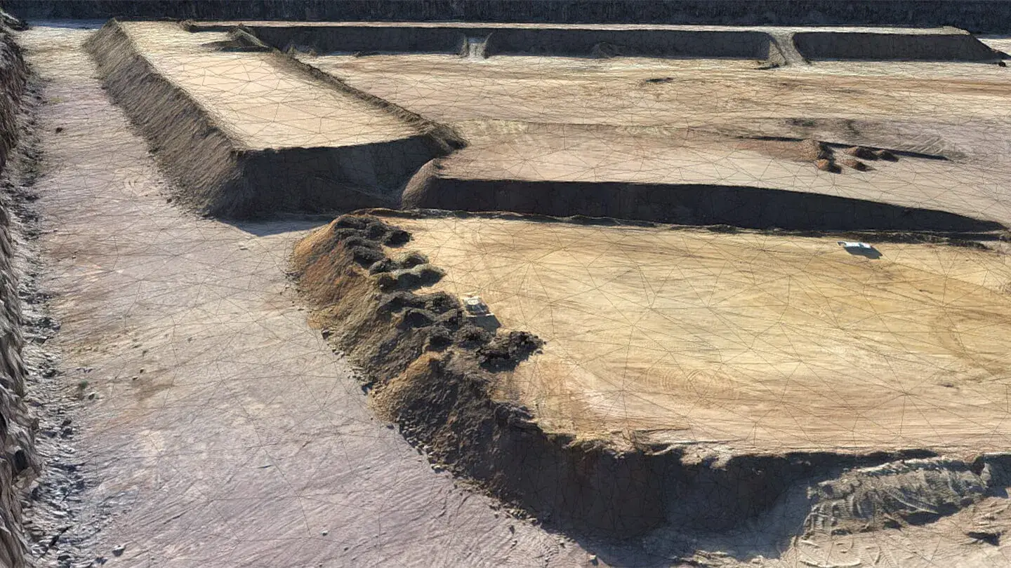
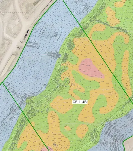
Document landfill cell construction layers (including subgrade, clay liner and leachate aggregate and gas infrastructure) to track cell integrity.
Give a comprehensive view of the landfill’s waste placement and stockpile volumes, critical for tracking waste movement.
Hotspot detection is a major part of landfill operations. Regular thermal flyovers of active and capped landfill cells can be important to fulfil EPA licence conditions.
Proactively identifying hotspots, before they turn into significant waste fires, also reduces the potential for large-scale remediation costs. At Landair Surveys, we:
“I’m very pro-Landair Surveys. I won’t go anywhere else. They’re accurate and professional, and they know what landfill managers need. If there’s ever a problem, all I have to do is let them know and they’ll resolve it quickly.”
Landfill Manager at The Barro Group
The Landair team understands the unique challenges of waste management. They’ll work with you to not just meet your obligations, but also develop more sustainable operations.
DIRECTOR
With over 20 years’ experience across all aspects of land and engineering surveying, Ray provides senior level supervision for Landair’s laser scanning, RPA (drone) and landfill surveying teams.
SENIOR SURVEYOR
Clint is a key member of our New South Wales team, bringing extensive experience in landfill, cadastral, and construction surveying, as well as project management. He has been involved in the majority of our NSW landfill projects, where he conducts RPA (drone) flyover surveys as a CASA-certified remote pilot.
PROJECT SURVEYOR
Brad has experience managing survey teams on complex architecture and heritage projects. He also specialises in 3D laser scanning, landfill surveying and RPA (drone) flyover surveys as a CASA-certified remote pilot.
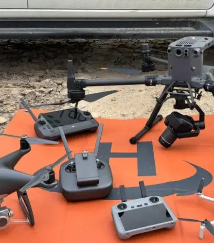
Drones are great tools and they can cover a site significantly quicker compared to traditional walk-over surveys. Drone imagery can look sharp and the big-picture data can be easily uploaded to online cloud hosting platforms like Propeller. Where you wouldn’t want to use drone data, though, is for anything requiring higher accuracy levels. It’s easy to confuse image GSD with accuracy, but it’s far from the case. A drone image pixel size of 2cm doesn’t mean the data is accurate to 2cm. Even with a good spread of ground control points or relying on RTK image positions, the final processed 3D data set from a drone flyover is usually accurate to +/- 50mm horizontally and +/-150mm vertically. At Landair we work with our clients to offer the best survey tech for the task at hand. For a whole-site snapshot, cell airspace monitoring or stockpile volumes drones are great. Landair has seven CASA-qualified drone pilots and can advise on any CASA airspace constraints. For higher accuracy works though, like cell construction surveys, traditional ground-based surveys will be best.

As a general rule-of-thumb, the following accuracies can be expected from the technologies Landair utilises on landfill sites: – Survey total station: +/- 3mm Survey-grade GNSS (GPS): +/-20mm RPA (drone): Horizontal +/- 50mm; Vertical +/- 150mm (largely dependent on surface reflectiveness, object contrast and consistent topography) Crewed aircraft: Horizontal and Vertical +/- 250mm (largely dependent on surface reflectiveness, object contrast and consistent topography) Survey-grade dumpy level: Vertical +/- 1mm
It might be surprising, but coordinate systems change over time. A distinct location on site can have a different position depending on which coordinate system is used. It’s not unusual for long-standing landfill sites to have data aligned to up to three national coordinate systems and maybe a distinct local site datum not connected to the national grid. Pre-1994 surveys were largely aligned to the Australian Map Grid (AMG66 or AMG84) which was referenced to the Australian tectonic plate. With the rise of GPS technology and its reference to the centre of the earth, a major coordinate shift was gazetted in 1994 known as Map Grid of Australia (MGA94). The Map Grid of Australia was further re-calibrated in 2020 (gazetted as MGA2020) to account for the 1.8m of continental drift between 1994 and 2020. Landair has assisted many of their landfill clients in migrating important historical site data over to the latest reference framework.
Most often, the reason why levels can differ between machine control and a surveyor’s instrument are because the mobile plant’s GPS system hasn’t been calibrated to the site’s historical datum point. Almost all landfill sites have a local long-standing primary benchmark (PM or SSM) to which all surveyor measurements are calibrated to. It’s common for operators to think they are positioned correctly based on mobile phone connection to a nation-wide base station grid yet haven’t confirmed their position based on the sites long-standing control network. It’s not unusual for machine control height values to differ up to 150mm when not calibrating locally.
Independence and auditing. Most critical construction and volume reporting milestones set by government for a landfill require measurement and data presentation by contractors independent of the landfill. Most landfill licenses specify these works are to be carried out by qualified surveyors.