Landair Surveys’ 3D laser scanning service delivers accurate and measurable site data to architects, landfill operators, and construction professionals across Sydney and Melbourne.
With advanced 3D laser scanning technology, we capture every visible detail of your site – converting millions of data points into practical and easy-to-use deliverables. Design, plan, and build with total confidence using the point clouds and models you need.
We equip architects with complete reality capture of the site using advanced 3D scanners – including the Faro Focus S150+ and NavVis VLX3. Get full floor plans, building footprints, and point clouds in the formats your team needs (AutoCAD, Revit).
View and measure every possible data point from every angle and reference, to:
Minimise disruption on your project and on-site risk.
Save money and time by measuring all visible features the first time.
Design with confidence that you fully understand every detail.
Supports conservation, and compliance with local planning frameworks.
Capture in square metres, volumes, and real-world measurements for reliable design inputs.
Never experience a data shortfall again, with a solid foundation for planning, design, remediation, or condition assessments.
Your quality data outcomes
Floorplans and RCPs
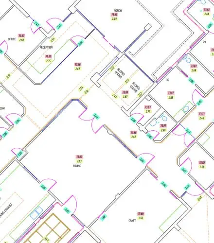
Develop existing floor plans and reflected ceiling plans using interior scanning data. Our services help bring your modern architecture floor plans to life with millimetre accuracy.
Façade elevation plans
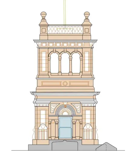
Create elevation plans using external scanning survey data that show architectural elements in detail.
Roof plans and imagery
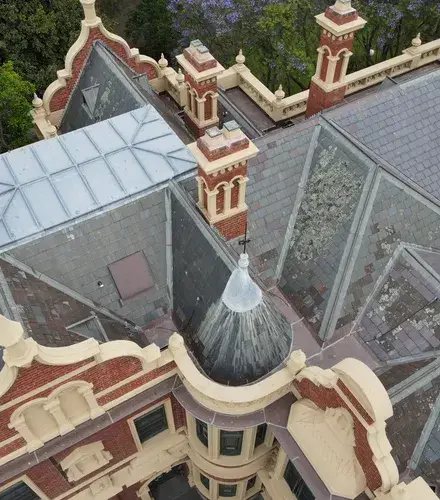
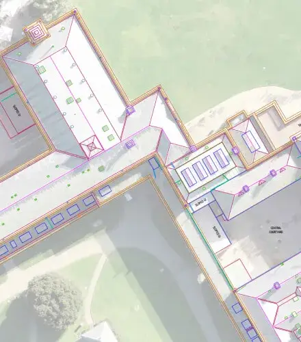
Create high-resolution roof plans and imagery using reality capture techniques like RPA and 3D laser scanning. Useful for site planning, assessment reports, and volumetric studies.
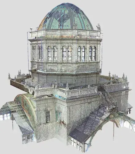
3D models and point clouds
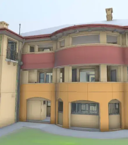
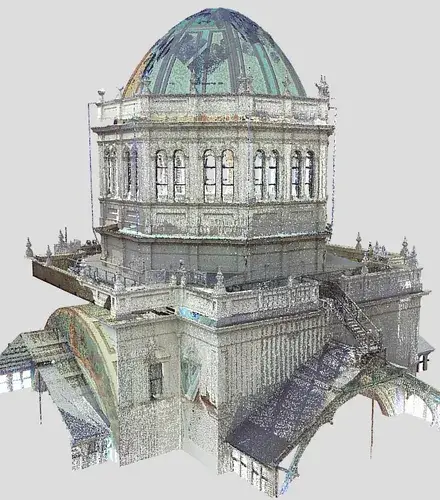
Generate detailed 3D models and point clouds from laser scanning data. Delivered in Revit, AutoCAD, or LOD formats to support accurate site design, building analysis, and planning submissions.
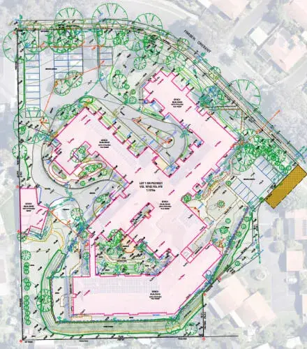
Feature survey plans
Show existing building footprints, topography, and structures. These site plan architecture deliverables meet both design and compliance requirements across Victoria and New South Wales.
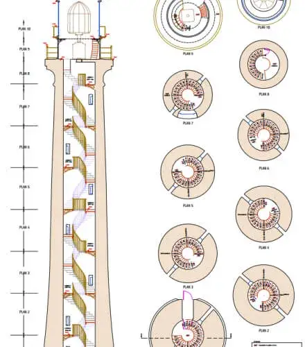
Section plans and verticality analyses
Process scanning and monitoring data to show facade verticality and room-to-room site context.