When you need to cover large or remote areas quickly, crewed aerial surveying delivers data that drones and ground surveys can’t match.
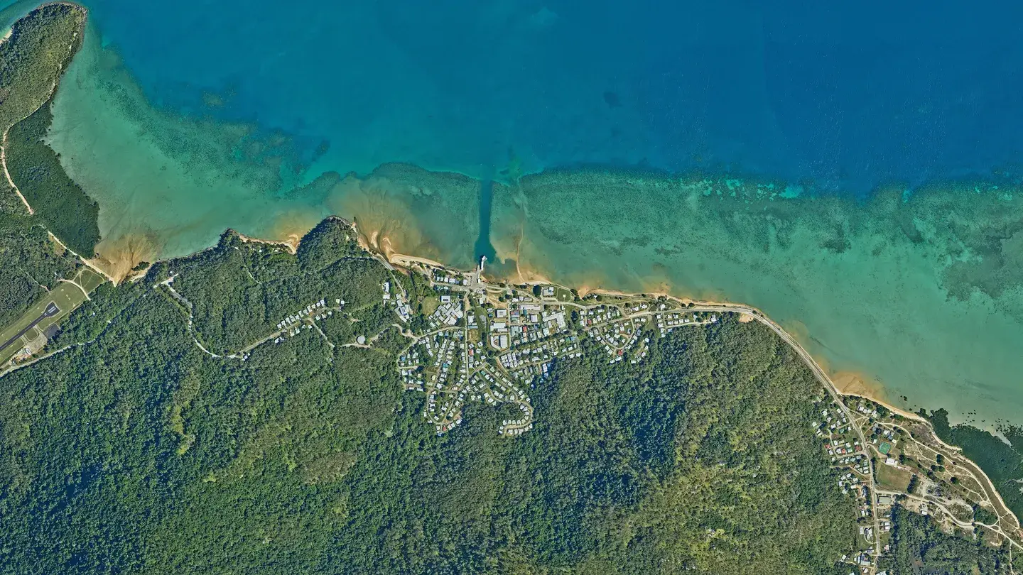
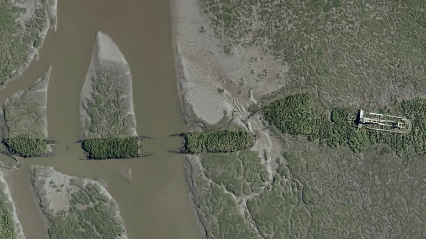
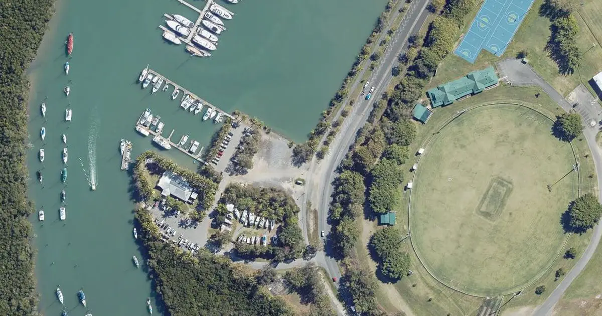
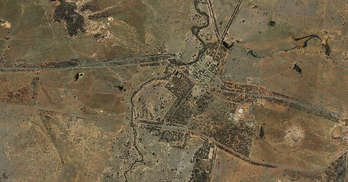
Flying from stable, twin-engine aircraft equipped with advanced camera and sensor systems, aerial surveys capture high-resolution aerial imagery across Australia – from regional townships and floodplains to major infrastructure corridors.
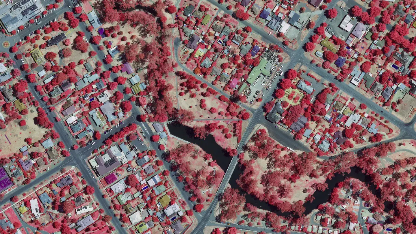
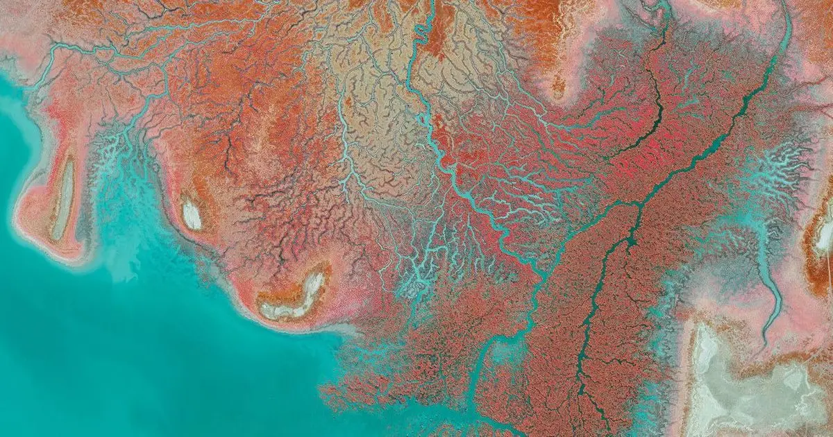
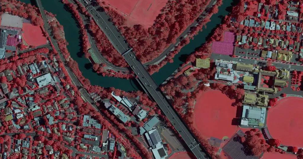
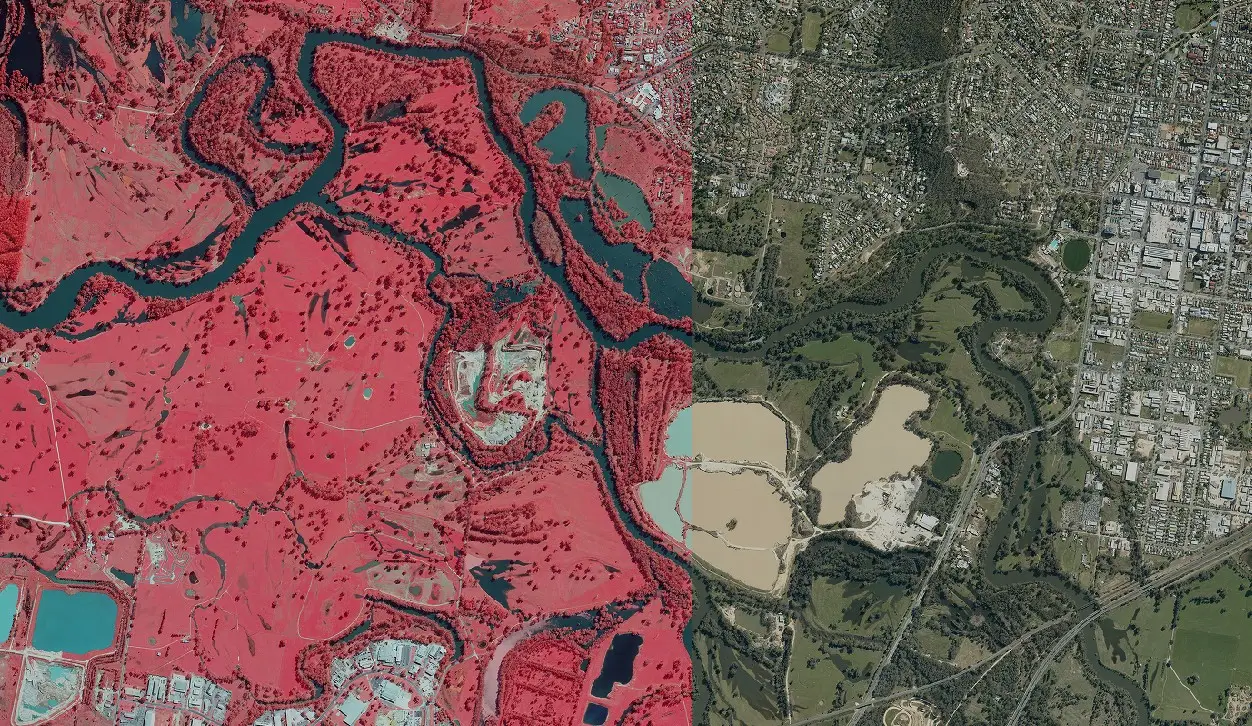
Whether you need precise elevation data, stockpile volumes, CIR vegetation mapping or town planning, aerial surveying provides a reliable foundation to power your decision making.
See how Landair Surveys’ geospatial imagery solutions deliver high-quality aerial data to support your projects.


Aerial surveying offers speed, coverage and accuracy on a scale unmatched by other methods. It’s the ideal solution for projects that demand:
Drone surveys excel at detailed, localised mapping. For surveying very large areas and higher altitude surveys with wide-angle capture, choose manned aerial surveying.
Crewing aircraft with advanced aerial cameras makes it possible to capture accurate data across entire regions, making this service essential for:
✔ Regional mapping and natural disaster modelling
✔ Urban growth monitoring and by-law enforcement
✔ Corridor mapping for transport and utilities
✔ Surface models for design and verification
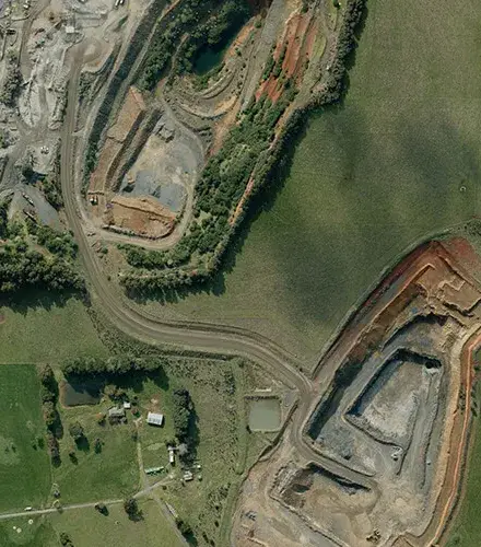
✔ Stockpile and pit volume calculations
✔ Site condition reporting across large leases
✔ Vegetation health monitoring with multi-band imagery
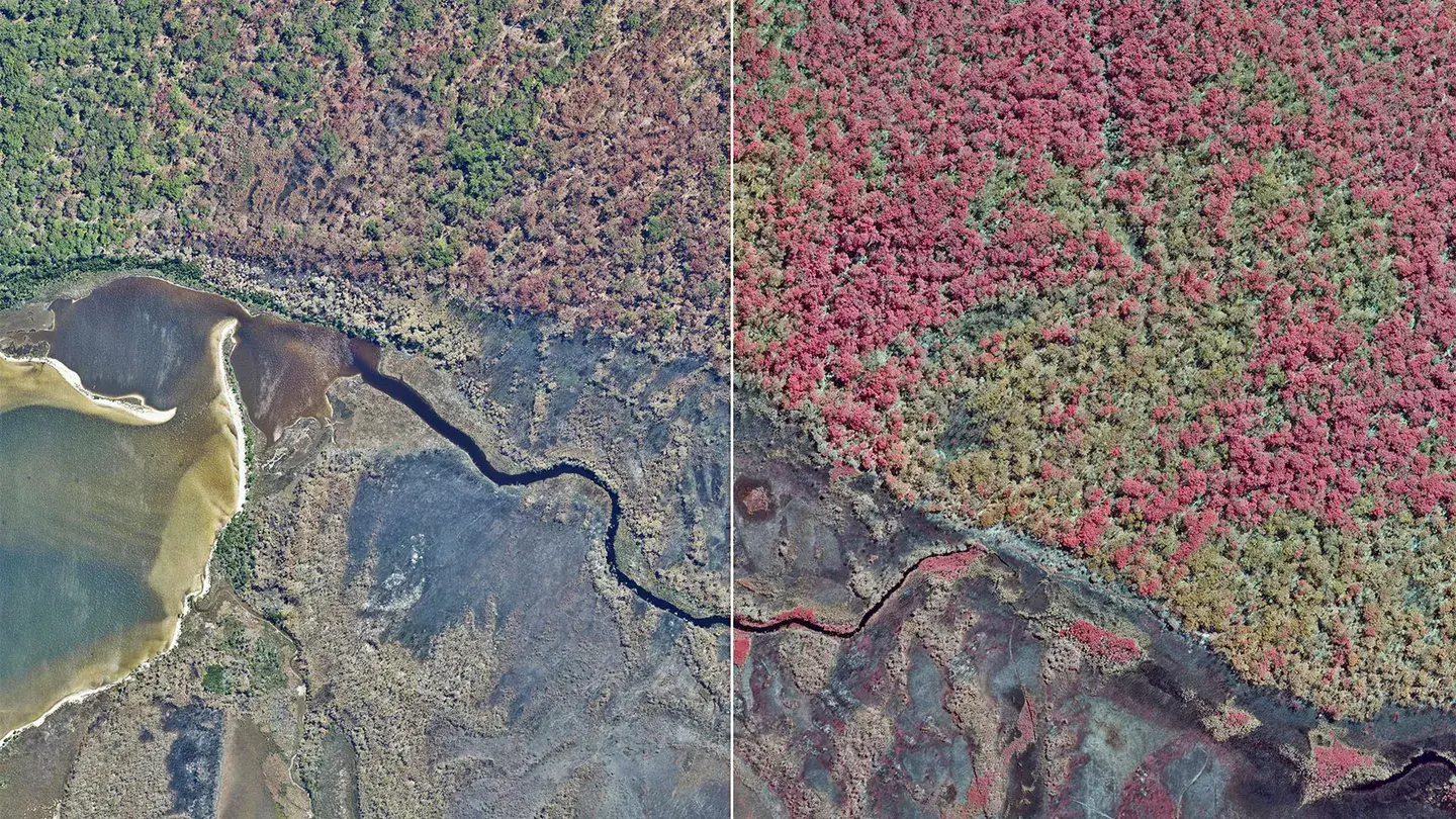
✔ Post-burn and conservation mapping
Aircraft-mounted systems generate spatial data that’s tailored to your workflow. Landair also integrates aerial outputs with your GIS or CAD environment, ensuring consistency with existing survey datasets.
Aerial photography is captured in two ways, and the right one depends on what you need to see. Vertical photography looks straight down and is used for mapping, volumetric calculations and vegetation management, and it is the basis for orthophotos. Oblique photography is captured at an angle, so building facades and site structures can be seen from the side.
Seamless, distortion-free images georeferenced for direct measurement.
Showing bare earth or top-of-surface detail.
Accurate stockpile and cut/fill analysis across large sites.
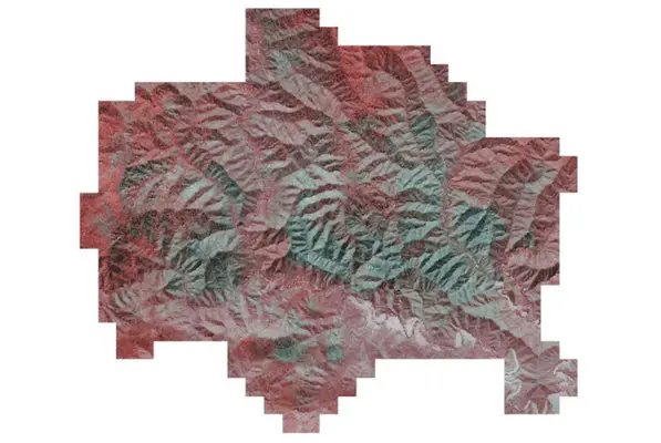
Four-band imagery for vegetation and environmental monitoring.
Contextual views for planning, visualisation and stakeholder engagement.
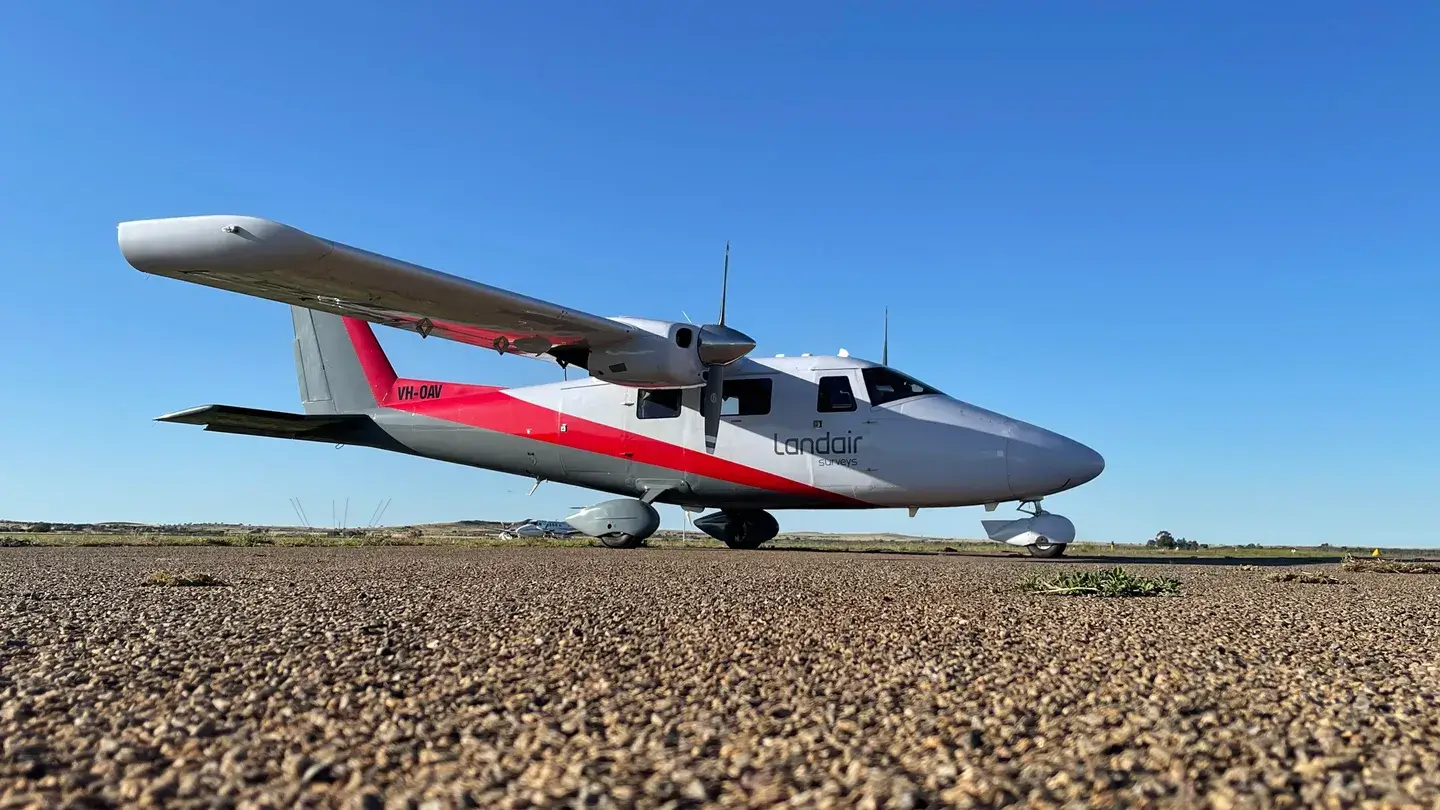
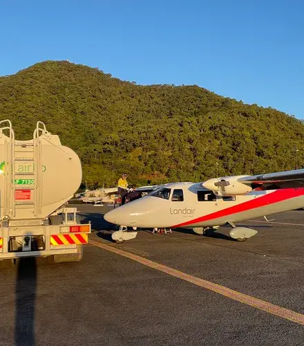
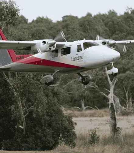
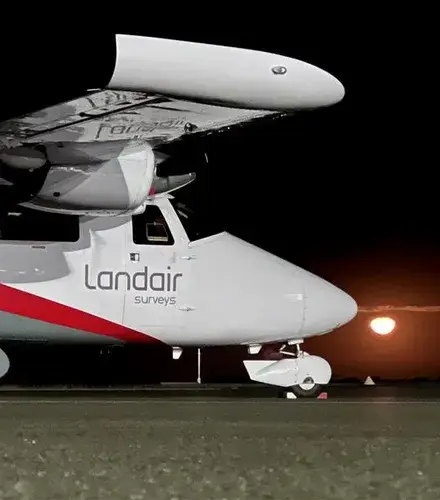
Landair operates twin-engine Vulcanair P68C aircraft for stability and efficiency, supported by additional platforms (Piper Navajo and Cessna C205) when required.
280MP, 4-band imagery with RGB and NIR lenses.
80MP system for specialist aerial capture.
For orthorectification, mosaicking, seamline editing and distortion correction.
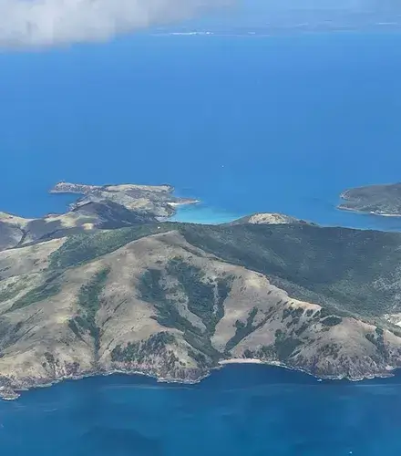
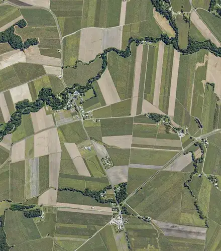
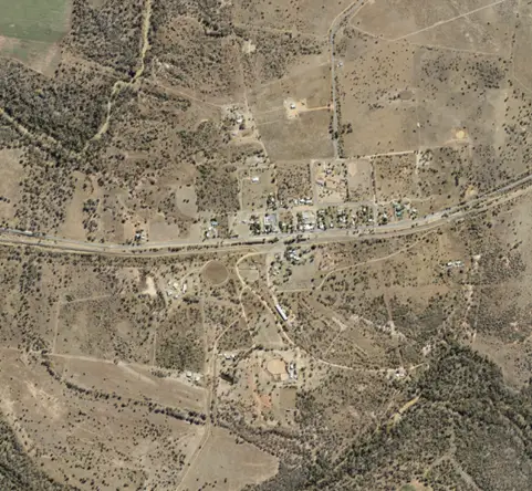
Landair Surveys captured over 2,000 square kilometres of high resolution aerial imagery across 40 Queensland towns and 8 central islands.
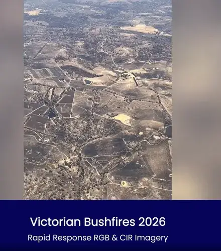
Landair Surveys supported the Victorian Department of Environment, Land, Water and Planning (DELWP) by capturing high resolution aerial imagery of planned burn sites across the Gippsland and Barwon South West regions.
Crewed aerial surveys use a twin-engine survey aircraft to cover very large or regional areas quickly. Drone, or RPA, surveys are flown by our own CASA certified pilots and suit detailed, localised sites. Landair runs both, so the platform is matched to your project.

Ground sample distance is the real-world size that each pixel in the image represents, so a smaller ground sample distance means finer detail. Landair captures aerial photography at 20cm ground sample distance or better.
Yes. Crewed aircraft handle wide regional captures, and drones handle high-detail local sites. For the Queensland Department of Resources, Landair captured over 2,000 square kilometres of aerial imagery across 40 towns and 8 islands.
Yes. Landair handles and stores your data securely and not in the cloud, and you retain ownership of your data.