
An underground services survey (or utility locating survey) identifies and maps buried infrastructure, like water pipes, sewer lines, electrical conduits, communication cables, stormwater drains and gas mains.
Before any design, excavation or construction activity, you need to understand what lies beneath your site. Locating underground services prevents utility strikes, supports safe construction and ensures compliance with worksite regulations.
In many cases, it’s also a necessary input for engineering design, authority approvals or asset documentation.
You can’t afford to guess what’s beneath your site. Underground service locating is essential for:
While Dial Before You Dig (DBYD) is a useful first step, it doesn’t guarantee accuracy. It’s not a physical investigation. That’s why on-site verification through a qualified underground survey is essential.
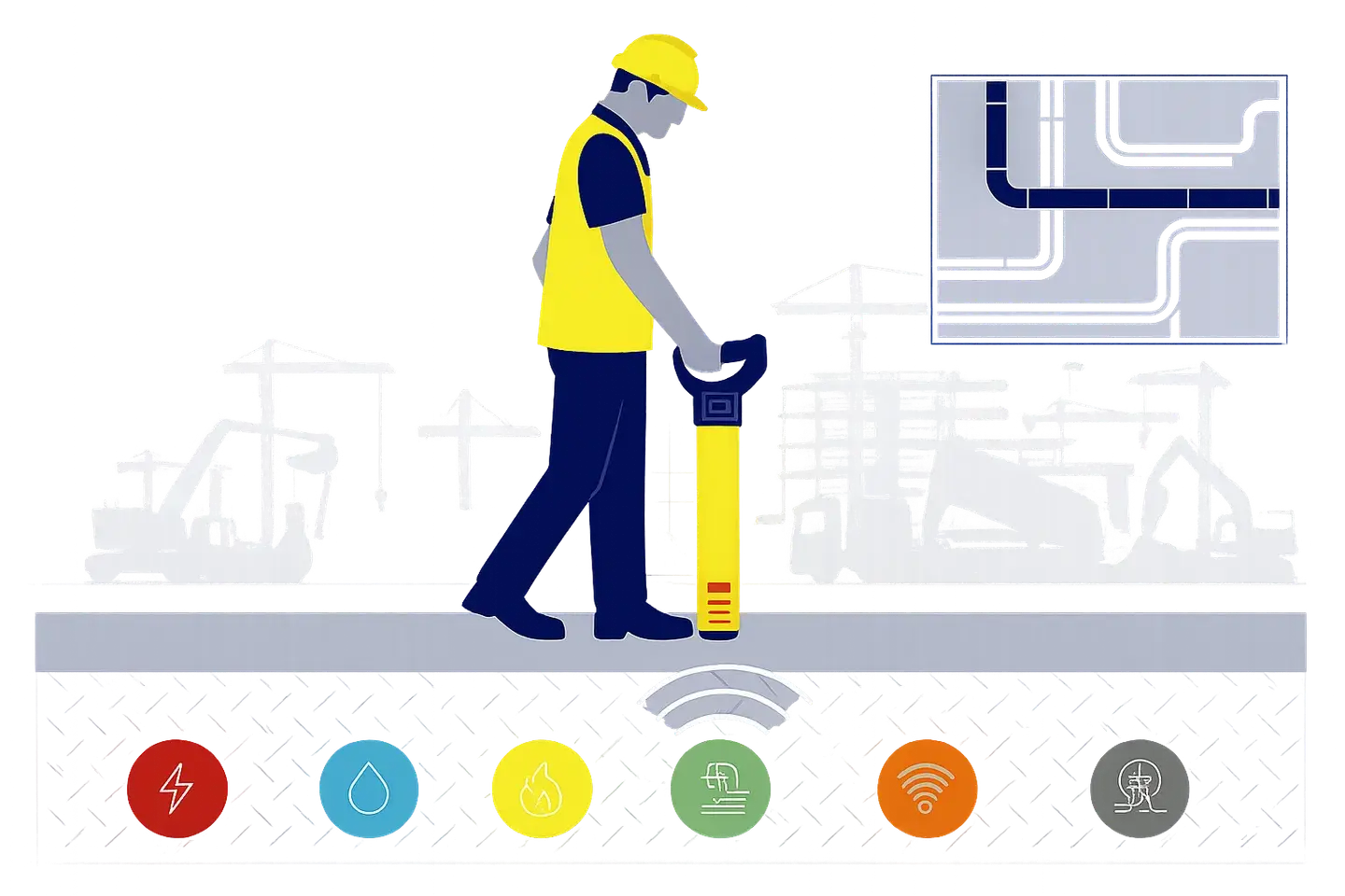
From early-stage design to on-the-ground excavation, underground service locating helps ensure safe and efficient work across sectors.

✔ Confirm site feasibility
✔ Identify service easements and setbacks
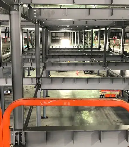
✔ Map pre-construction service
✔ Validate setout and clash avoidance

✔ Support road, park and asset upgrades
✔ Meet safety obligations for civil works
Locating buried services isn’t as simple as using a single tool or technology. In practice, it requires a combination of desktop research, on-ground scanning, interpretation and spatial surveying. Here’s how it works:
We start by assessing all the available information. This might include Dial Before You Dig (DBYD) responses, as-built drawings, previous survey plans and utility authority data. These documents provide initial guidance, but are often incomplete or outdated.
Specialist technicians use detection equipment to identify underground services. This includes:
Once we’ve detected and marked services on the ground, a licensed surveyor records their locations using GNSS, total stations or laser scanning. This data is then drafted into digital outputs that align with your site base plan or coordinate system.
Landair’s underground service surveys provide data in formats ready for integration into planning, design, or construction workflows.
We can add underground data to your broader feature and level, cadastral or as-built surveys for a unified output. Typical deliverables include the following:
Showing detected services with appropriate annotations and confidence levels.
Combining surface feature and underground data into one comprehensive dataset.
Showing key detection areas, marked to show service locations and support future verification.
Detailing the methods, equipment used, service conflicts and any detection limitations.
It is essential to conduct underground surveys prior to finalising designs, applying for permits, or commencing excavation activity. That means:

Landair Surveys has partnered with a range of architecture, conservation, and construction professionals to deliver more than a decade’s worth of surveying projects across the University of Melbourne’s metropolitan and regional campuses.
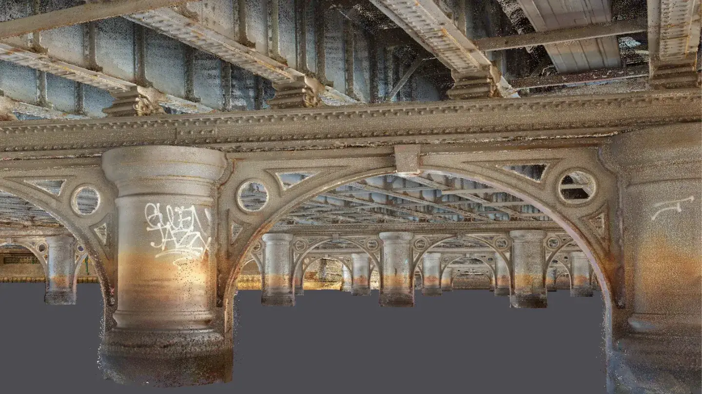
Landair Surveys was engaged by heritage architecture firm Conservation Studio to undertake a detailed existing conditions survey of Queens Bridge, a heritage-listed wrought-iron structure spanning Melbourne’s Yarra River.
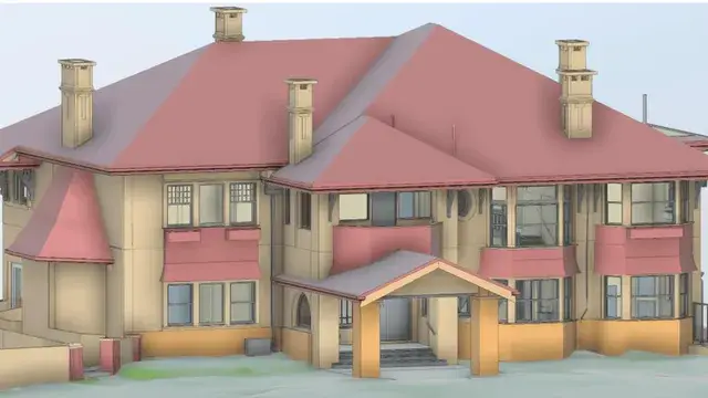
Landair Surveys undertook a detailed survey of a heritage-listed Brighton mansion, a grand example of 1920s Melbourne high society and one of the earliest Californian Bungalow-style homes designed by Cedric Ballantyne.
An underground services survey, also called a utility locating survey, identifies and maps buried infrastructure such as water pipes, sewer lines, electrical conduits, communication cables, stormwater drains and gas mains. It gives you a clear picture of what lies beneath your site before any design, excavation or construction activity begins.
Dial Before You Dig is a useful first step, but it is not a physical investigation and does not guarantee accuracy. On-site verification through a qualified underground survey is essential to confirm what is actually beneath your site and where it sits.
Locating underground services prevents utility strikes, supports safe construction and helps you meet duty-of-care obligations under state and national guidelines. It also avoids unexpected rerouting costs, delays and redesigns, and provides verified data you can carry straight into your planning, setout or asset documentation.
Architects and designers use it to confirm site feasibility and identify service easements and setbacks; construction and engineering teams use it to map pre-construction services and validate setout; and government and council teams use it to support road, park and asset upgrades. Landair delivers underground service locating from our Melbourne and Sydney offices.