Working alongside government departments and local councils on projects throughout Greater Melbourne and Sydney, Landair Surveys’ precise data helps manage and upgrade our roads, parks, waterways and major public infrastructure.
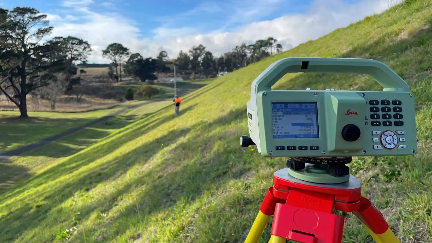
Establish benchmarks and reference points, and identify movement over time.
Your quality data outcomes
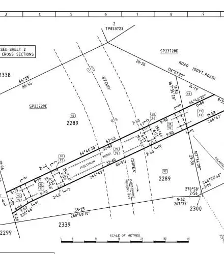
Accurate plans and contour maps
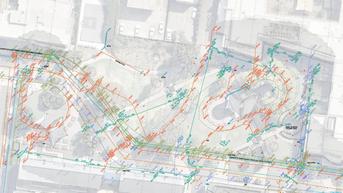
Create precise plans for design, maintenance and upgrading of public infrastructure in PDF and DWG formats.
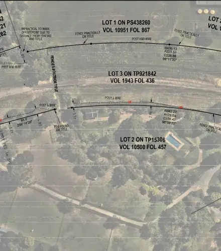
Property boundary plans
Define boundaries for title surveys that validate ownership limits and reveal discrepancies in encroachments or registered easements.
Dredge calculations
Estimate sediment thicknesses and volumes that need to be removed for effective waterway and asset maintenance.
Licensed surveyor plans and reports
Ensure that your projects have the documentation needed to meet statutory requirements and regulatory processes.
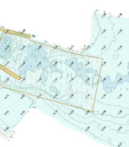
Bathymetric surveys
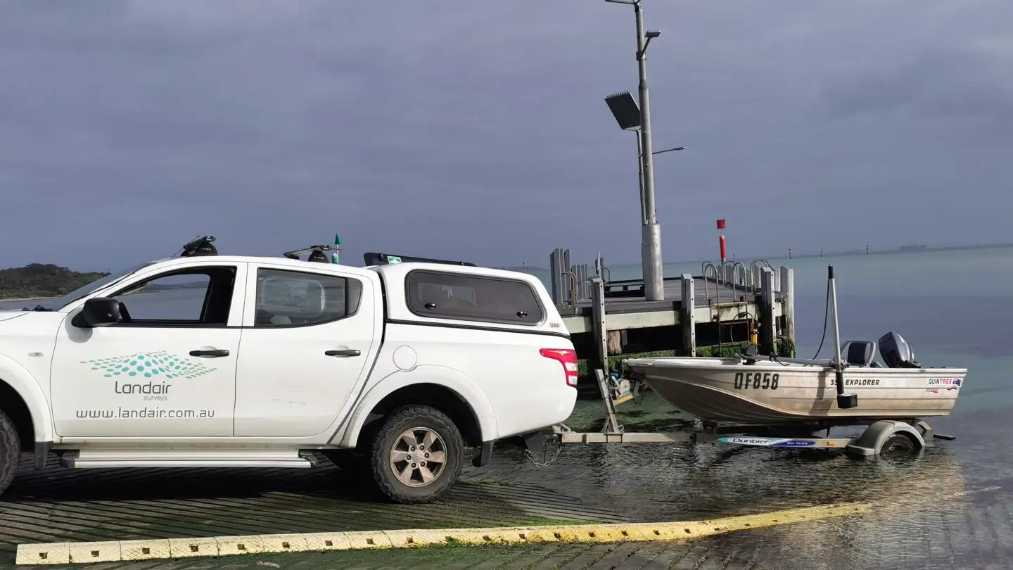
Using our dual frequency, single beam echo sounders, together with a total station or survey-accurate GNSS receiver, Landair can measure the terrain of lakes, dams or the ocean floor to determine bed profile.
Our equipment enables us to not only measure the contours of the lakebed, but also to measure the depth of sediment in lakes, to empower public infrastructure development around our waterways.
See successful land surveying projects within government.
West Gate Tunnel Project
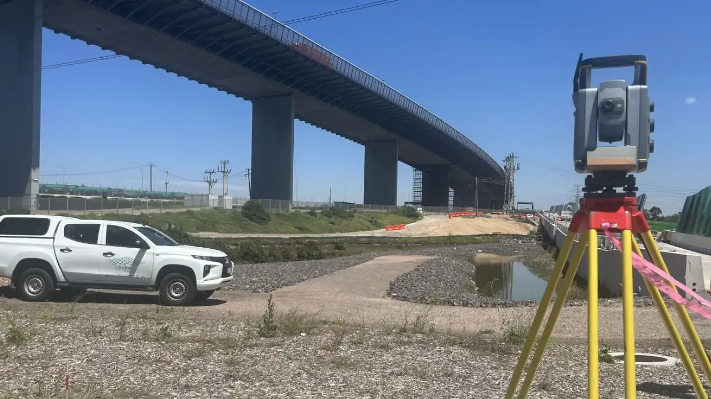
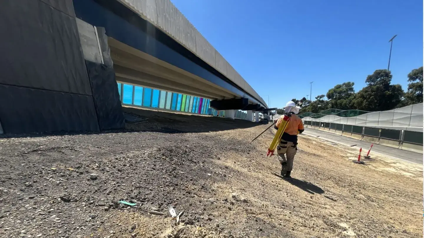
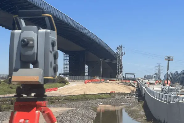
As part of Victoria’s Big Build, Landair Surveys supported the Department of Transport and Planning on the West Gate Tunnel Project, delivering over 1,400 hours of surveying services.
Since 2015, Landair Surveys has supported Mornington Peninsula Shire Council with annual bathymetric surveys of sea beds near boat ramps from Mornington to Portsea.
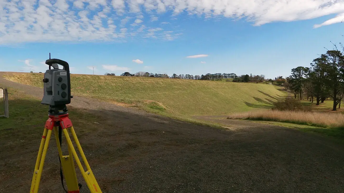
Landair Surveys are currently contracted by Coliban Water to undertake Dam Safety Structural Surveying with these works having been performed since 2017.
Why governments choose Landair for land surveying.
Your challenges
Facing lengthy approvals and funding complexities?
Need licensed surveyors who are available on-demand?
Struggling to manage multiple stakeholders and external variables?
How we can help
We have experience with government projects, timelines and approval processes.
Our team keeps you informed to mitigate delays and guide you through procedural hurdles.
We’re panel-approved and licensed surveyors with the technical knowledge needed to meet government standards.
Our team is readily available and adapts to tight schedules, completing surveys promptly, even within tight timelines.
Our clear communication and proactive approach make stakeholder coordination smoother.
We collaborate with your consultants on solutions to minimise scheduling disruptions.
Hear from our infrastructure partners.
“Landair Surveys are easy to work with. They have invaluable local and legal knowledge, keep you updated on what’s happening and give you genuinely useful advice. The team is also very good at dealing with local stakeholders.”
Paul Goodison
Project Manager at Yarra Ranges Council
Meet our experts in land surveying for governments.
The land surveyors at Landair offer practical solutions, local insights and proactive updates to keep complex government infrastructure initiatives on track.
DIRECTOR
Trent Webb
A surveying expert of more than 20 years, Trent specialises in cadastral surveying, registered as a Licensed Surveyor in both Victoria and Queensland. He is our Survey Operations Manager in Victoria and provides senior supervision for all types of surveys within our team.
SENIOR SURVEYOR
Marcus Samuelsson
Marcus a senior surveyor has been a part of our team for over 10 years and is Landair’s team leader for construction and bathymetric surveying. He also has extensive monitoring experience and is one of Landair’s RPA (drone) pilots. His vast experience in managing survey teams at the project level allows him to take an active role in developing the skills of junior surveyors.
PROJECT SURVEYOR
Eden Coombes
Eden has extensive knowledge and experience in cadastral surveying and is currently under a Professional Training Agreement to become a Licensed Surveyor.
PROJECT SURVEYOR
Matt Dobson
Matt has diverse experience across surveying with his key surveying projects including infrastructure, engineering and monitoring surveys. He is specialising in cadastral surveying and is currently under a Professional Training Agreement to become a Licensed Surveyor.
SENIOR SURVEY DRAFTER
Clare Capell
Clare joined the Landair Surveys team in 2016 with significant drafting experience across all land surveying disciplines. As our Senior Survey Drafter, Clare specialises in cadastral, feature, infrastructure and laser scanning survey drafting tasks and has experience in 3D modelling and pointcloud data extraction.