Environmental Imagery and Spatial Data Solutions

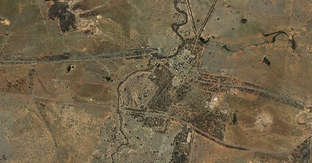
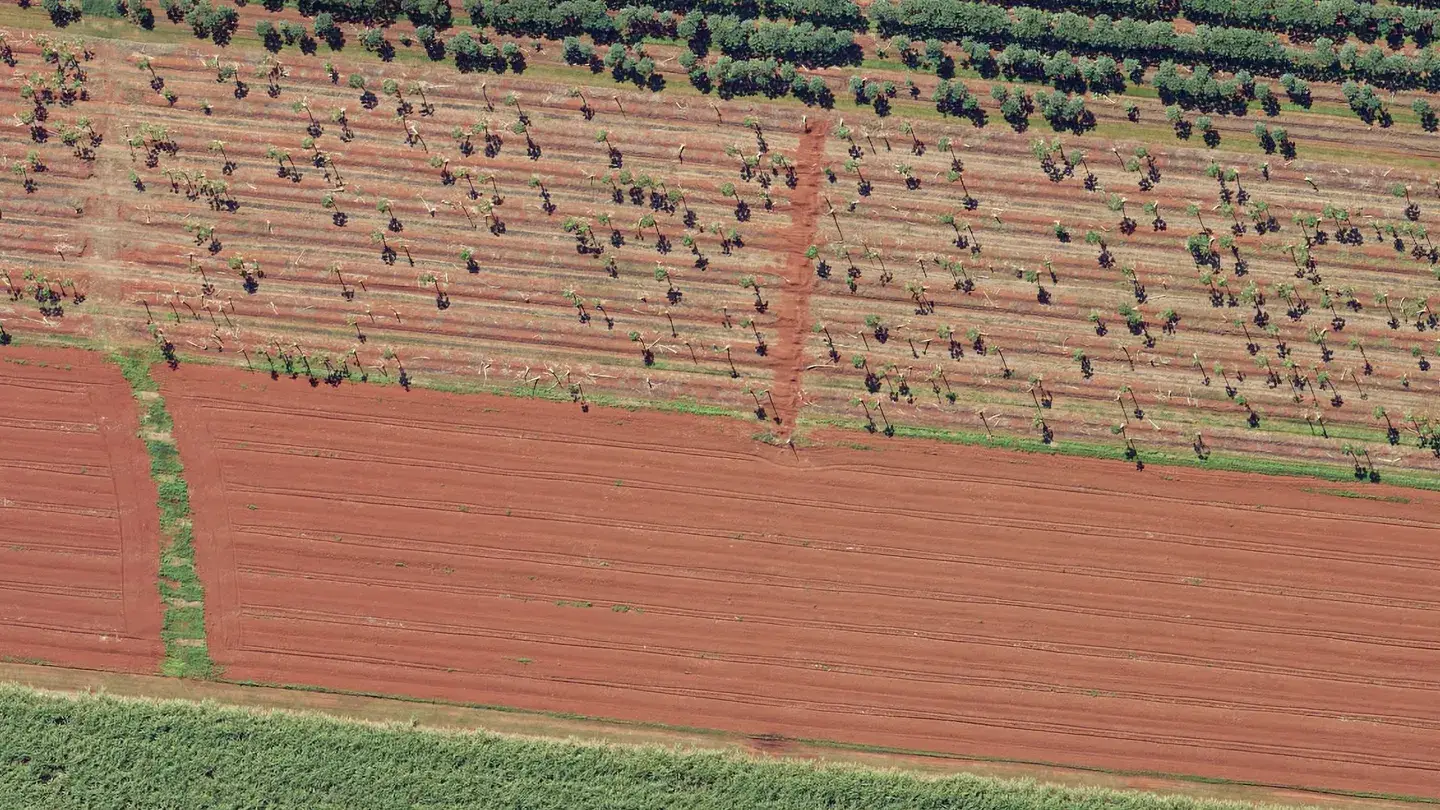
Landair Surveys provides high-resolution aerial imagery, orthophoto maps, and spatial imagery services trusted by carbon project developers, biodiversity offset providers, and nature‑based solution firms and environmental organisations across Australia.

Our aerial mapping expertise delivers accurate, geospatial data to plan projects, establish baselines, satisfy regulatory requirements, monitor outcomes over time, and GIS analysis.

Whether you’re managing environmental monitoring programs or need orthomosaic maps for land use planning, we offer reliable aerial survey photography and mapping solutions to help you make informed, confident decisions.

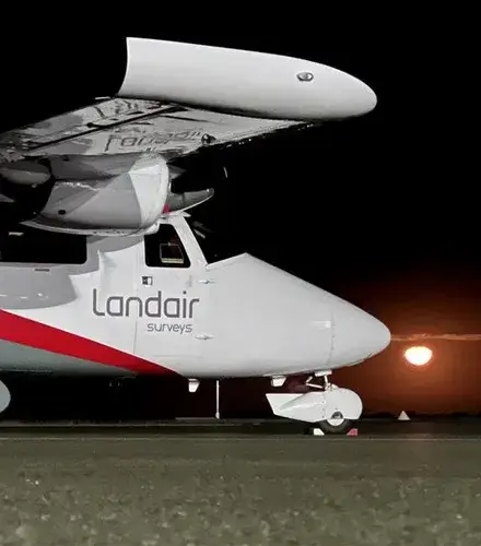
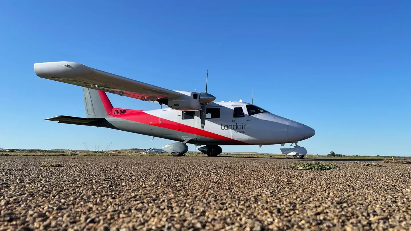
Vulcanair P68C VH-OAV

Get the right spatial data for your project’s lifecycle

Feasibility and site selection, baselining and design, regulatory approval, ongoing monitoring (MRV), compliance auditing, risk management (e.g. fire/flood), and ultimately credit issuance

See how Landair Surveys’ geospatial imagery solutions deliver high-quality aerial data to support your projects.

Brochure Covers_small-square

44,755 km²

Aerial imagery captured since 2022

covalent land
Barro Group
Department of Transport Victoria
Spatial Services NSW
Department of Natural Resources and Mines, Manufacturing, and Regional and Rural Development
Tas Government
Hanson
Holcim
Parks Victoria
Mornington Shire Council
Synergy Resources

See some of our successful aerial surveying projects.

We capture aerial photography across Australia, using crewed aircraft and our Phase One 280i and Leica RCD30 airborne sensor systems:

We capture vertical and oblique aerial imagery across Australia, using:

Spatial Imagery Services Program

Spatial Imagery Services Program (SISP)

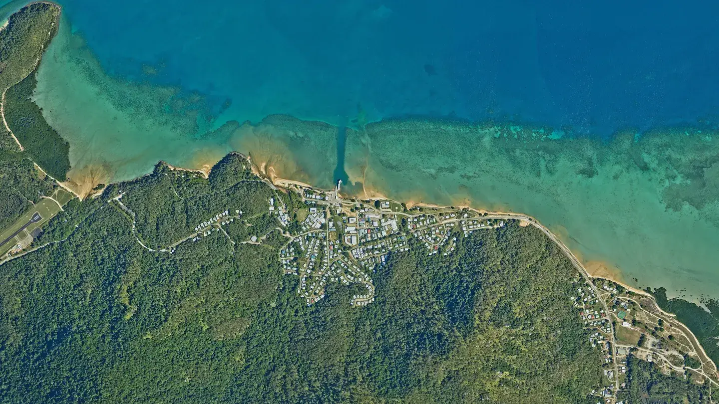
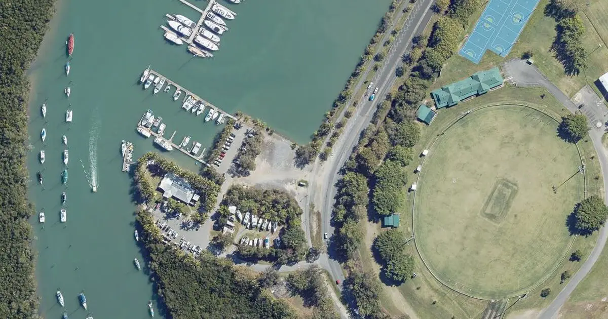
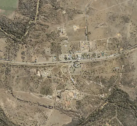
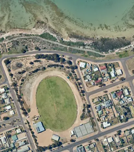
Landair Surveys captured over 2,000 square kilometres of high resolution aerial imagery across 40 Queensland towns and 8 central islands.

Statewide planned burns

Statewide Planned Burns

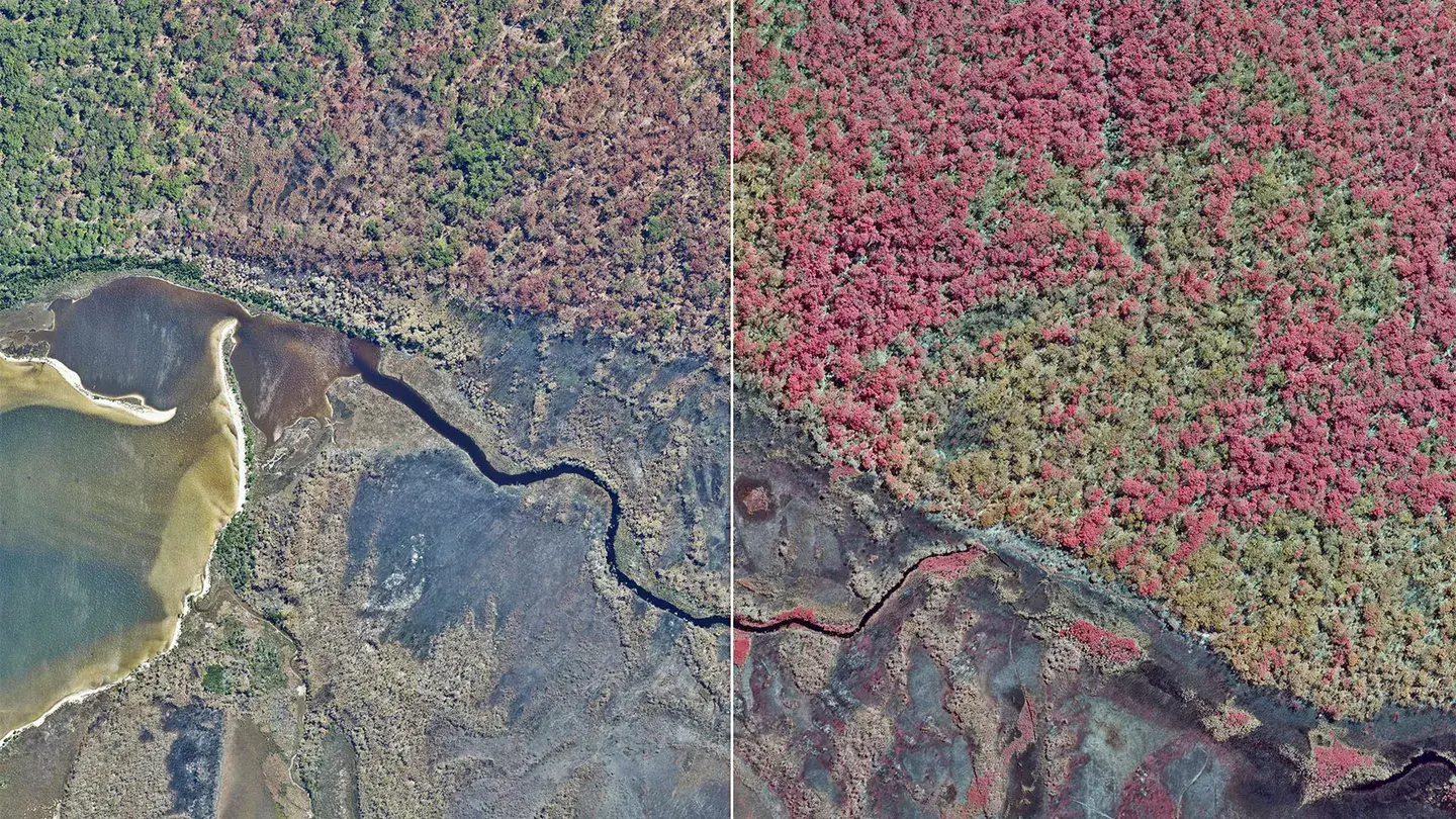
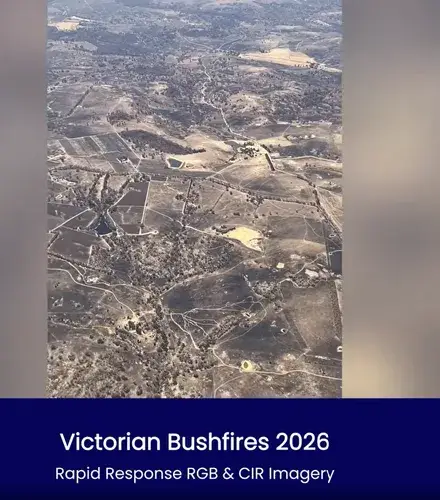
Landair Surveys supported the Victorian Department of Environment, Land, Water and Planning (DELWP) by capturing high resolution aerial imagery of planned burn sites across the Gippsland and Barwon South West regions.

YouTube

How we capture your aerial surveying data

Top 5 tips for spatial services

Capture detailed and highly accurate data across larger areas and at higher altitudes – using a stable twin-engine aircraft equipped with advanced cameras and sensor technology.

Your quality data outcomes

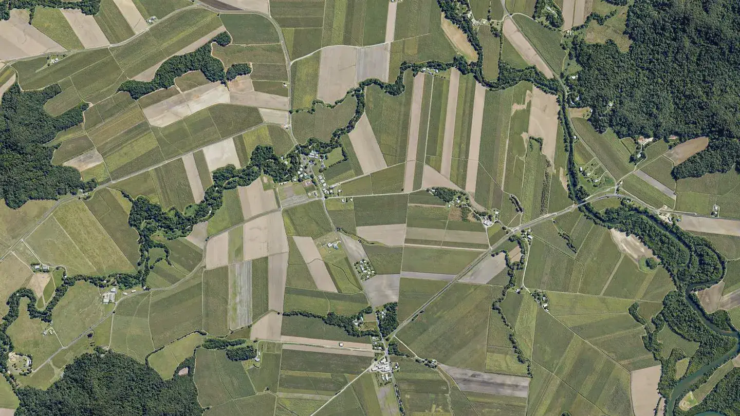
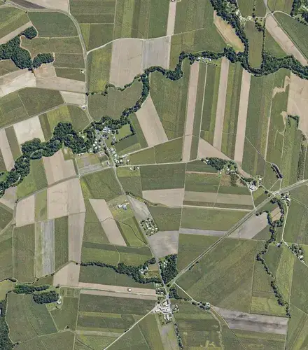
Orthophoto mosaics

Orthophoto mosaics

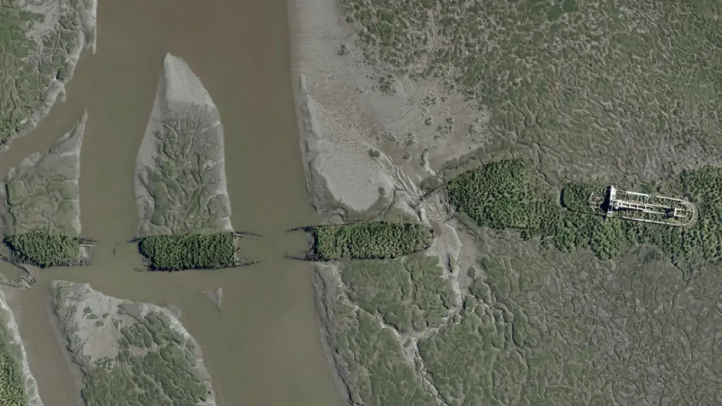
Distortion-free, geometrically correct aerial imagery foundational for accurate GIS integration, mapping, and asset registers. It aligns seamlessly with other spatial layers.

DEM

Digital elevation models

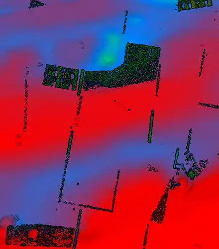
Provide essential elevation data for applications from land-use planning and flood modelling to environmental conservation.

Aerial Surveying for Government Geospatial imagery heatmap

Volume calculations

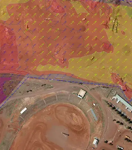
Perform volume calculations between different surfaces, for mining volumes, land movement analysis, and environmental monitoring and planning.

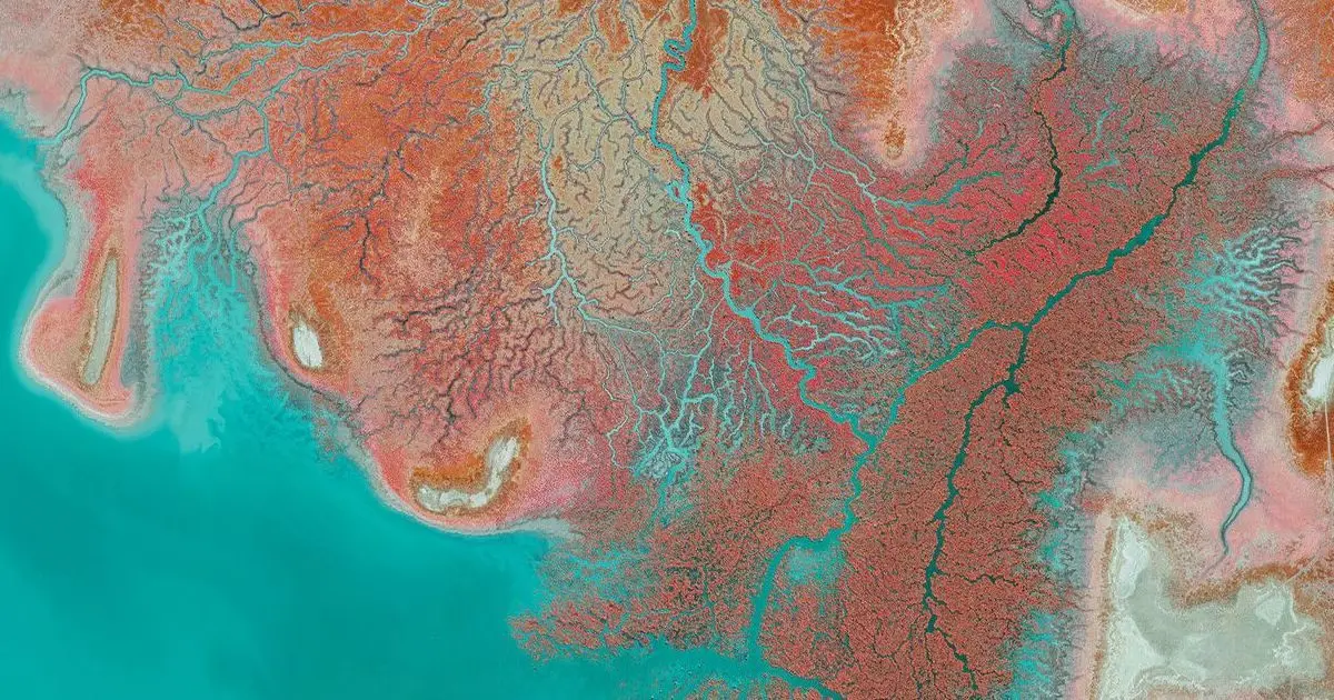
Multi-band orthomosaics

Multi-band orthomosaics

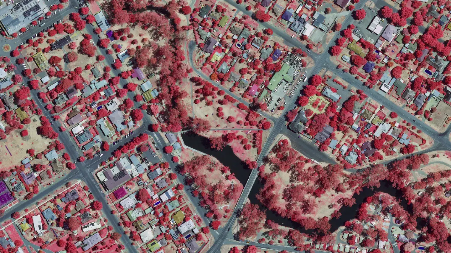
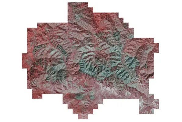
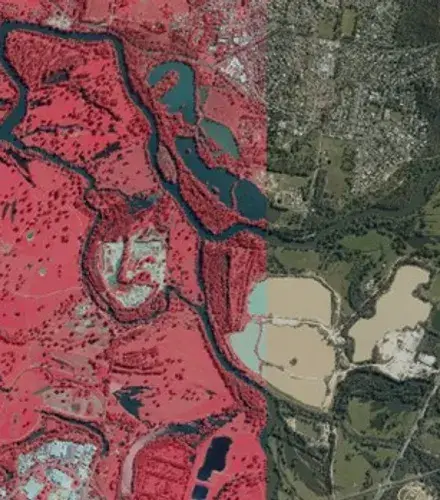
Enable vegetation and environmental monitoring and mapping, biodiversity mapping, and carbon accounting.

Aerial photography

Vulcanair P68C twin-engine aircraft

Additional aircraft: Piper Navajo and Cessna C205.

PhaseOne 280i large format camera

Additional system: Leica RCD30

IX Process for image processing

SimActive Correlator3D for orthorectification

This imagery is ideal for the mapping, volumetric calculations and vegetation management that’s so essential for carbon project developers, biodiversity offset providers, and nature‑based solution firms planning.
We can also overlay other data onto these photos, including:

Why Carbon & Biodiversity Markets choose Landair for aerial surveying.

Aerial Surveying for Carbon & Biodiversity clients means navigating unique challenges – from strict quality standards to regional airspace restrictions.

Landair brings deep experience and proven reliability to projects, delivering high resolution aerial imagery, accurate aerial surveying, and precise orthophoto data across Australia. Our insights help inform planning, environmental management, and infrastructure decisions with confidence.

Your challenges

How we can help

We provide high‑resolution aerial imagery, elevation models, and analytical spatial products to support Australia’s carbon, biodiversity, and natural capital frameworks.

Our datasets underpin baseline establishment, eligibility assessment, monitoring, reporting, and compliance for projects operating under:

Potential downstream products including:

Hear from our government partners.

“Landair do what they say they will. When they mobilise to a site, they’re there until the work is done. I can’t remember a time they’ve missed a project status report. They make themselves available when we need them.”

Amanda Secker

Spatial Imagery Coordinator at the Department of Resources (Queensland)

“Some companies take on too much work at once and are too busy when things go wrong or are delayed. Not Landair. They’re open and transparent, putting in the quality responses to quotes and getting the work done well.”

Michael Conroy

Imagery Stream Lead, Department of Transport and Planning (Victoria)

Meet our experts in aerial surveying for Carbon project developers, biodiversity offset providers, and nature‑based solution firms.

The aerial surveying team at Landair are second to none when it comes to responsiveness. They’ll always do what they promise.

Erik

MANAGING DIRECTOR

Erik Birzulis

With 30+ years in land, engineering and aerial surveying, Erik guides Landair in its mission to build successful long-term relationships. He leads our team of skilled professionals to deliver accurate results.

Raju

SENIOR PHOTOGRAMMETRIST

Raju Byragani

Raju is a senior photogrammetrist and our reserve airborne sensor operator, who has been working in his and photogrammetry since 2007.

Patrick

SPATIAL ANALYST

Patrick Tansey

Patrick is a spatial analyst who has delivered orthophoto mosaic and elevation projects for government clients across eastern Australia

Kelly

AIRBORNE SENSOR OPERATOR

Kelly Winsor

Kelly is our airborne sensor operator and has captured aerial imagery throughout Eastern Australia, from the Torres Strait to Tasmania.

FAQs

We use a large format sensor to reduce the amount of time required to capture imagery, which minimises risks due to unsuitable weather and changing sun angles over the area. Our team always plans for redundancy timeframes to allow for weather, air traffic and aircraft maintenance delays.

Our processing contingencies include: Hiring additional licenses of our software, SimActive Correlator3D. Adding additional human resources to your project. Ensuring that all available computer workstations are processing your images 24/7, with our remote access software. Keeping you constantly updated with weekly progress reports.

We understand that government organisations have very specific data storage and requirements sharing requirements. For that reason, your scanning data: Is not stored in the cloud. It is kept securely on our servers in the short term. Is owned by you, not us. We do not ‘rent’ your data back to you. Is transferred to you and then removed as required from our servers.

Let’s get started.