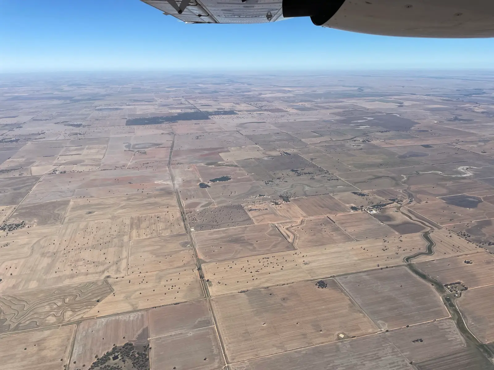
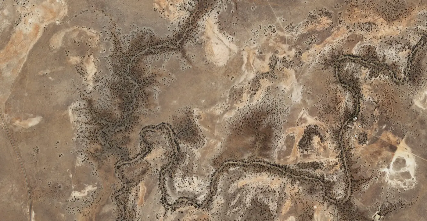
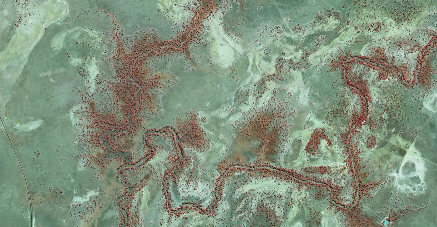
Landair Surveys captured high resolution aerial imagery across the Narran region in northern New South Wales for Spatial Services, the NSW Government’s spatial data authority. Flying crewed aircraft fitted with a specialised airborne sensor system, our team surveyed this remote landscape of wetlands and agricultural country and delivered orthorectified imagery at a 40 cm Ground Sample Distance.
The imagery was produced in both natural colour (RGB) and colour infrared (CIR) formats. CIR imagery highlights vegetation and water coverage, making it a valuable tool for environmental monitoring and land management alongside standard mapping uses. Datasets like these give government users a current, geographically accurate view of regional New South Wales.