Explore how Landair has solved complex challenges on projects throughout Australia, from large-scale infrastructure developments to unique solutions for heritage architects.
108 Little Bourke Street Melbourne
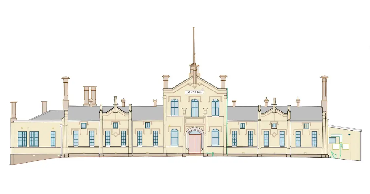
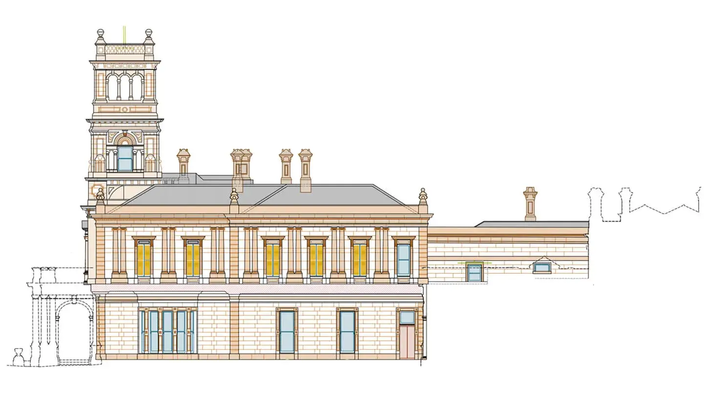
The Landair Survey team journeyed to the heart of China Town to measure the heritage facades at 109 Lt Bourke St on behalf of conservation specialists Conservation Studio.
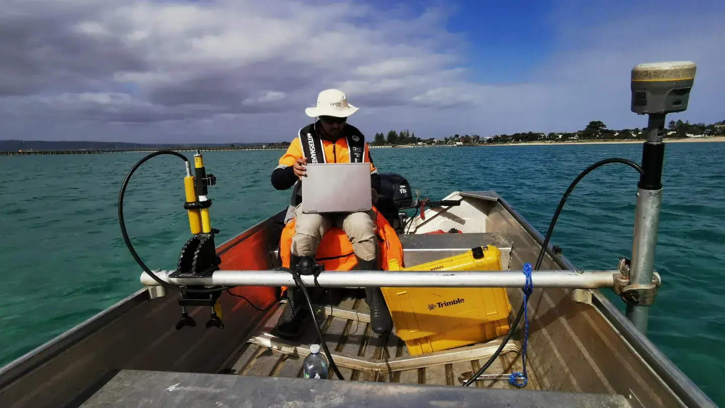
Since 2015, Landair Surveys has supported Mornington Peninsula Shire Council with annual bathymetric surveys of sea beds near boat ramps from Mornington to Portsea.
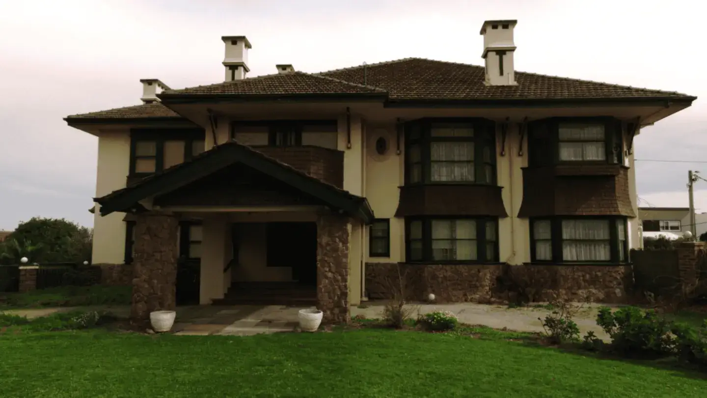
Landair Surveys undertook a detailed survey of a heritage-listed Brighton mansion, a grand example of 1920s Melbourne high society and one of the earliest Californian Bungalow-style homes designed by Cedric Ballantyne.
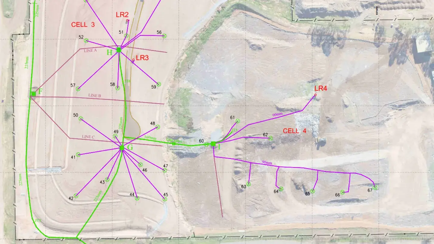
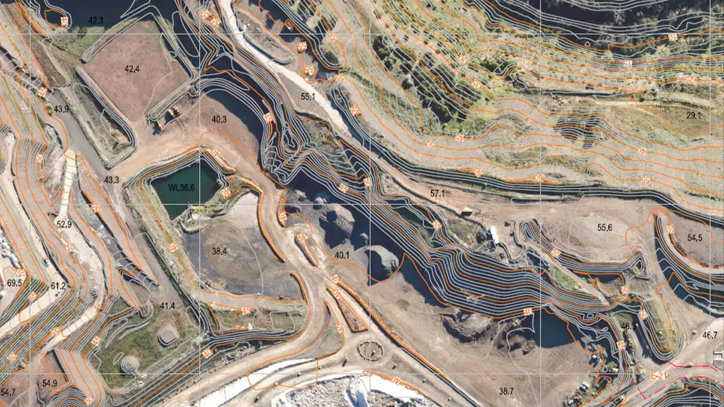
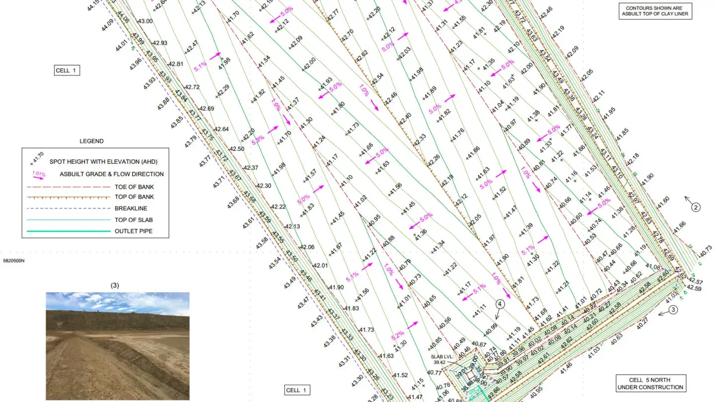
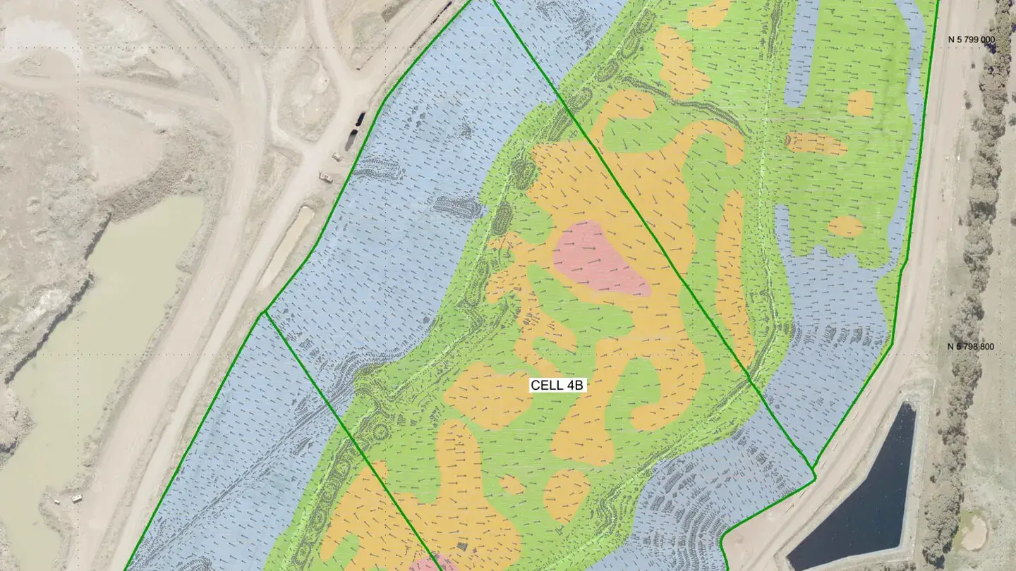
Landair Surveys has played a key role in managing and aligning historical data for Cosgrove’s three landfill sites, creating a comprehensive spatial data file to serve as a single point of reference.
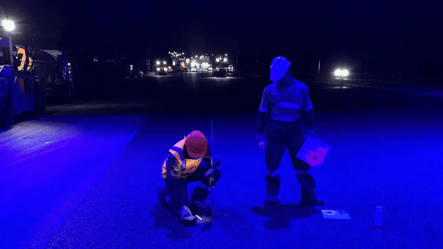
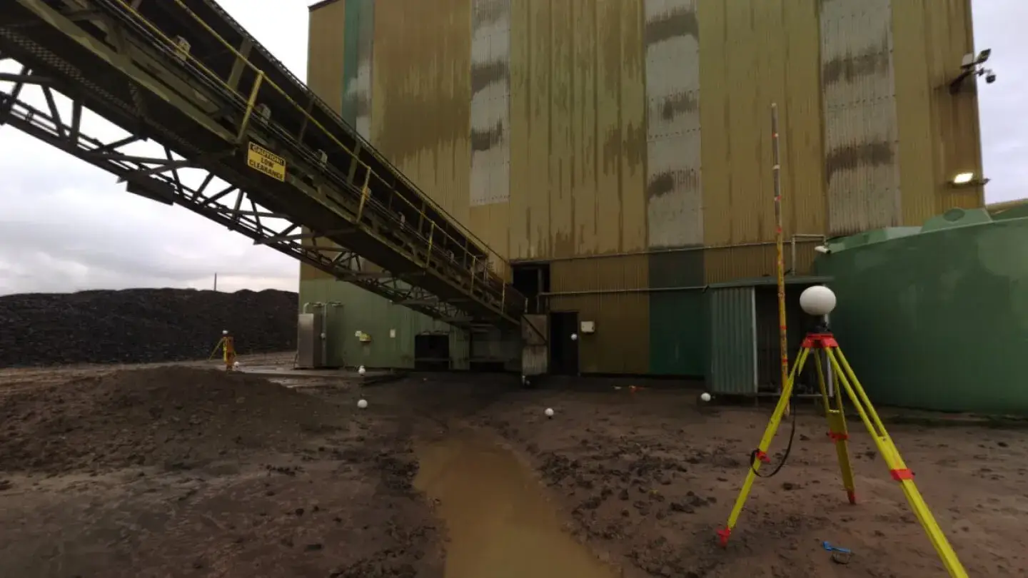
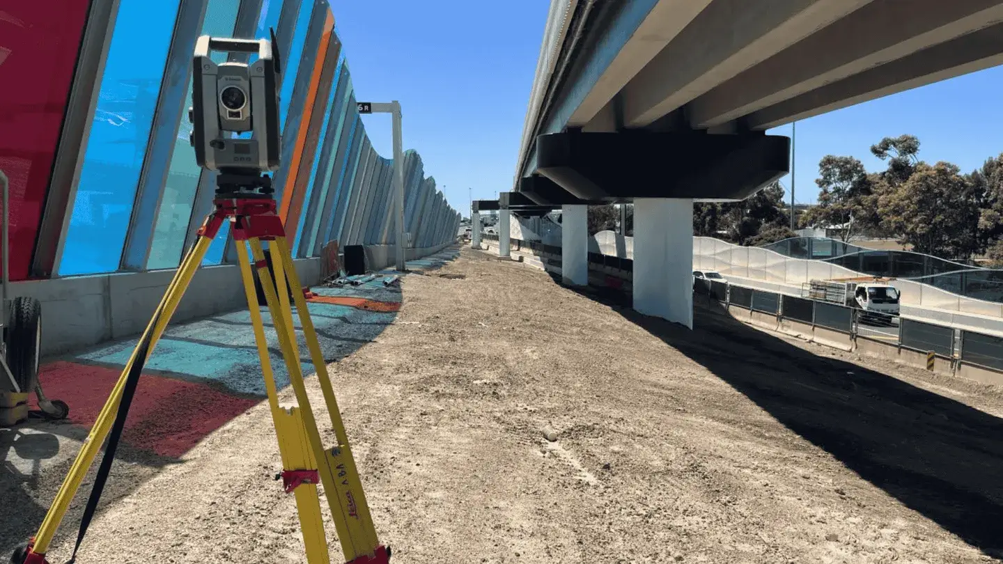
Landair Surveys supported ConnectEast and Downer Group in the resurfacing of Eastlink, contributing over 2,500 surveying hours across three consecutive summers.
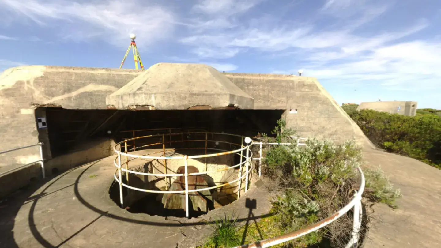
Landair Surveys partnered with Conservation Studio and Parks Victoria to conduct a 3D infrastructure survey of the historic Fort Nepean military complex on the Mornington Peninsula.
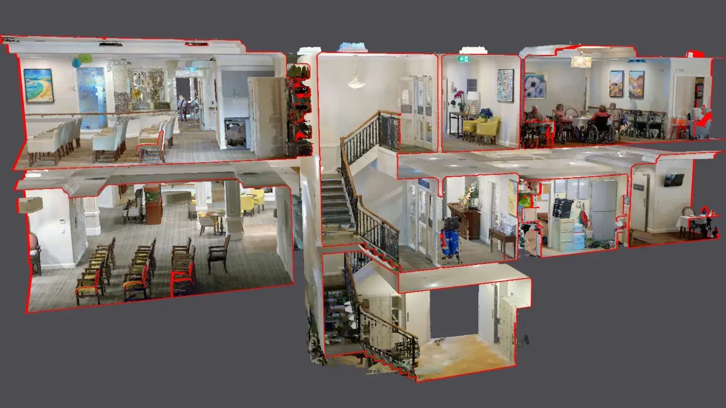
Landair Surveys was engaged by architecture firm Group GSA to complete a detailed existing conditions survey of the Hedley Sutton Aged Care facility in Camberwell, Victoria.
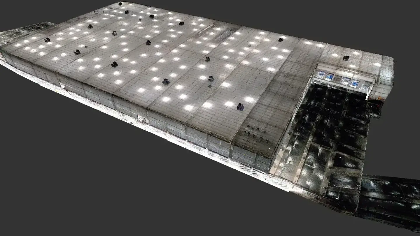
Landair Surveys worked with CDC Property Consultancy to conduct gross lettable area (GLA) surveys for an industrial portfolio of 30 assets across Vic, NSW, QLD and WA as part of due diligence for a potential multi-asset transaction.
Landair Surveys was engaged by heritage consultancy firm Lovell Chen to record existing conditions of building façades and roof profiles at the prestigious Melbourne Girls’ Grammar School.
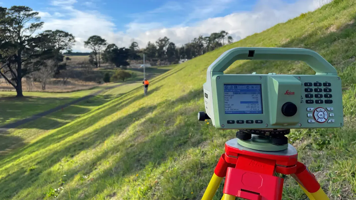
Landair Surveys are currently contracted by Coliban Water to undertake Dam Safety Structural Surveying with these works having been performed since 2017.
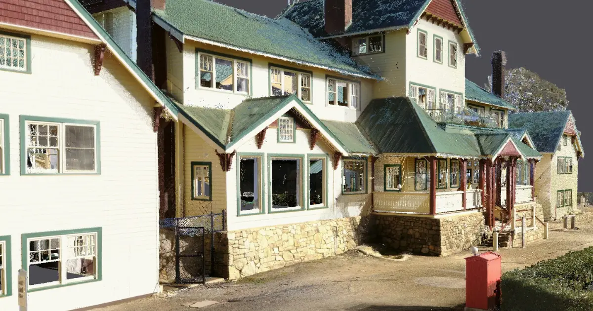
Landair Surveys was engaged by heritage architecture firm Conservation Studio to conduct a full existing-conditions survey of the Mt Buffalo Chalet, Victoria’s largest timber structure and Australia's first ski resort.
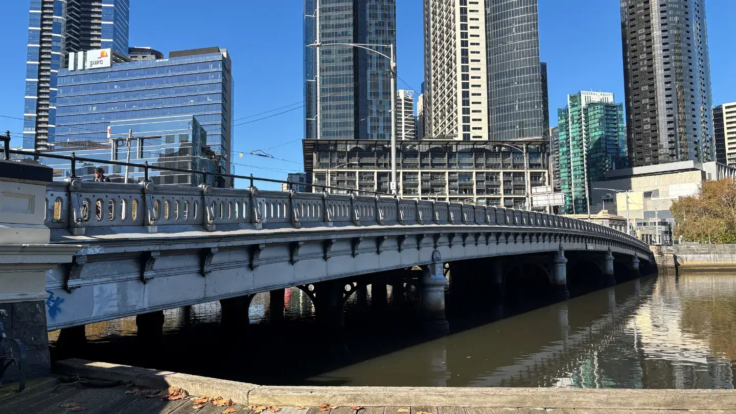
Landair Surveys was engaged by heritage architecture firm Conservation Studio to undertake a detailed existing conditions survey of Queens Bridge, a heritage-listed wrought-iron structure spanning Melbourne’s Yarra River.
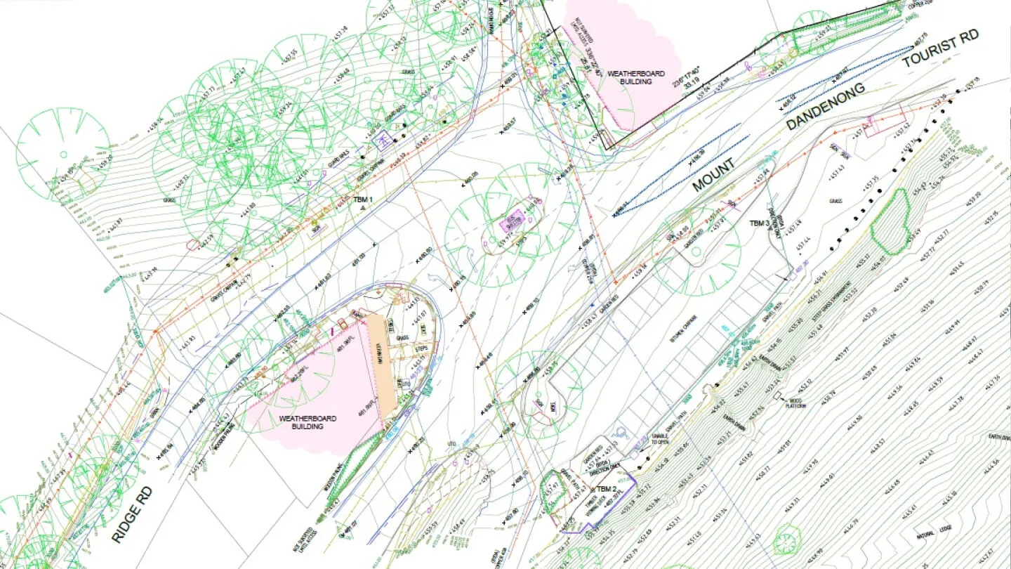
Since 2019, Landair Surveys has supported Yarra Ranges Council with feature and level surveys, title re-establishment and underground services surveys to assist in route analysis and trail design for the Ridgewalk Project.
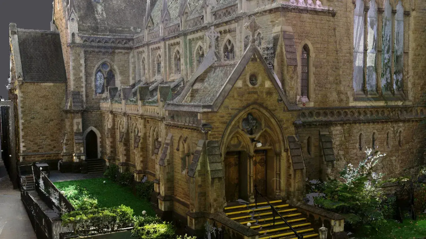
Landair Surveys was engaged by heritage architect Lovell Chen to produce existing conditions drawings of the façades and roof at Scots’ Church, one of Melbourne’s most iconic neo-Gothic landmarks.
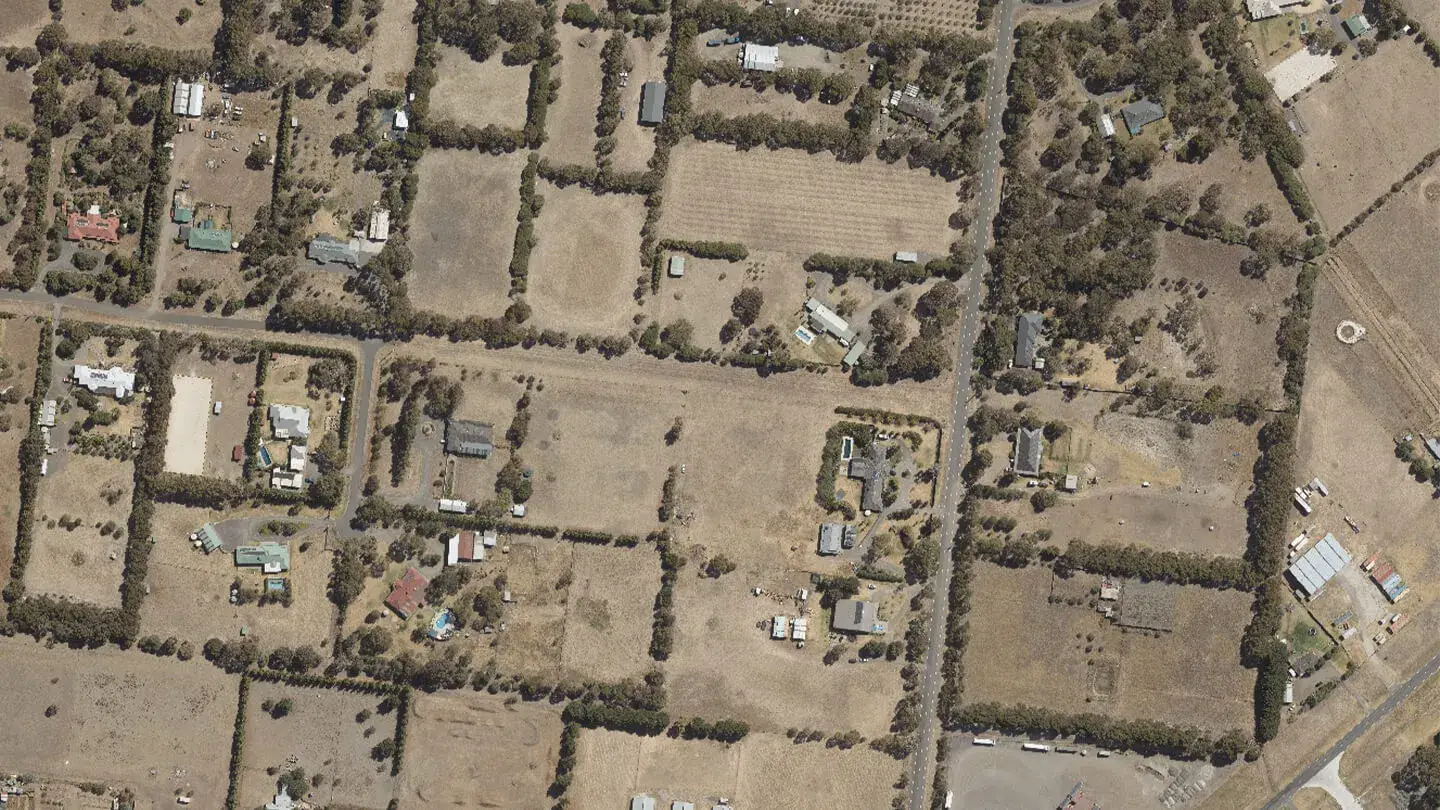
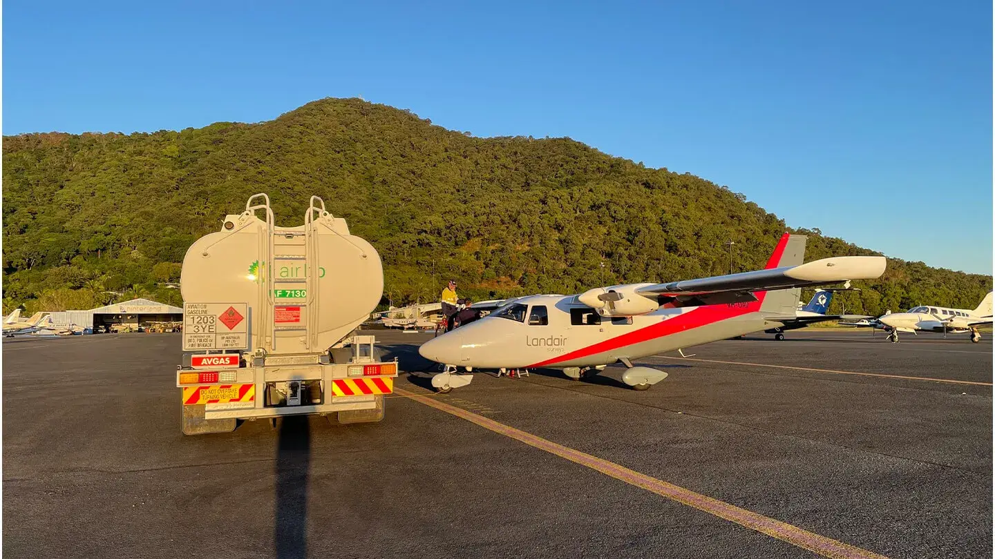
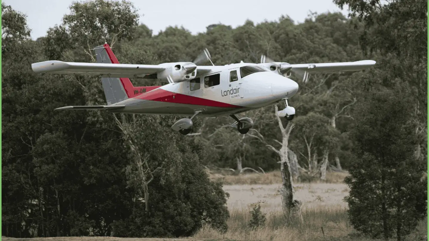
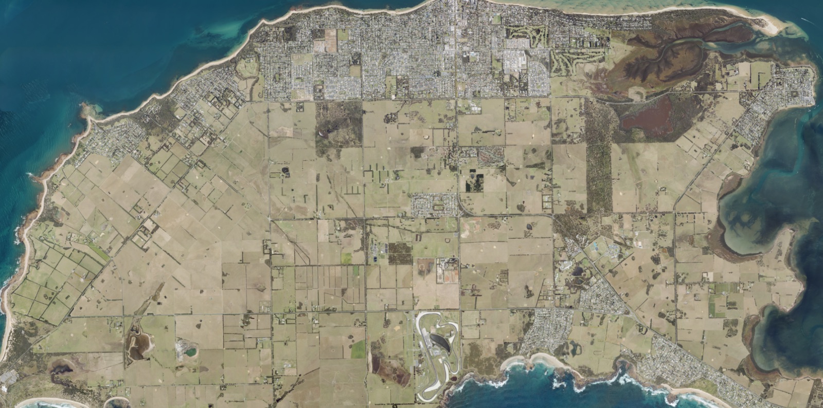
Landair Surveys supported the Victorian Department of Environment, Land, Water and Planning (DELWP) by capturing high resolution aerial imagery of planned burn sites across the Gippsland and Barwon South West regions.
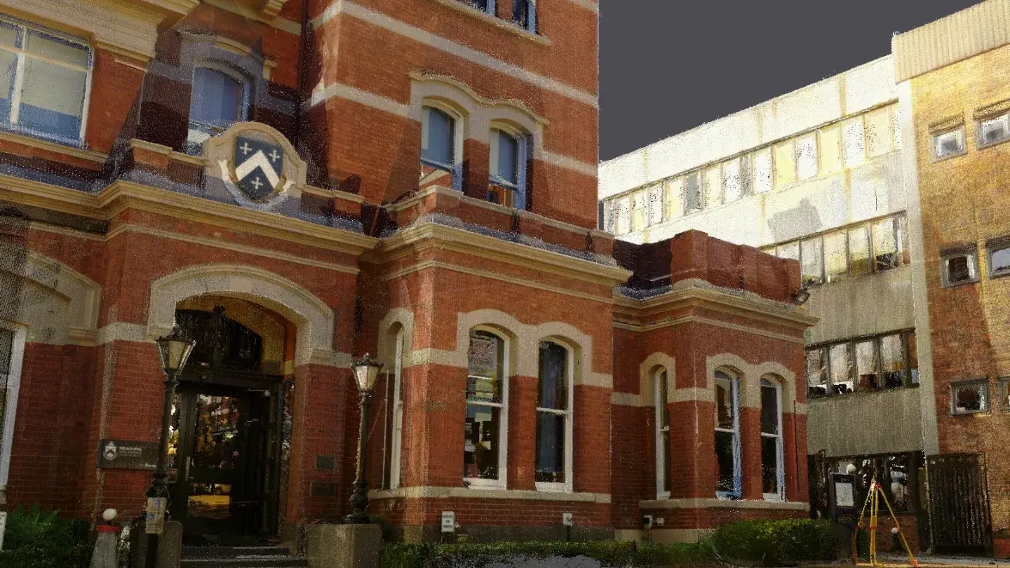
Landair Surveys has partnered with a range of architecture, conservation, and construction professionals to deliver more than a decade’s worth of surveying projects across the University of Melbourne’s metropolitan and regional campuses.
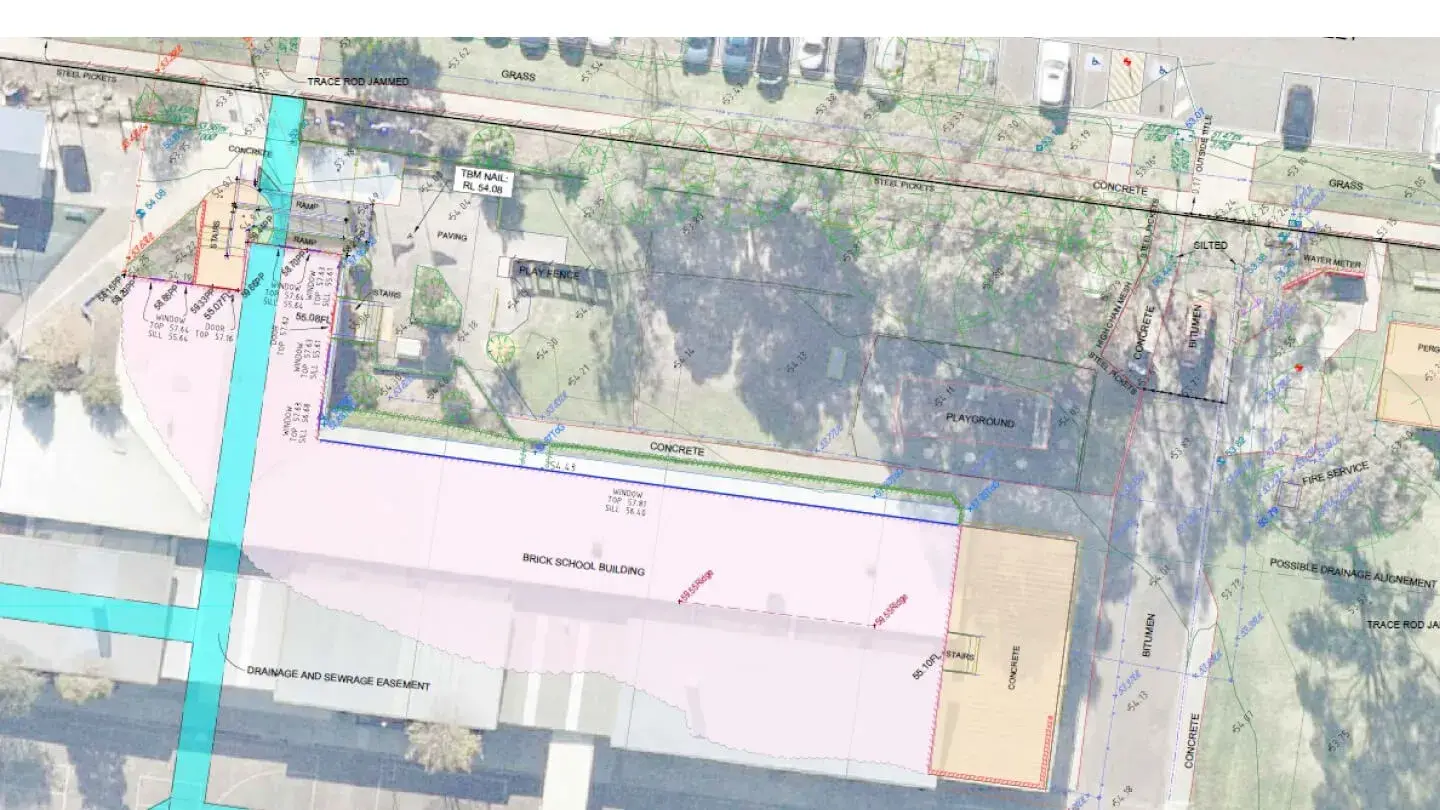
Since 2017, Landair Surveys has supported the Victorian School Building Authority (VSBA) to develop new government schools and upgrade existing infrastructure.
As part of Victoria’s Big Build, Landair Surveys supported the Department of Transport and Planning on the West Gate Tunnel Project, delivering over 1,400 hours of surveying services.