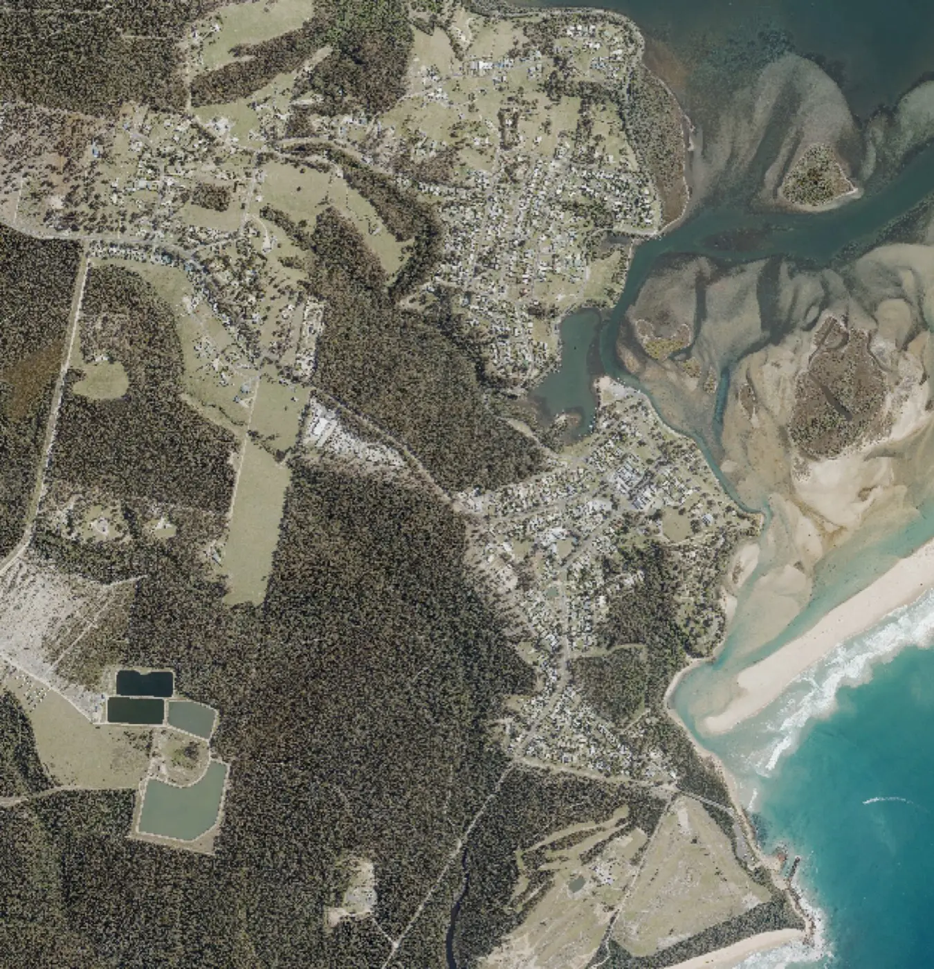
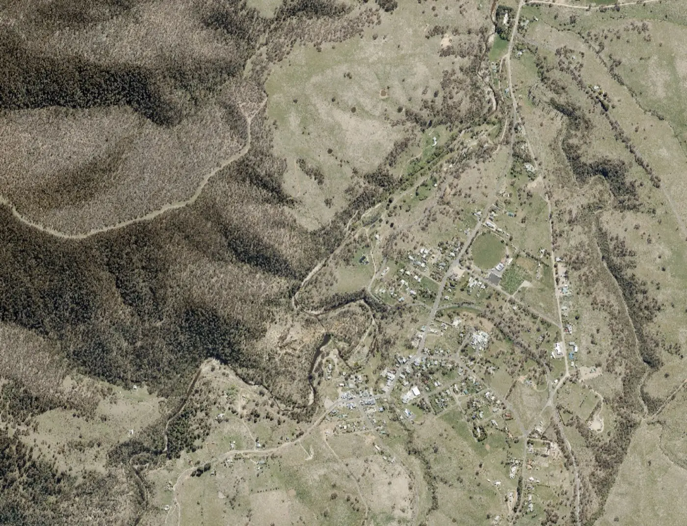
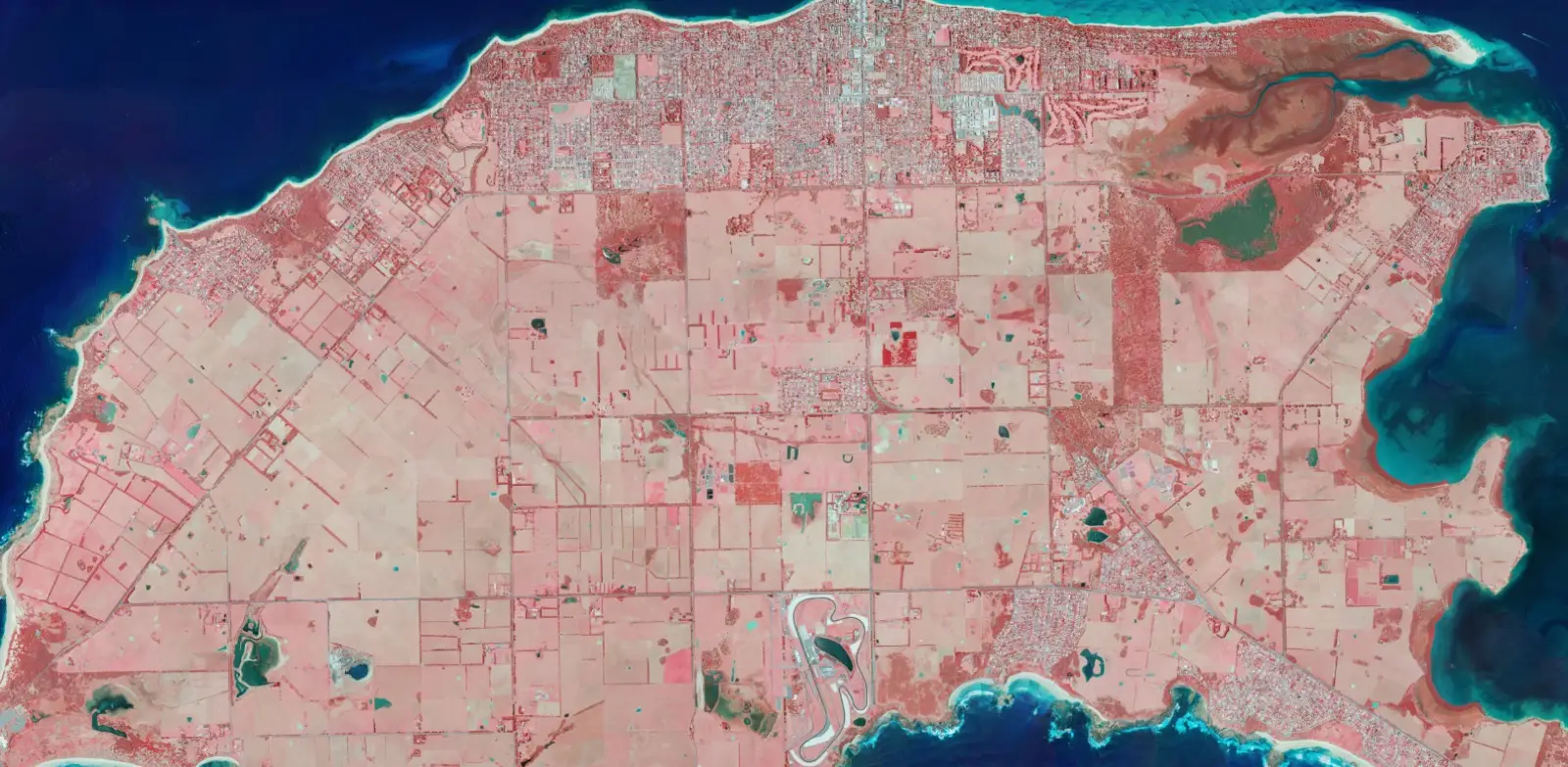
Landair Surveys captured high resolution aerial imagery of regional Victorian townships, including Mallacoota, Omeo and Phillip Island, for the Department of Transport and Planning. Using crewed aircraft fitted with a specialised airborne sensor system, our team produced detailed orthophoto mosaics of each township and its surrounds.
Deliverables included both natural colour (RGB) and colour infrared (CIR) imagery. CIR captures highlight vegetation and land cover, supporting analysis that standard photography cannot provide. Together these datasets give government planners a current, geographically accurate picture of each town to support planning, asset management and land administration across the state.