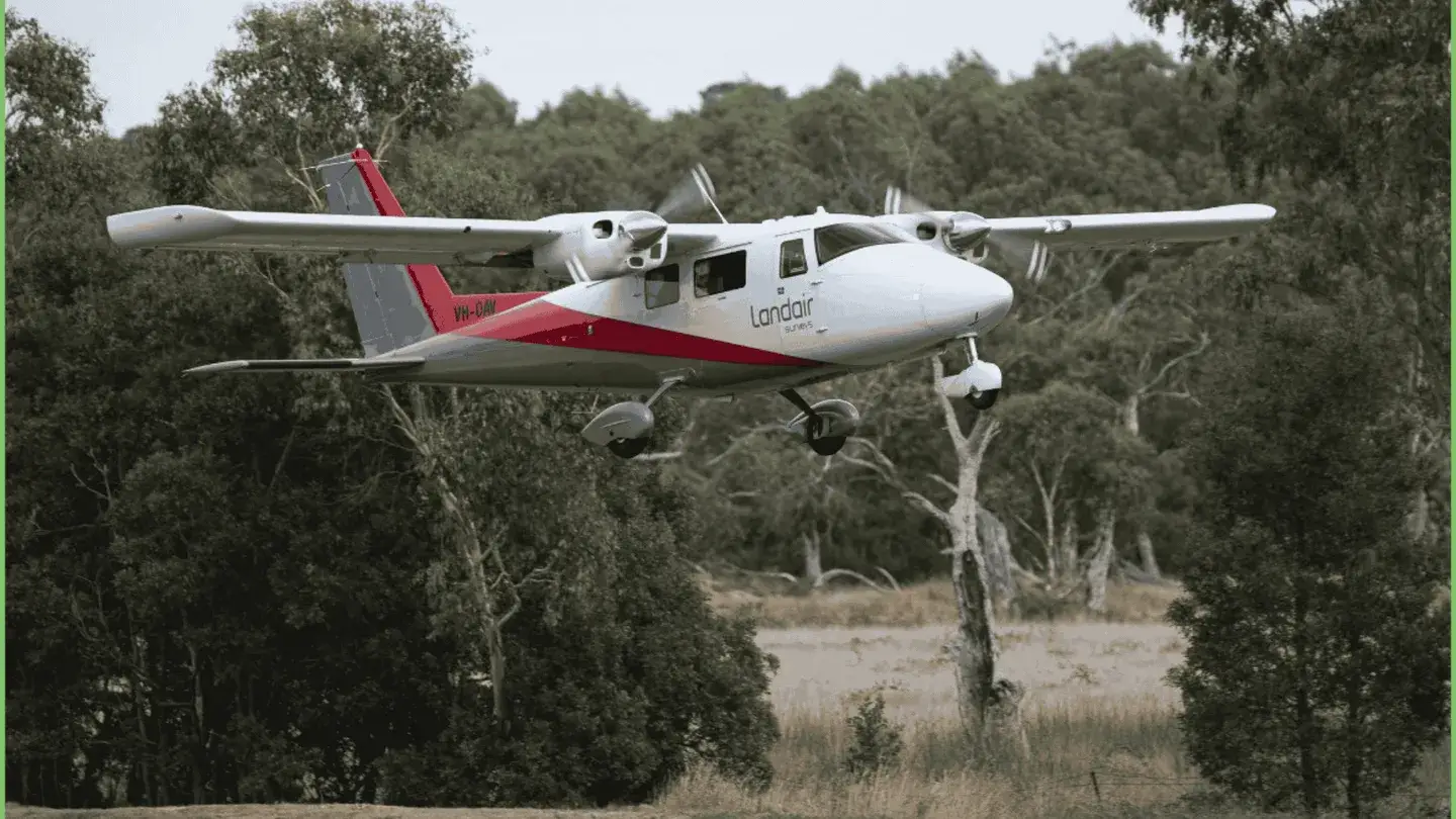
Landair Surveys captured over 2,000 square kilometres of high resolution aerial imagery across 40 Queensland towns and 8 central islands. Conducted for the Queensland Department of Resources, this aerial surveying project provides detailed orthophotos and ortho mosaics to support vital government functions, such as GIS inquiries, urban growth planning, asset management and by-law enforcement.
Overcoming logistical challenges, including weather variability and aircraft maintenance, our team delivered precise orthorectified aerial imagery. By eliminating distortions caused by sensors, perspective and terrain relief, we created geographically accurate maps to serve as essential tools for regional planning and infrastructure development across Australia.