Aerial Photogrammetry Surveying Services

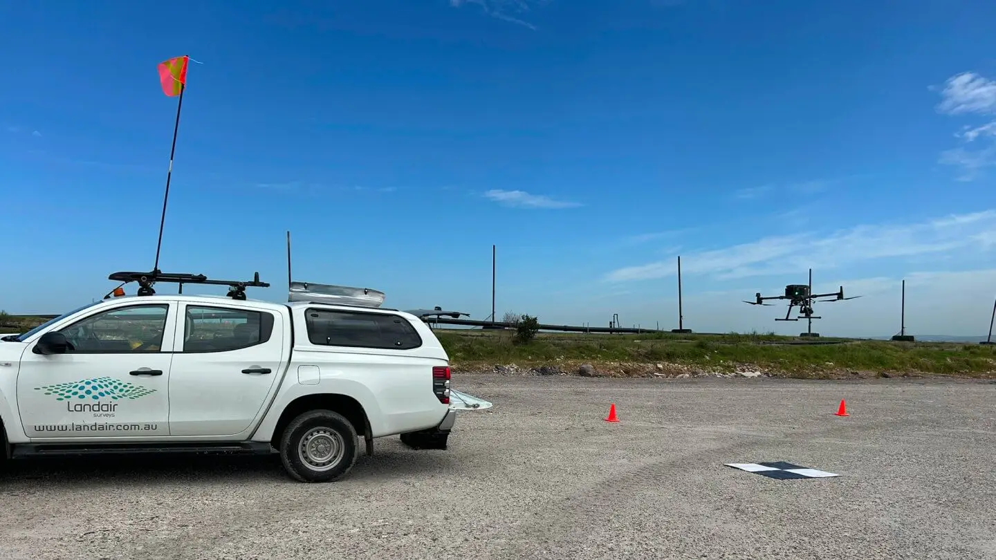
When you need accurate and usable data, but can’t afford weeks of boots-on-ground work, aerial photogrammetry surveying is the answer. By capturing a series of overlapping images, by drone or fixed-wing aircraft, we can:

• Rebuild your site in 3D,

• Measure it in detail, and

Why choose photogrammetry surveying?

Photogrammetry offers a flexible and cost-effective way to collect reliable site data. It’s especially useful in terrain that’s difficult to access or where a full picture from above is critical for decision-making.

When to choose an alternative

If you need millimetre precision or interior measurements, choose 3D laser scanning instead.

If your site has poor aerial visibility, LiDAR or ground-based surveys will achieve more reliable results.

Who needs photogrammetry surveys?

This geospatial data is built from visual imagery, combining the clarity of photography with real-world measurements. It’s particularly useful when you need wide-area context, visual records and quantifiable surfaces.

Surveying for Property Consultants

Property consultants and developers

✔ Visual site overlays and terrain models

→ Inform site planning and overlay title boundaries

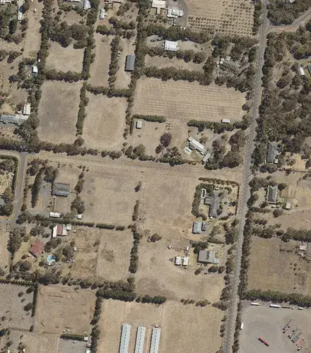
Aerial Imagery

Government and planning authorities

✔ Urban growth mapping, monitoring and compliance

→ Generate accurate, up-to-date spatial intelligence.

Landfill stockpiles

Landfill managers and operators

✔ Surface change, stockpile volumes and 3D reports

→ Support life-of-landfill planning and safe operations

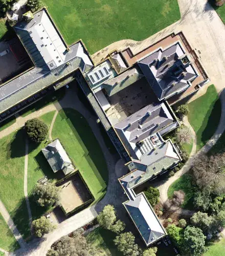
Surveying for Architects

Architects and heritage specialists

✔ Façade mapping and rooftop models

→ Document hard-to-measure details and structural geometry

What do you get from photogrammetry surveys?

Deliverables from Landair Surveys are tailored to your project, with formats ready to plug into your workflow:

High-resolution orthomosaics

A seamless, top-down image of your site with all distortions corrected.

Ideal for overlaying infrastructure plans, inspecting site conditions or reporting progress visually.

Digital Surface Models and Digital Terrain Models

DSMs show the elevation of everything on the surface. DTMs show the bare earth surface.

Useful for visualisation, terrain understanding and volume estimates.

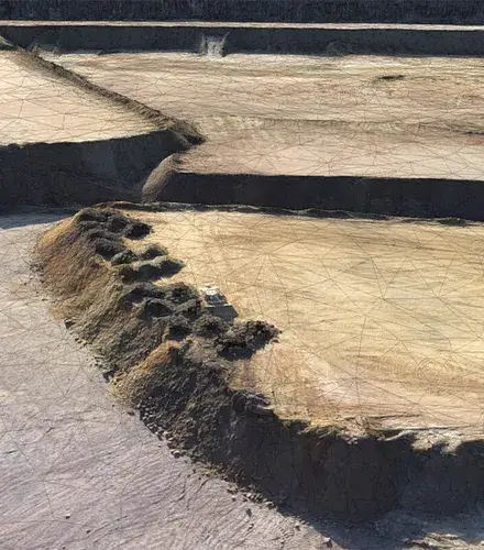
Textured 3D meshes

Photorealistic 3D models of the site that you can navigate and inspect.

Helpful for stakeholder presentations, design context and visual simulations.

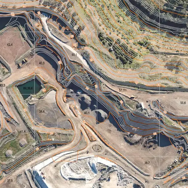
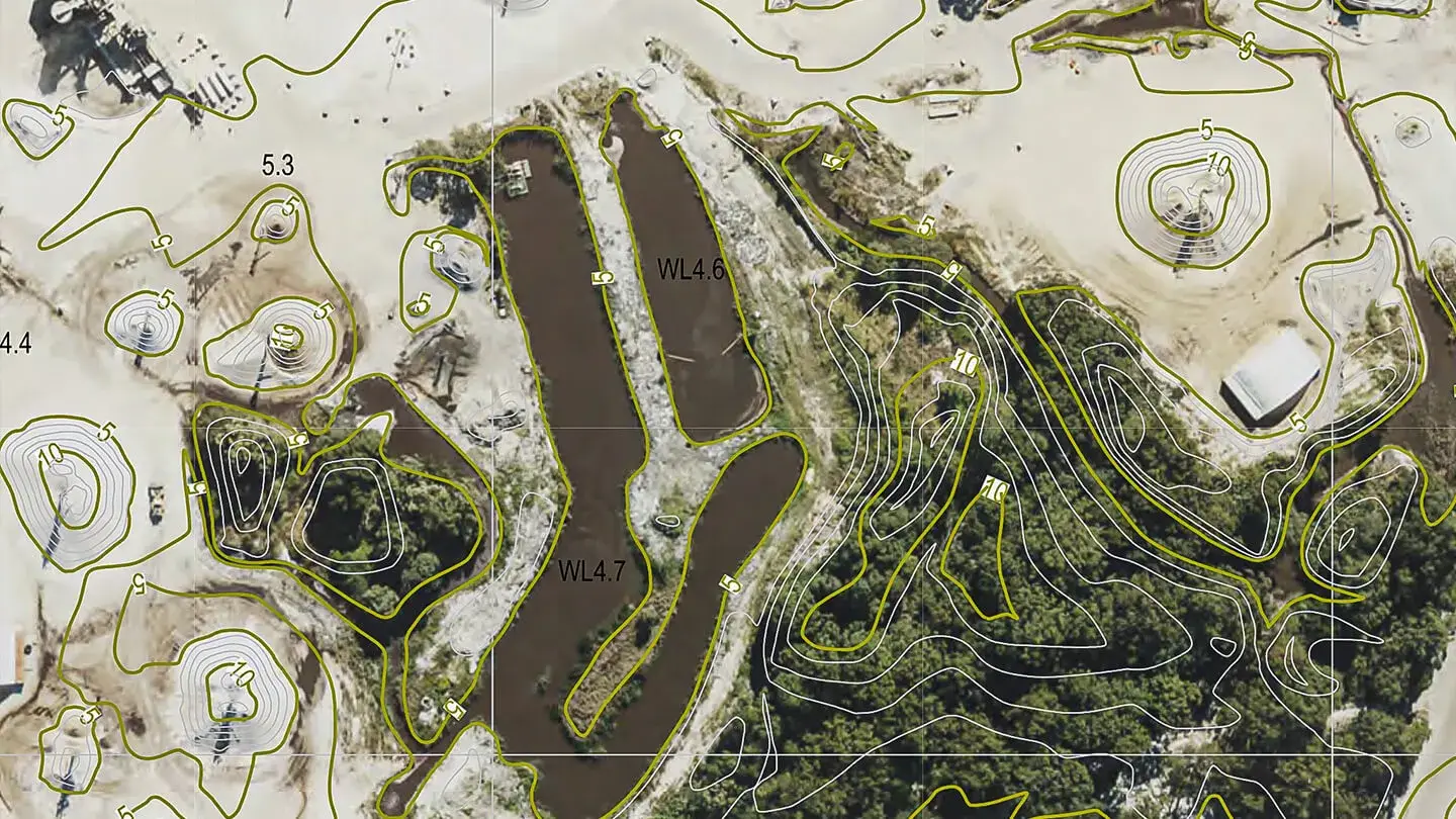
Contours and elevation maps

Generated from the surface model, these show changes in terrain.

Useful for planning, drainage analysis and identifying slope constraints.

Cut/fill and volume analysis

Accurate calculations of material moved or remaining.

Particularly helpful for earthworks, landfill tracking and quarry management.

Georeferenced site overlays

We match your imagery and models to spatial coordinates using GNSS and ground control point.

Ensures everything aligns with your existing survey data or GIS layers.

Explore our projects

Lucas Heights

Lucas Heights Landfill

Landair Surveys provides regular drone flyovers at Lucas Heights Landfill to monitor waste movement and airspace consumption.

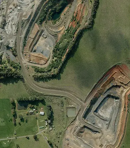
Quarry Mapping for Barro Group

Quarry Mapping for Barro Group

Landair Surveys conducted 3D photogrammetric mapping across 12 quarries across Victoria for the Barro Group

Photogrammetry FAQs

Photogrammetry suits wide-area sites and terrain that is difficult or unsafe to reach on foot, capturing large areas quickly from the air. Choose 3D laser scanning instead when you need millimetre precision or interior measurements. Where a site has poor aerial visibility, LiDAR or ground-based surveys will give more reliable results.

Yes. As well as flying photogrammetry surveys with our own accredited drone pilots, Landair processes client-collected imagery through its drone data processing service, turning your data into orthomosaics, surface models and volume reports with proper quality checks.

Yes. Landair works from offices in Melbourne and Sydney and delivers surveying across the east coast of Australia, with rapid deployment of field teams to meet tight project timelines.

Every project runs under Landair’s ISO 9001 certified quality management system, independently audited each year by the BSI Group. Models are georeferenced to survey control using GNSS and ground control points, so deliverables align with your existing survey data or GIS.

Let’s get started.