
Landair Surveys supported the Victorian Department of Environment, Land, Water and Planning (DELWP) by capturing high resolution aerial imagery of planned burn sites across the Gippsland and Barwon South West regions. This aerial surveying work plays a vital role in assessing fire severity and mapping burn extent, helping reduce bushfire risk through targeted fuel-load reduction under the Planned Burns Program.
The project required precise coordination, as burn sites became ready for capture at different times. Imagery had to be acquired within four weeks of readiness and delivered within three weeks of capture. Working across remote and mountainous areas, we relied on advanced weather forecasting and flexible operations to ensure timely and high-quality aerial imagery.
Aerial photography (at 20 cm Ground Sample Distance or better) using crewed aircraft and specialised airborne sensor system
Crewed aircraft equipped with specialised airborne sensor systems
High-volume image capture and geospatial processing in compliance with government standards
Integration-ready datasets for aerial imagery Australia projects and fire mapping platforms
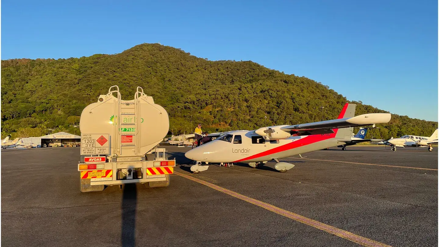
Landair Surveys captured over 2,000 square kilometres of high resolution aerial imagery across 40 Queensland towns and 8 central islands.