
All photographs have distortions in them. Orthorectification is the process of removing the effects of image distortion induced by the sensor (camera), viewing perspective, and relief (ground surface) to create an image that is planimetrically correct. The resulting orthorectified photograph, or orthophoto has a constant scale meaning that features are represented in their true positions in relation to their ground position.
An orthomosaic is a detailed, accurate photo representation of an area, created out of many photos that have been stitched together and orthorectified.
At Landair Surveys we create orthophotos for small sites such as development sites, quarries, mines, landfills as well as entire towns and water catchment areas.
We can also overlay other data onto orthophotos such as contours, geographic information, traffic management information, underground and overhead services and title boundaries.
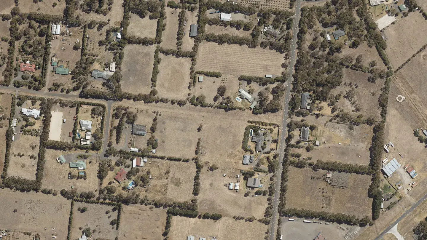
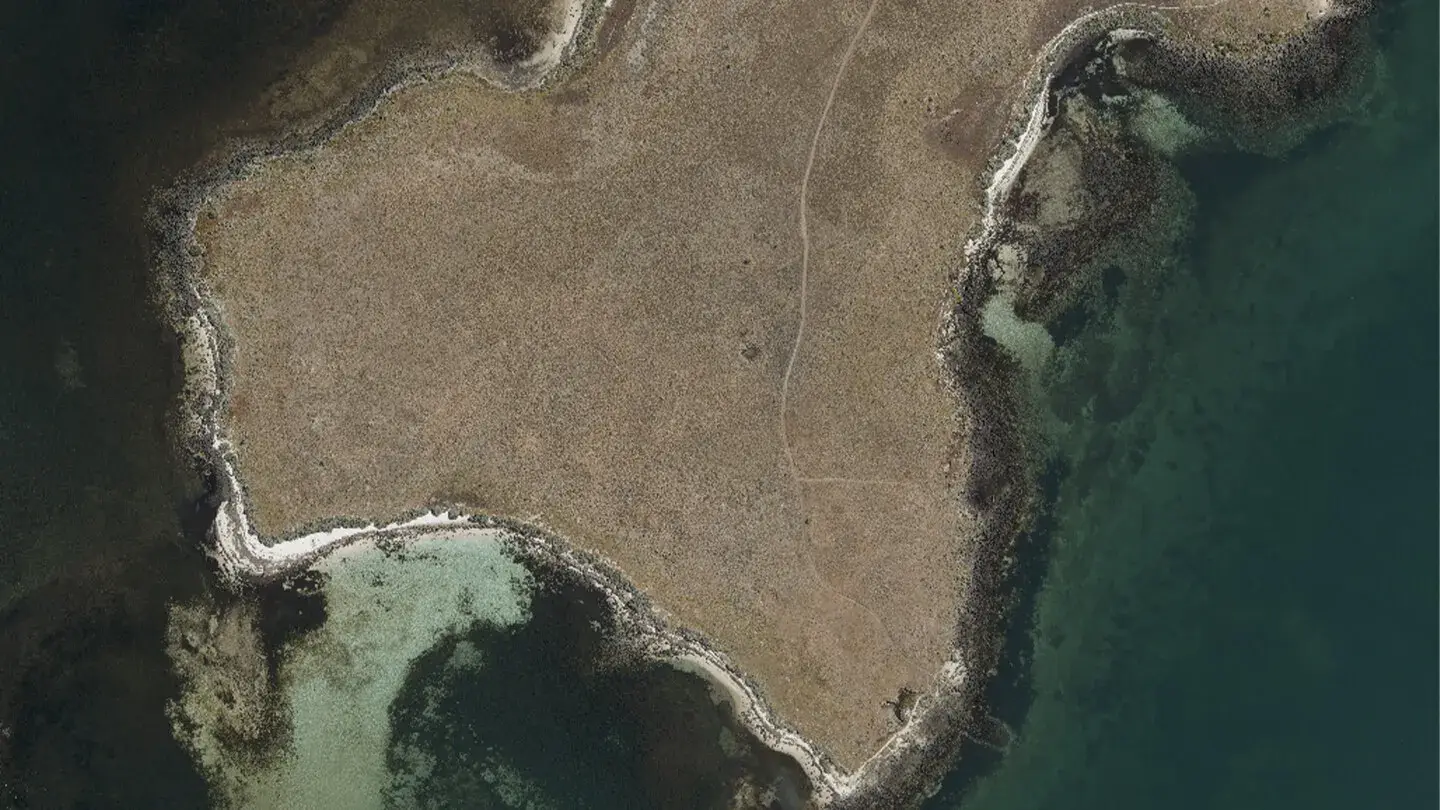
An orthophoto (orthorectified photograph, orthophotograph or orthoimage) is an aerial image that can be treated like a map which means that coordinates, areas, distances and angles may be measured directly from the orthophoto.
Orthophotos are commonly used as background layers in CAD packages and in Geographic Information Systems (GIS) as a “map accurate” background image.
An orthophoto is an aerial photograph that has had all distortions removed, so distances and angles can be measured directly from the photo. Orthorectification strips out the distortion introduced by the camera sensor, the viewing perspective and the relief of the ground surface, producing a planimetrically correct image with a constant scale. The result is a photo you can treat like a map.
Regional mapping, urban growth planning, asset management, by-law enforcement and GIS enquiries. For the Queensland Department of Resources, Landair delivered orthophotos and orthomosaics covering over 2,000 square kilometres across 40 towns and 8 islands.
Title boundaries overlaid on a map-accurate image show clearly how buildings and site features sit against the legal boundary, in the CAD and GIS environments property teams already use.
Orthophotos of development sites, quarries, mines and landfills, with repeat capture flights available to track land use and project progress over time.
Multi-band orthomosaics combine RGB and near-infrared imagery for vegetation health monitoring, post-burn mapping and entire water catchment areas.
Landair Surveys, with a history stretching back to 1974, captures orthophoto imagery from two platforms: crewed survey aircraft for very large areas, and drones flown by our own CASA certified pilots for detailed, localised mapping.
If you capture your own drone imagery, our drone data processing service can turn it into an ortho-photograph and other survey deliverables.
All photographs contain distortion from the camera sensor, the viewing perspective and the ground relief, so an ordinary aerial photo cannot be measured from reliably. An orthophoto has had these distortions removed, giving it a constant scale so it can be treated like a map.
An orthophoto is a single orthorectified image. An orthomosaic covers a larger area, created from many photos stitched together and orthorectified as one accurate image.
Yes. Coordinates, areas, distances and angles can all be measured directly from an orthophoto, which is why they are used as map-accurate background layers in CAD and GIS.
Yes. As well as flying surveys with our own CASA certified drone pilots, Landair processes client-collected drone data. Upload your imagery to our secure site and we process it into an ortho-photograph and other deliverables, with proper quality assurance checks.