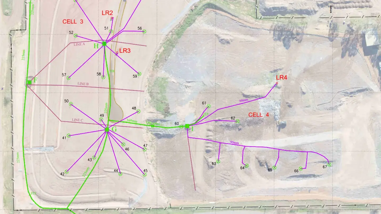
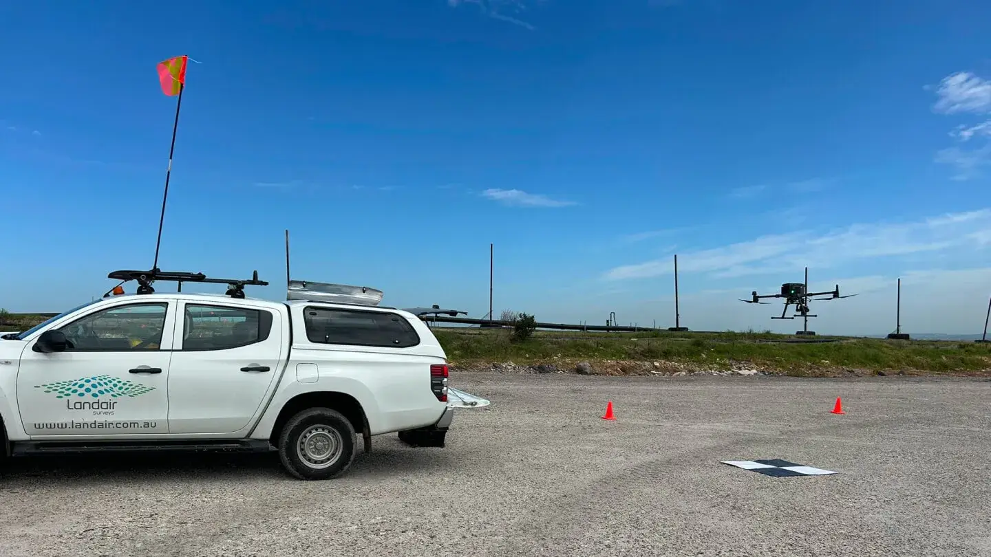
Landair Surveys has provided ongoing support for Sunshine Landfill operations through monthly ground surveys and half-yearly whole-site flyovers. These surveys ensure compliance, optimise waste management and support site expansion planning.
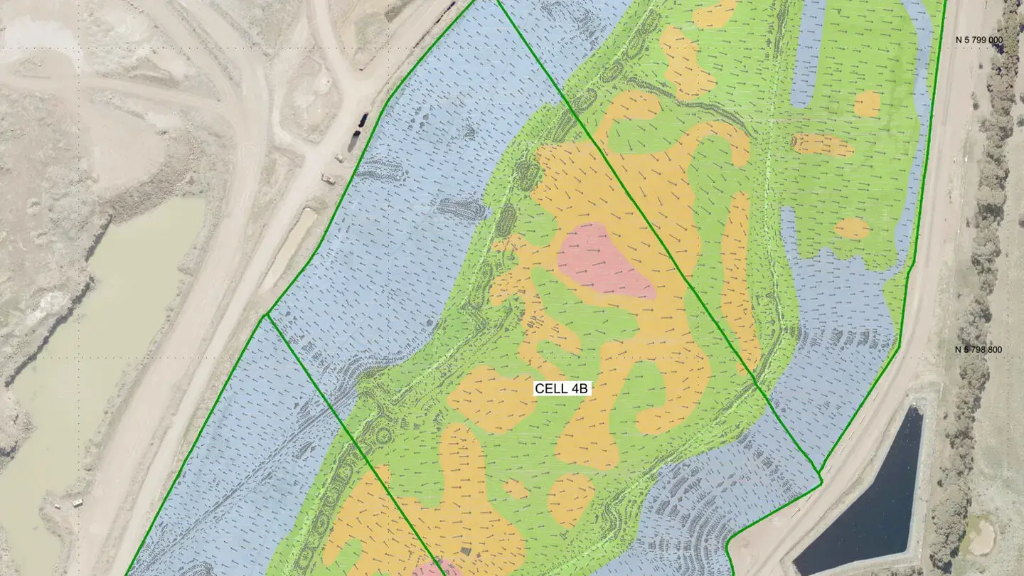
Key challenges addressed include constructing sideliner clay barriers against uneven rock walls and maximising practical waste capacity. Using 3D laser scanning, Landair created precise virtual models of irregular rock faces to guide clay thickness and runoff grading for auditor approval and compliance. Additionally, proposed design surfaces helped relocate haul roads, significantly increasing usable airspace and delaying the need for new cell construction. These innovative solutions showcase Landair’s expertise in solving complex landfill challenges.