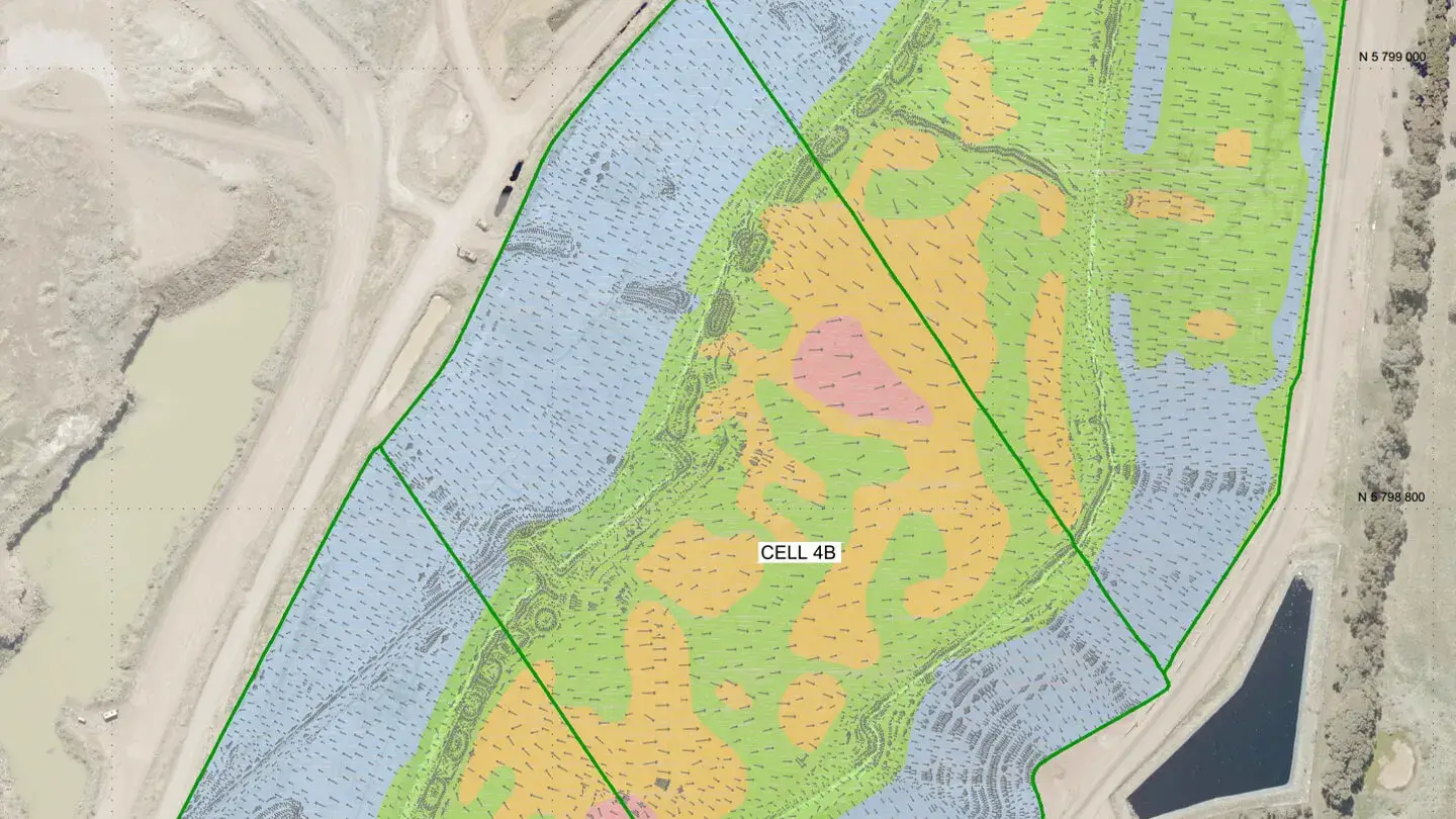
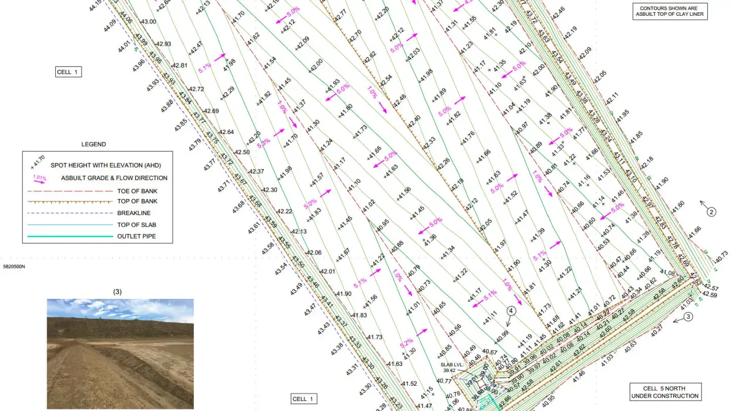
Landair Surveys has played a key role in managing and aligning historical data for Cosgrove’s three landfill sites, creating a comprehensive spatial data file to serve as a single point of reference. Over three months, hundreds of files, maps and hard copy plans from multiple coordinate systems were integrated into a unified point-of-reference CAD file. This consolidated archive continues to support Council with accurate historical insights.
For sites two and three, Landair developed a dynamic life-of-landfill model, combining historical surveys, cell-specific designs and airspace projections. This model enables operators to predict site capacity timelines, plan future cell construction and calculate capping material volumes for long-term efficiency and proactive site management.