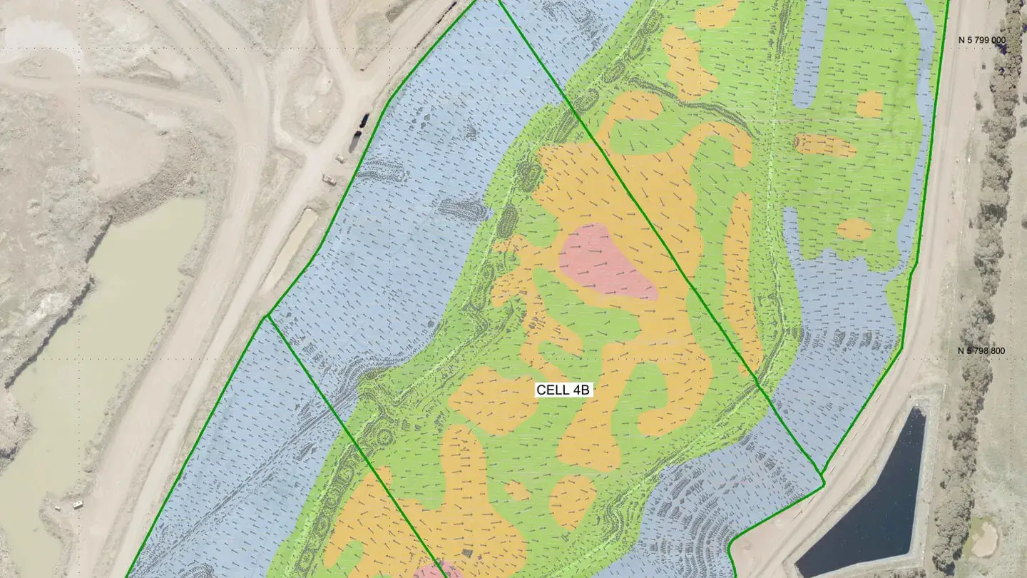
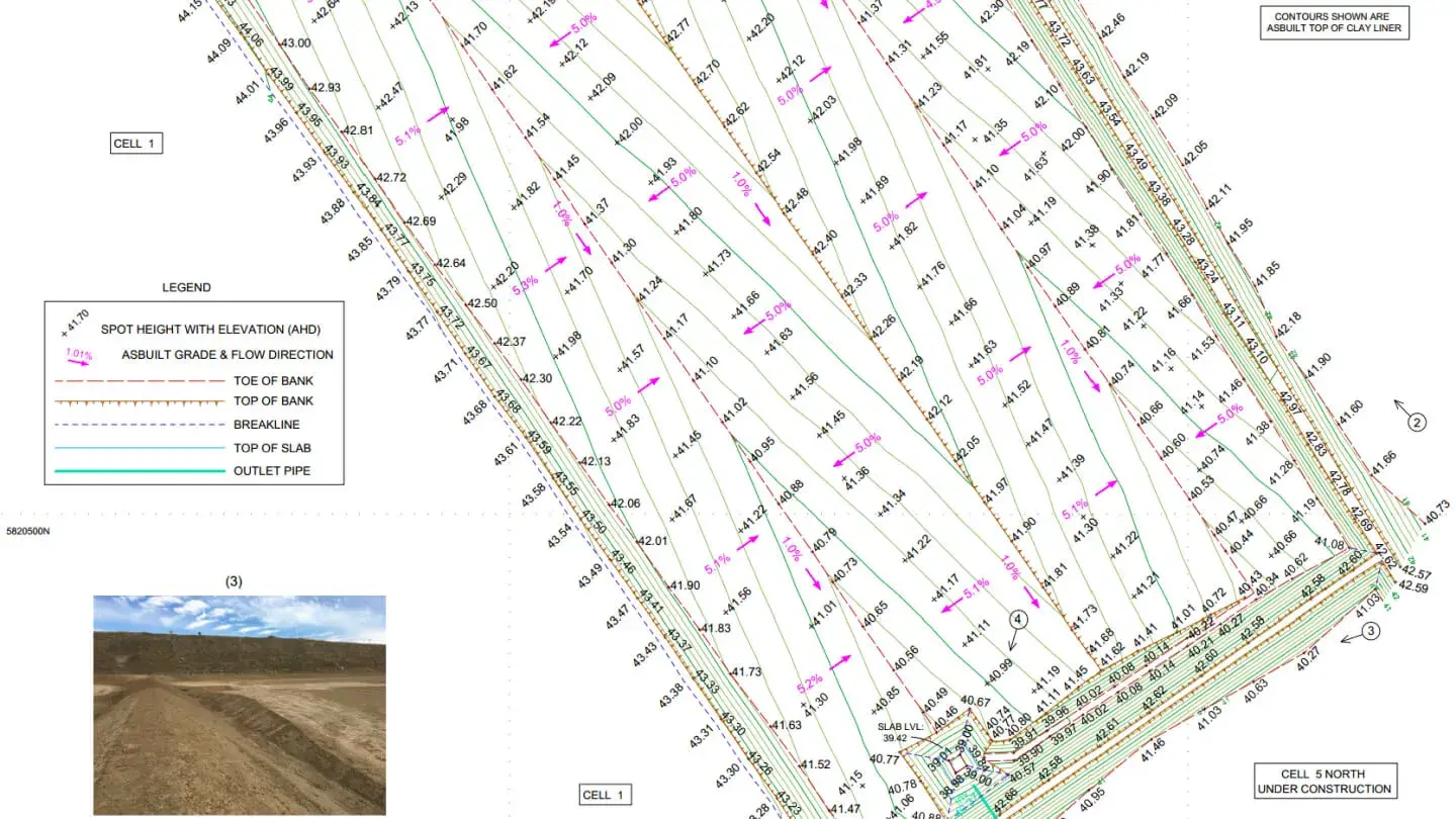
Landair Surveys provides regular drone flyovers at Lucas Heights Landfill to monitor waste movement and airspace consumption. These monthly surveys ensure precise tracking of site capacity and operational efficiency.
When the client required a survey of a public road adjacent to the landfill for preliminary design works, Landair used drone-mounted LiDAR technology to avoid costly traffic control measures. By planning flight paths outside the road reserve and securing approval to operate in controlled airspace from a neighbouring army base, Landair successfully captured high-resolution data while minimising disruption. The resulting point cloud was validated against ground control points, enabling the creation of an accurate 3D surface file of the road and surrounding topography.

Volumetric surveys
LiDAR-equipped drone surveys
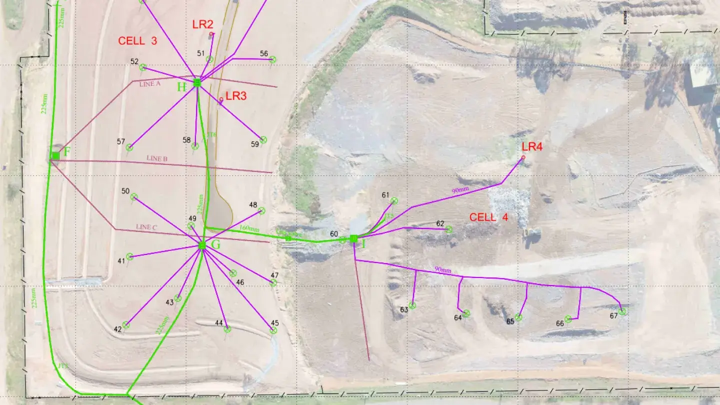
Landair Surveys has played a key role in managing and aligning historical data for Cosgrove’s three landfill sites, creating a comprehensive spatial data file to serve as a single point of reference.
Landair Surveys has supported Werribee Landfill operations for over 25 years, addressing complex challenges with innovative solutions.
Landair Surveys has provided ongoing support for Sunshine Landfill operations through monthly ground surveys and half-yearly whole-site flyovers.