
Landair Surveys is a reseller of the aerial imagery and elevation products managed by the Victorian Department of Transport and Planning. Order historical and current imagery, LiDAR point clouds and digital elevation models covering much of Victoria, delivered ready to use, and usually within three business days.
As a Vicmap data reseller, Landair supplies the same statewide aerial imagery and elevation datasets captured for the State of Victoria, without you having to navigate government ordering yourself. Tell us the area you need and we handle the request, the tiling and the format, so the data arrives ready to drop straight into your CAD, GIS or design software.
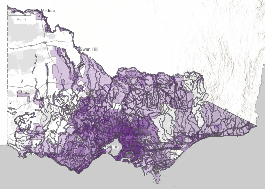
Bare-earth 1m Digital Elevation Models (DEM) supplied as GeoTIFF, or LAZ files containing the raw LiDAR points. Selected areas also include a 1m Digital Surface Model (DSM) that captures the top of buildings, structures and vegetation.
Available for much of Victoria, with LiDAR captured from 2004 to the present.
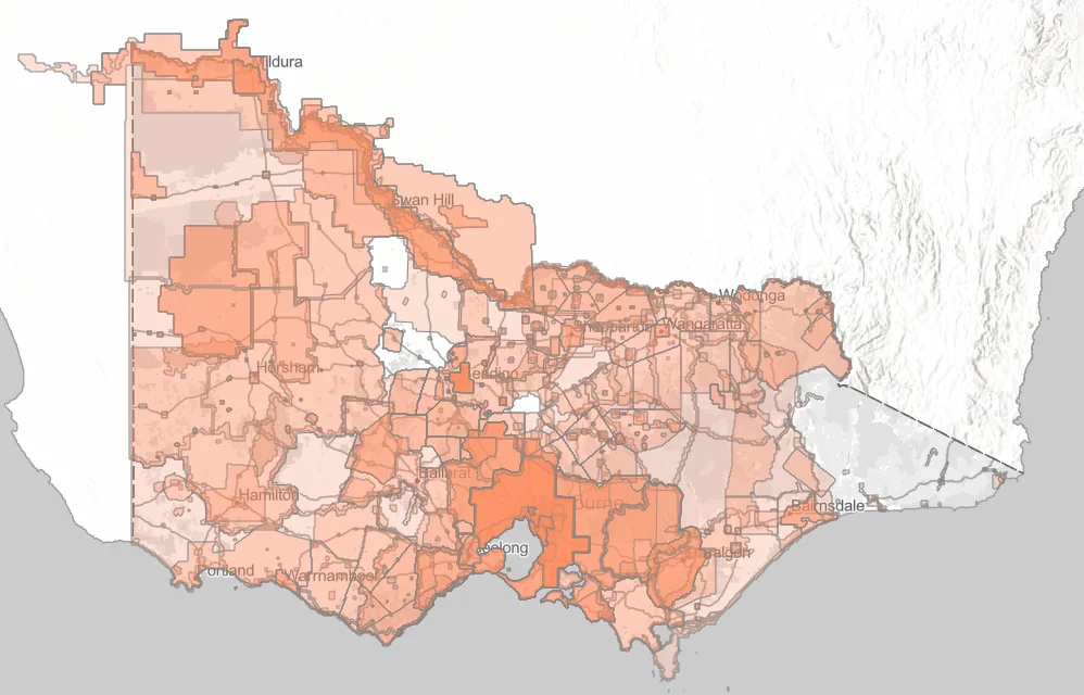
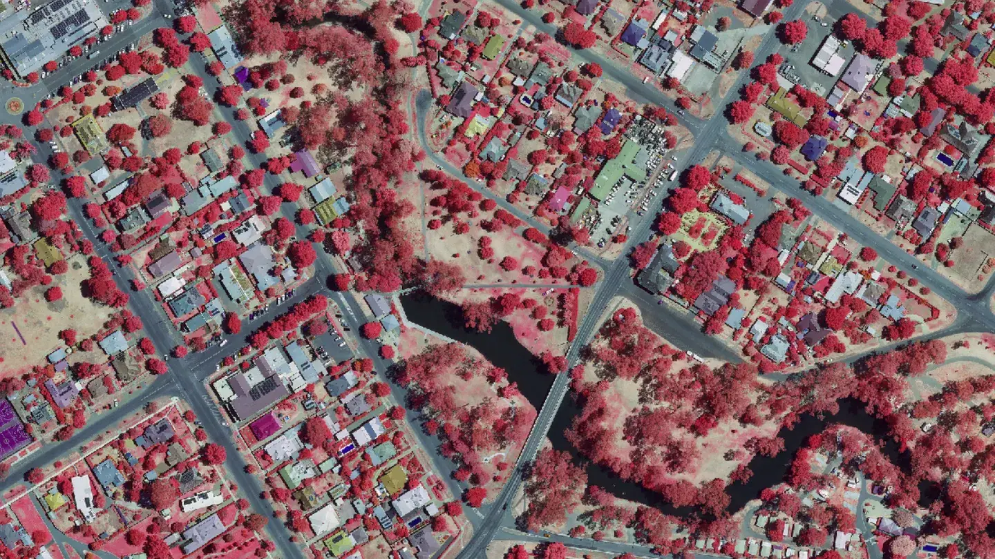
Aerial imagery covering much of the state, supplied in ECW format. Captures are available from 2004 to now, so you can review a site across two decades of imagery.
Suited to base mapping, site context, change detection and visual reference.
Data is supplied as 1km tiles on an even kilometre grid, so you order only the coverage your project needs.
Every tile is provided in the MGA2020 datum, ready to line up with your existing survey and design data.
Orders are generally available within three business days of request, so your project keeps moving.
Vicmap is the State of Victoria’s spatial data, managed by the Department of Transport and Planning. It includes aerial imagery and elevation products, such as LiDAR point clouds, digital elevation models and digital surface models, captured across much of the state. As a reseller, Landair supplies this data to you directly.
Elevation data is available as bare-earth 1m Digital Elevation Models (DEM) in GeoTIFF format, or as LAZ files containing the LiDAR points. Some datasets also include a 1m Digital Surface Model (DSM) showing the top of above-ground structures and vegetation. Aerial imagery is supplied in ECW format. Data is available from 2004 to the present.
Data is sold as 1km tiles based on an even kilometre grid in the MGA2020 datum, so you only pay for the coverage your project needs. Send us your area of interest and we’ll provide a quote.
Orders are generally available within three business days of request.
Aerial imagery and elevation data are available for much of the state of Victoria, with imagery and LiDAR captured from 2004 to now. Send through your area of interest and we’ll confirm what’s available.