Surveying Services for Engineering and Construction
Landair Surveys supports civil engineering and construction projects from Sydney to Melbourne with accurate engineering surveying. Our expert engineering surveyors assist with design validation, set-out, and as-built surveys, ensuring alignment, compliance, and on-time delivery across the project lifecycle. We are trusted for reliable engineering and surveying solutions that drive successful builds.
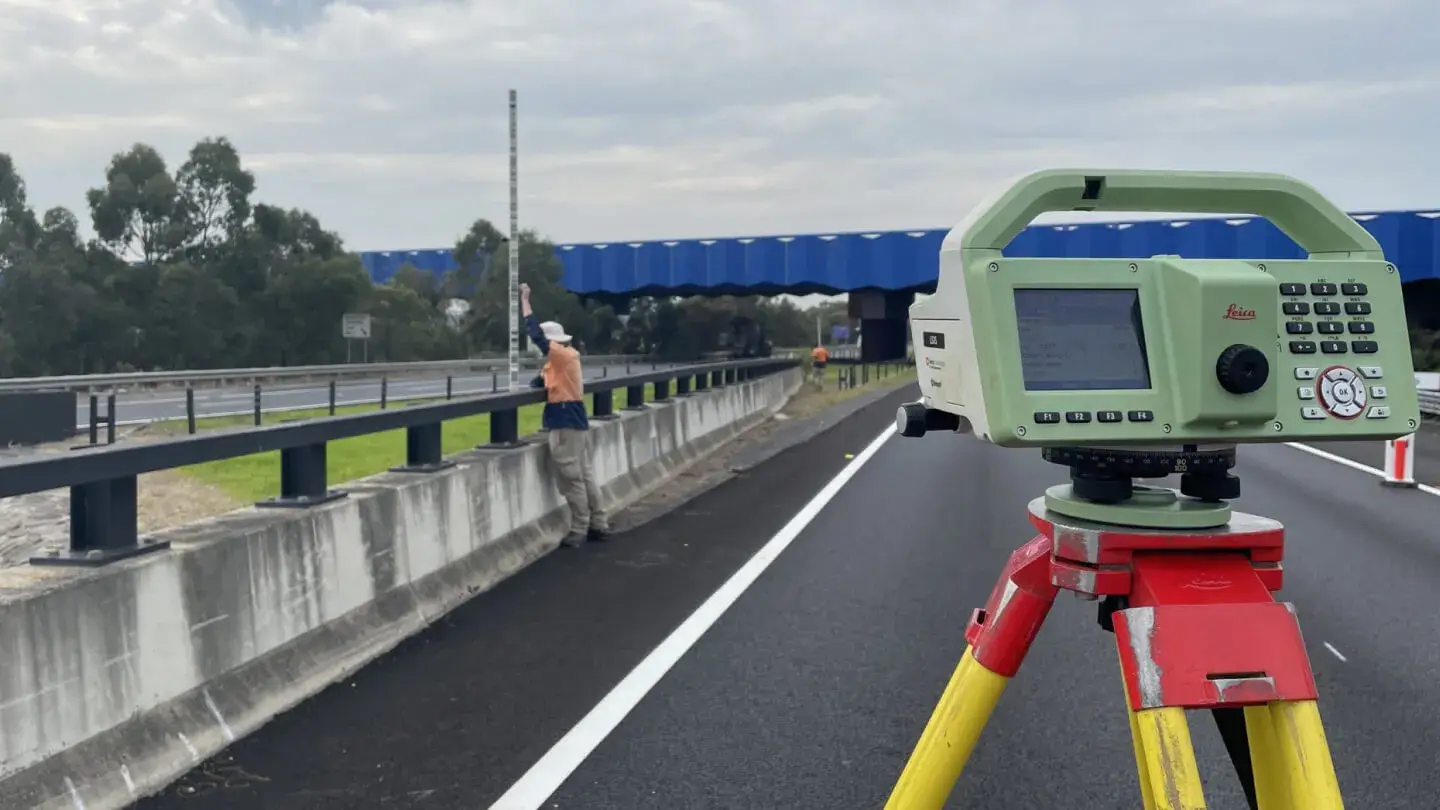
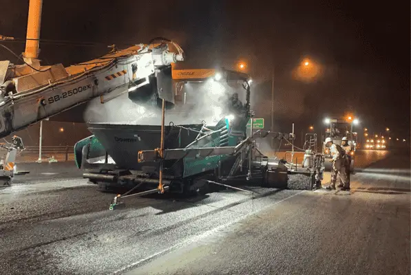
Landair Surveys supported ConnectEast and Downer Group in the resurfacing of Eastlink, contributing over 2,500 surveying hours across three consecutive summers.
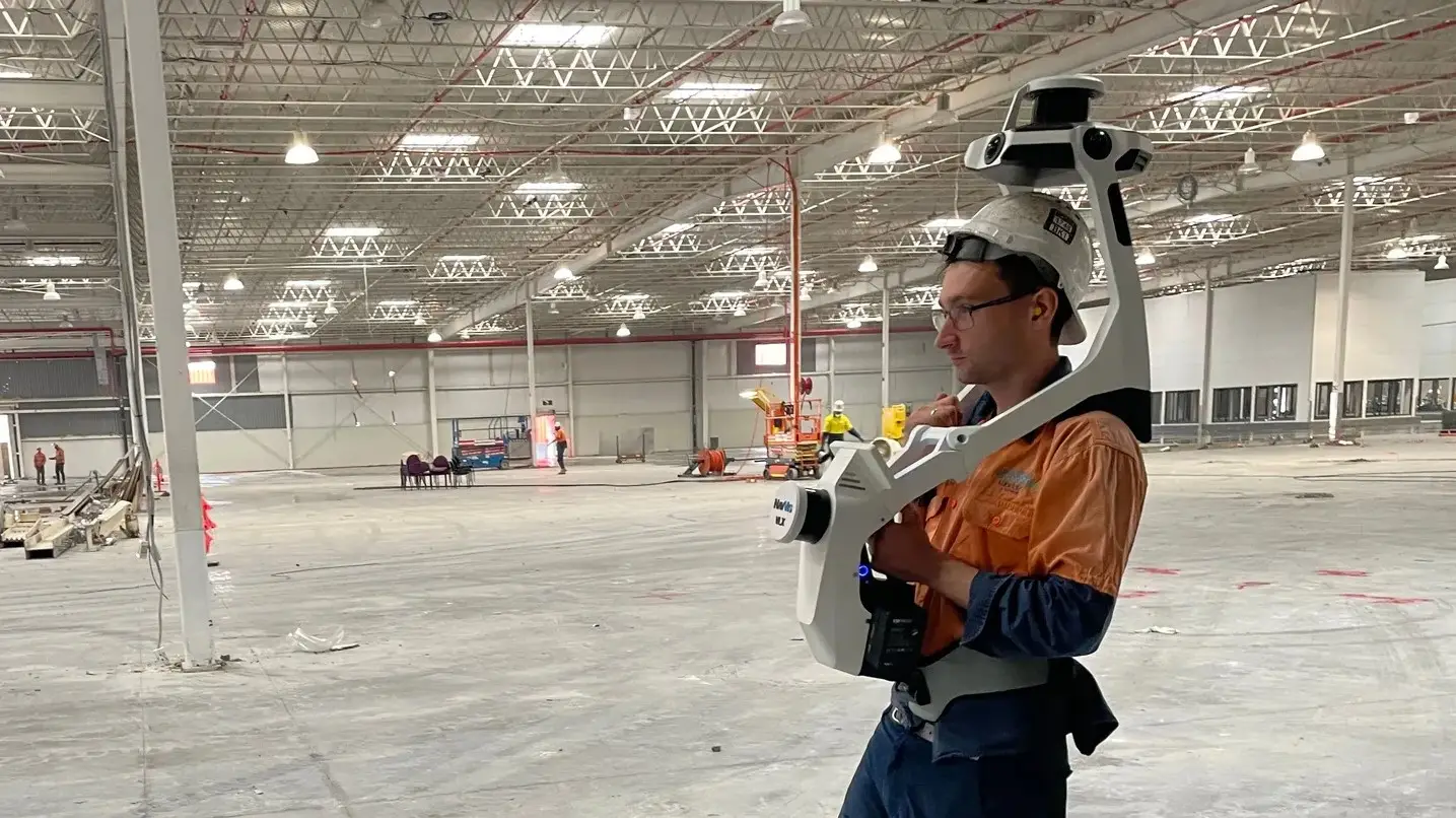
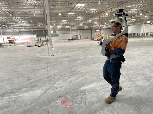
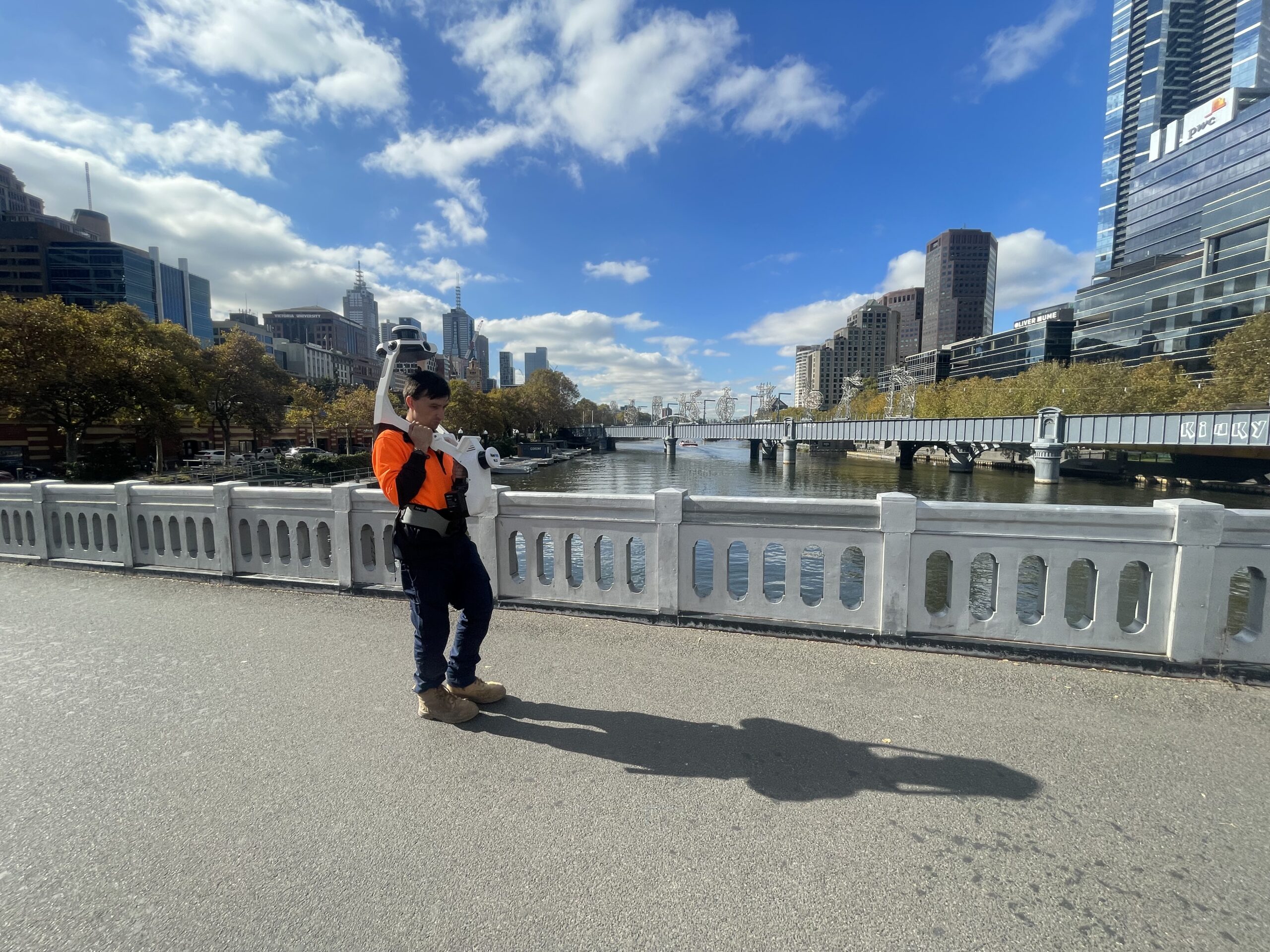
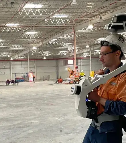
VLX3 mobile scanning system for smart mapping anywhere
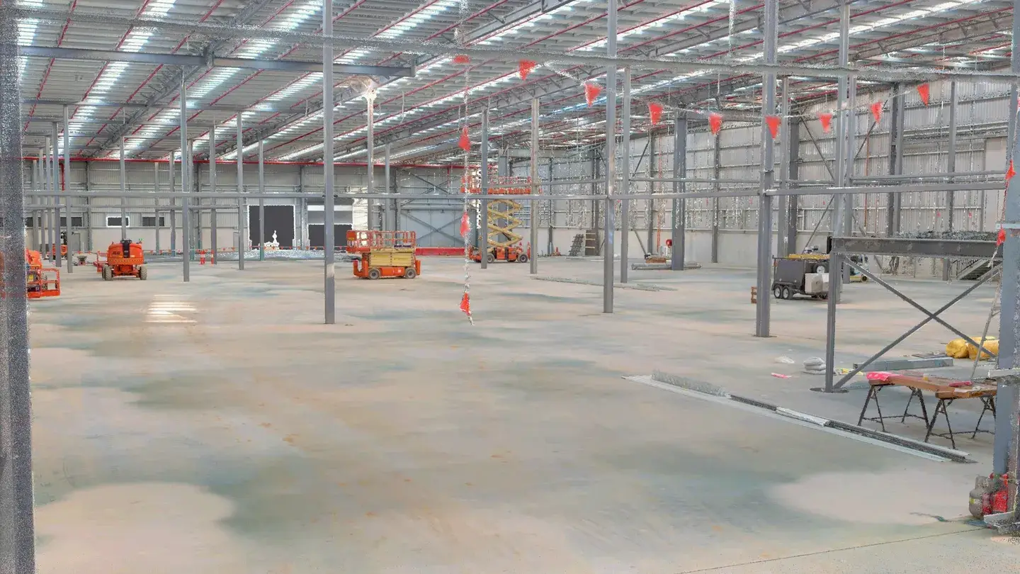
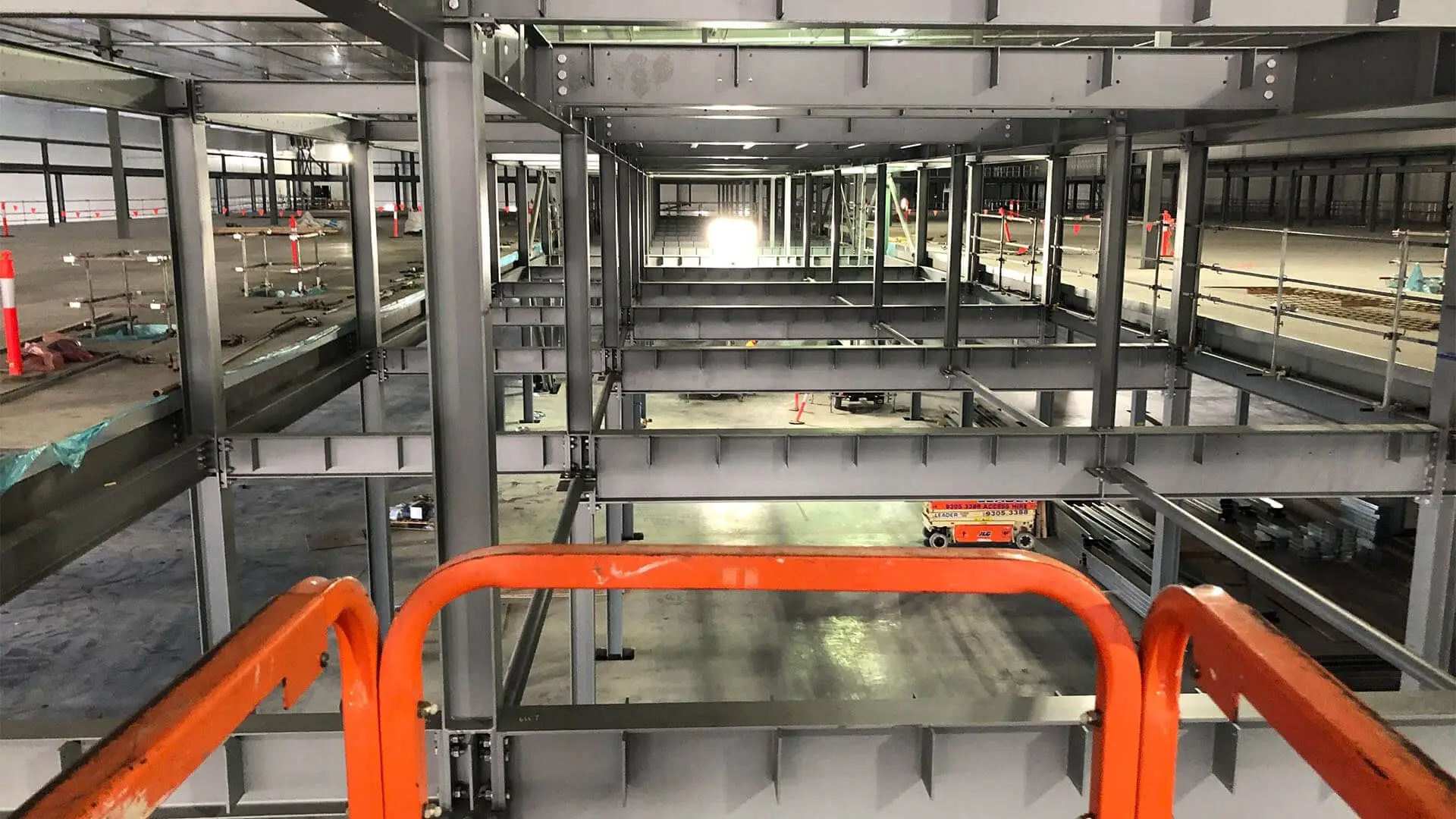
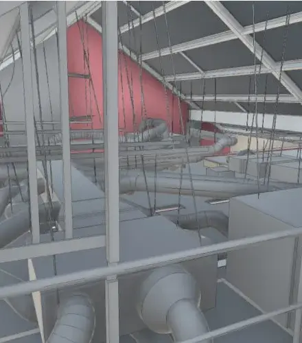
Our dynamic, wearable 3D laser scanner enables highly detailed reality capture on any construction site. We provide virtual walkthrough data for construction managers to monitor site progress, identify areas for rectification and confirm that internal construction matches the latest design file.
See how Mobile Laser Scanning Keeps Construction Projects on Track
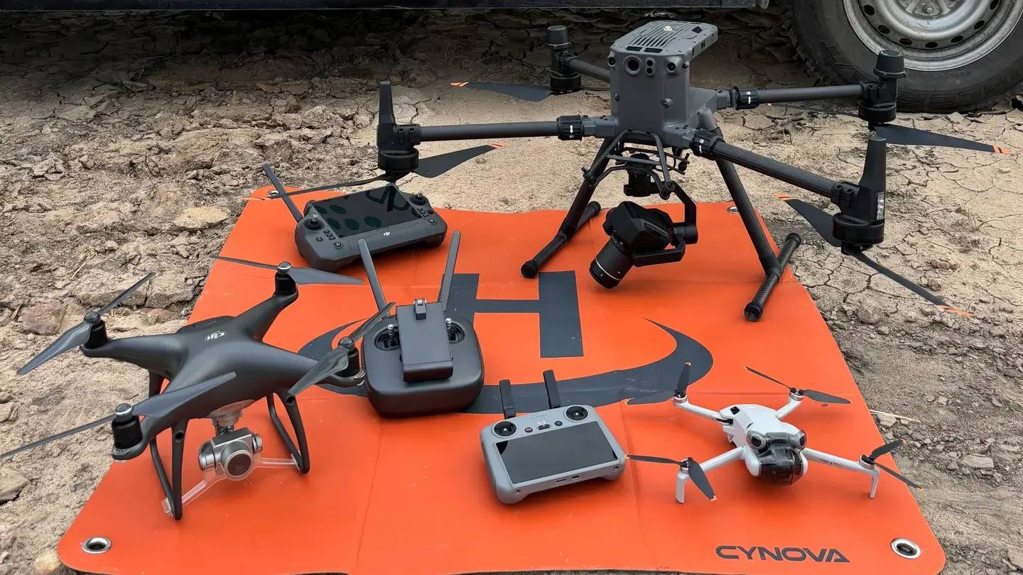
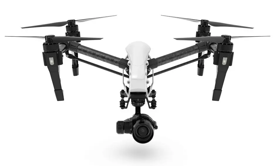
6+ multi-rotor RPAs (drones) for rapid deployment
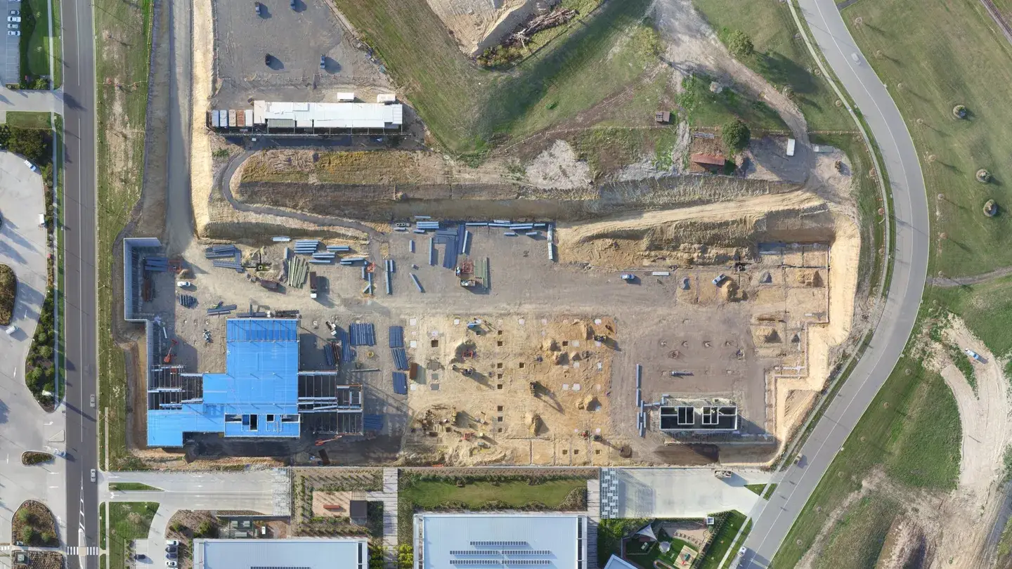
Our CASA-certified and fully insured drone pilots capture accurate, high-resolution, low-altitude images for use in early-stage progress tracking and bulk earthworks calculations. Whole site ortho imagery also provides confirmation that as-built footings, pads and structure extents align with designed site layout.
How we capture data at your construction site
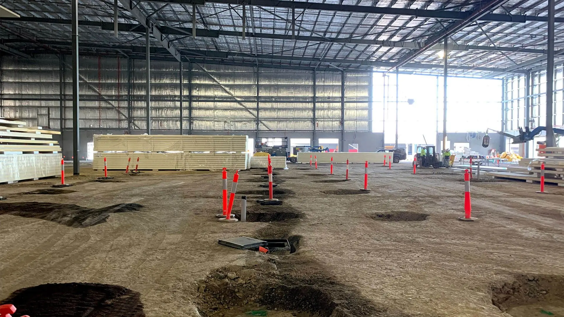
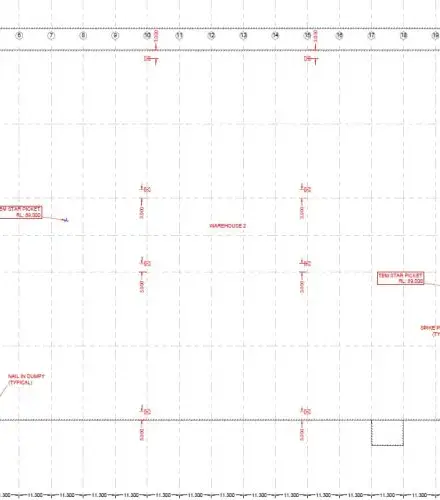
Setout surveys
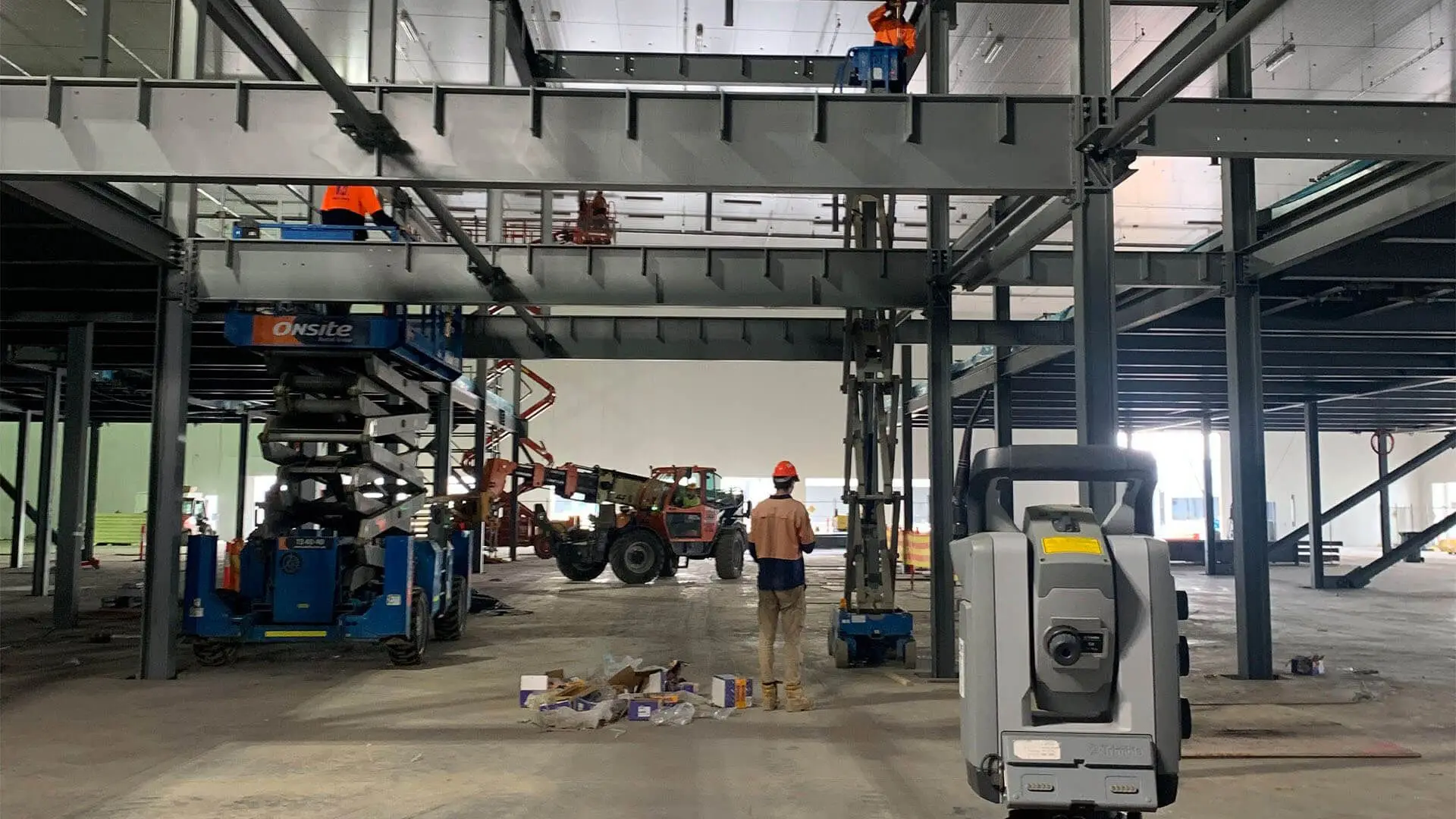
Position buildings and infrastructure accurately with expert engineering surveying that aligns with design plans.
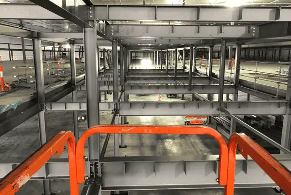
Verify that completed construction aligns with original designs.
Control and monitoring surveys
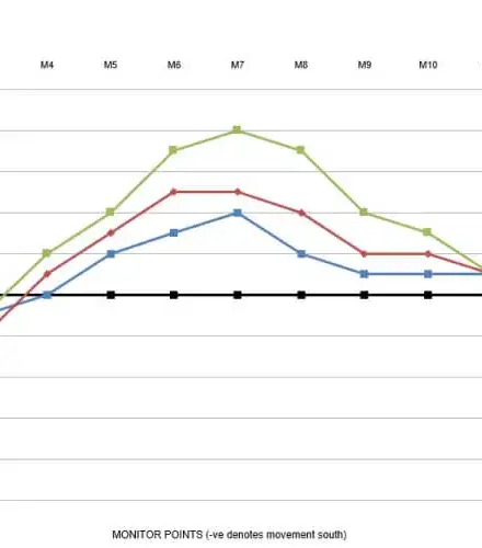
Set up Benchmarks for reference points and monitor site movement over time to support construction quality assurance.
Drone Surveys: process & output
By capturing high-resolution aerial data and delivering it in the form of detailed maps and 3D models, drone surveys support faster decisions, safer site access, and more informed project outcomes.
Your quality engineering surveying outcomes
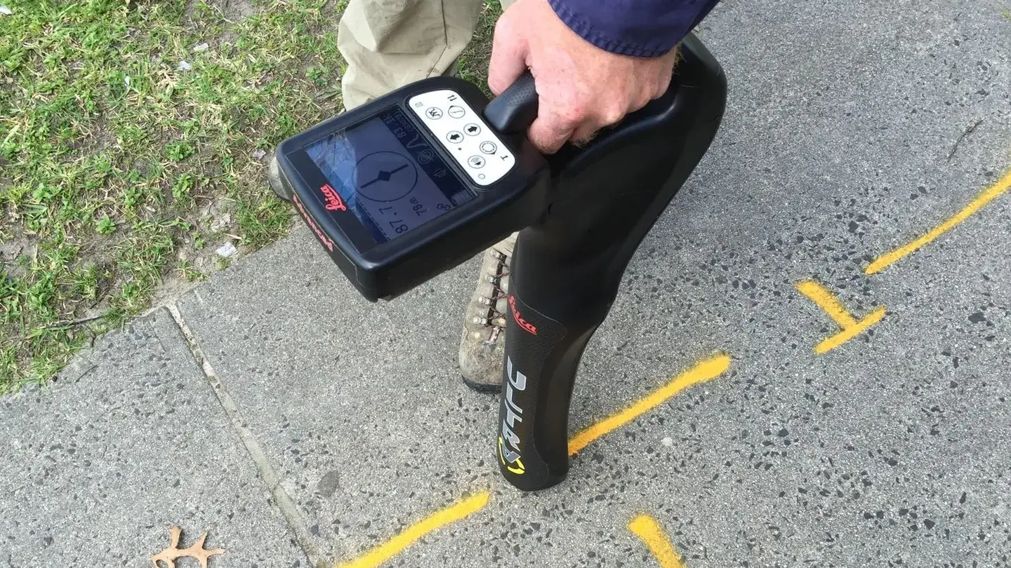
On-site survey marks
Establish precise survey marks throughout your project, which are critical to guide construction at each phase.
Detailed survey plans
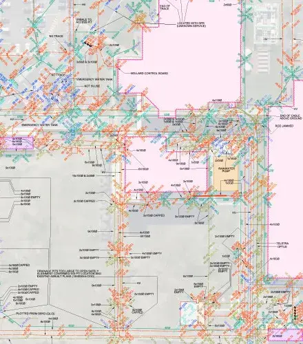
Generate clear documentation for site boundaries, layout and utilities in PDF and DWG format, for consistency across project stages.
Digital data outputs
Share DWG files and point clouds, enabling integration into project design software for enhanced planning and verification.
Accessible follow-up expertise
Provide further explanations of survey results to help clients understand key insights and act on them effectively.
Why choose Landair for construction surveying.
Your challenges
Missing data that your on-site teams can rely on to keep construction going smoothly?
Looking for a responsive partner who can solve any surprise problems?
Need a surveyor who can deliver what’s required, even under pressure?
How we can help
Trusted by construction managers for dependable engineering surveying.
Our setout plans are essential for quality assurance and reduce the likelihood of errors.
We understand the need for next-day turnarounds to keep construction moving.
Our team is on-call and ready to respond when you need us most.
We know that construction mistakes can be incredibly costly.
Our experienced surveyors are often commissioned to fix problems on existing projects!
Hear from our construction and engineering partners.
“Landair has been an incredible partner for our business. We needed a customer solution for a project with a tight timeline, and they delivered exactly what we needed”
Armin Ghamami
Director 4Site
Meet our experts in surveying for Construction and Engineering.
For complex Construction and Engineering projects, clients choose Landair because of our commitment to high-precision surveys, fast issue resolution and consistent quality.
SENIOR SURVEYOR
Marcus Samuelsson
Marcus a senior surveyor has been a part of our team for over 10 years and is Landair’s team leader for construction and bathymetric surveying. He also has extensive monitoring experience and is one of Landair’s RPA (drone) pilots. His vast experience in managing survey teams at the project level allows him to take an active role in developing the skills of junior surveyors.
SENIOR SURVEYOR
David Wilson
David is a well-seasoned senior surveyor and is the team leader for Landair’s 3D laser scanning projects. He has significant experience in major infrastructure and construction project management and enjoys mentoring junior surveyors keen on expanding their laser scanning and construction surveying skills.
PROJECT SURVEYOR
Matt Dobson
Matt has diverse experience across surveying with his key surveying projects including infrastructure, engineering and monitoring surveys. He is specialising in cadastral surveying and is currently under a Professional Training Agreement to become a Licensed Surveyor.