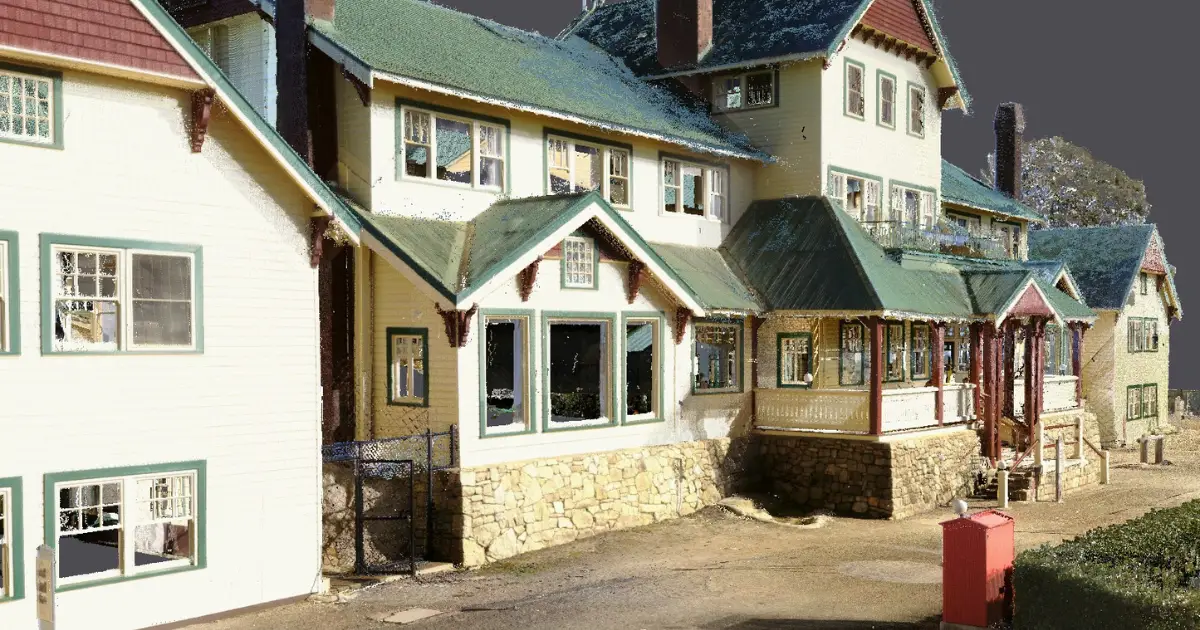
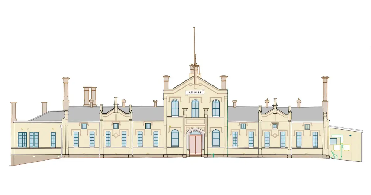
Landair Surveys partnered with Conservation Studio and Parks Victoria to conduct a 3D infrastructure survey of the historic Fort Nepean military complex on the Mornington Peninsula. Known for its role in firing the first Allied shot of World War I, Fort Nepean holds significant military and cultural value and attracts many visitors each year.
Over three weeks, Landair’s team captured over 600 laser scans of the site, including five gunneries, observation posts, engine rooms and an intricate multi-level tunnel network. Innovative techniques, such as plumbline baselines and a tight control network across coastal scrub, ensured precise spatial alignment of the scans. The result was 300GB of detailed and colorised point cloud data that gives an unprecedented 3D representation of the buildings and tunnels for heritage preservation and analysis.