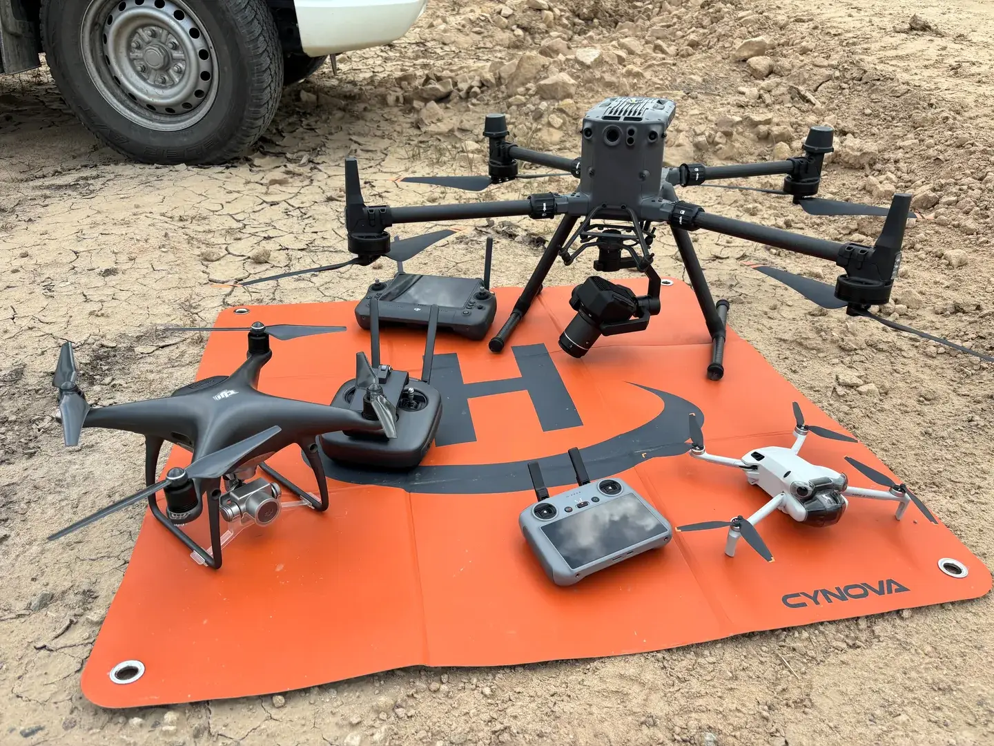
With over 30 years of aerial mapping experience, Landair Surveys brings an accuracy-first approach to every drone land surveying project. Using multi-rotor RPAs, we capture high-quality data across construction sites, property developments, and remote terrain in Melbourne, Sydney, and regional areas.
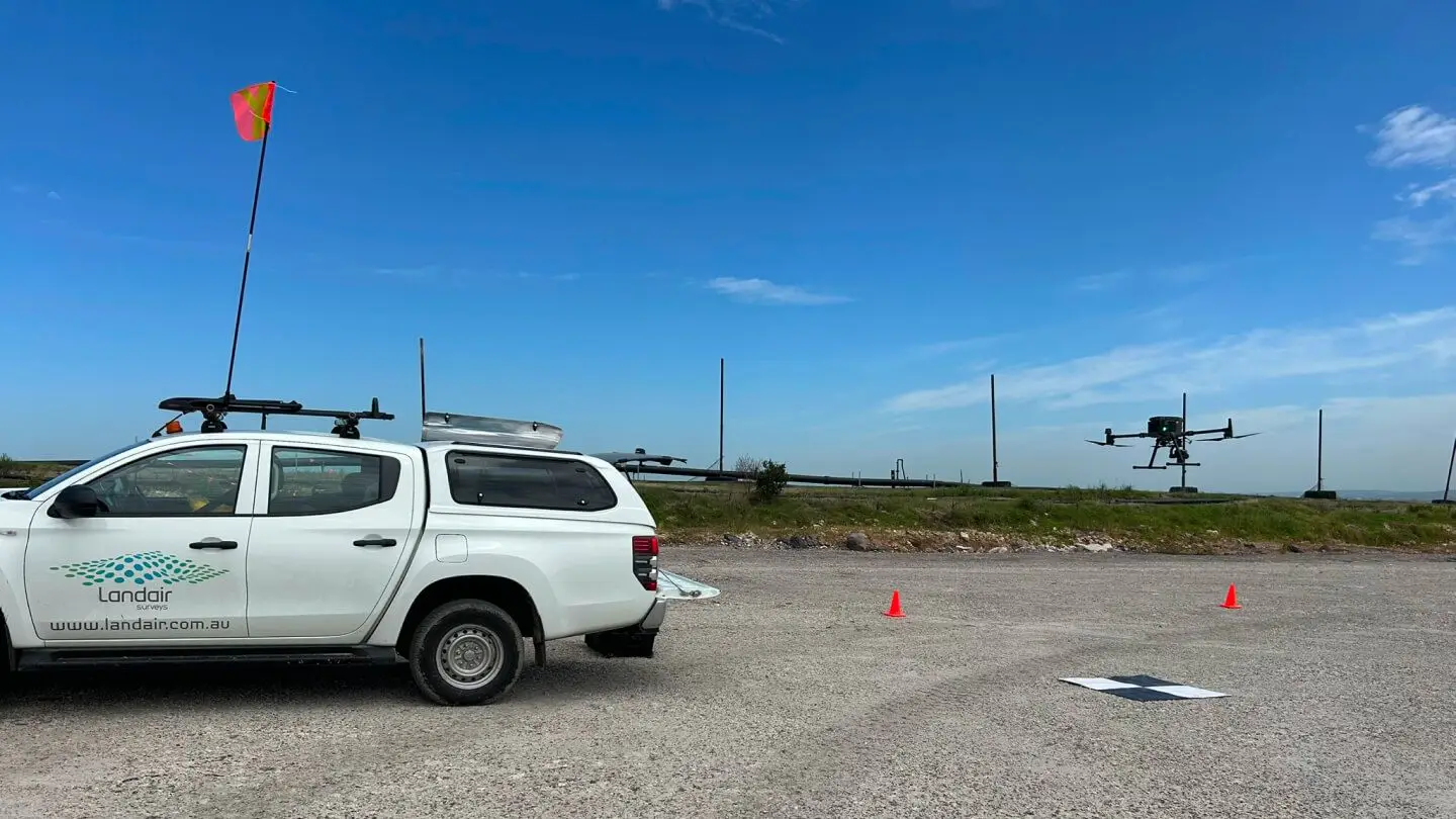
Every flight is completed by our CASA-certified, fully insured pilots, with strict safety protocols and quality checks built into every project.
Drone construction surveys and drone property survey methods deliver high-accuracy data faster, safer and often at a lower cost than traditional land surveying. Choose drone (RPA) surveying for:
While drone surveys excel at detailed, localised mapping, crewed aerial surveys may be more efficient for:
Very large regional areas, like in state-wide mapping and floodplain modelling
Higher-altitude surveys with wide-angle capture across thousands of sq. km.
Drone land surveying is fast, flexible and ideal for capturing topographic data and surface models. We support industries that rely on survey mapping and real-time updates, especially in Melbourne and Sydney.
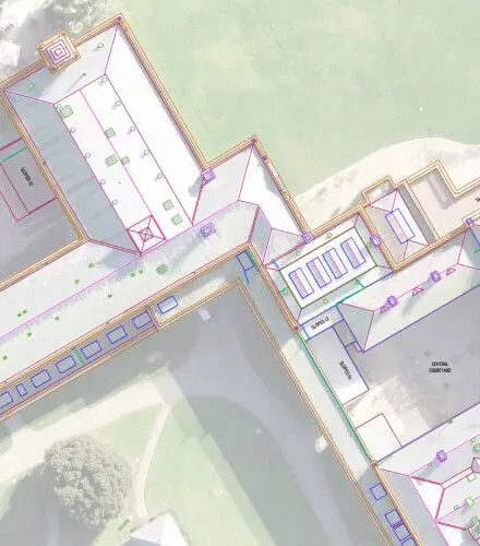
✔ Rooftop and façade mapping
✔ Photogrammetric point clouds for floor plan design
→ Captures architectural detail that’s difficult or unsafe to access via ground surveys
✔ Pre-, progress and post-build flyovers for drone construction surveys
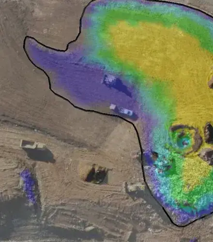
✔ Earthworks tracking and volumetric surface change detection
✔ Site-wide, high-resolution imagery from drone property survey
✔ Overlay boundaries, titles and planning data
✔ Face mapping, pit conditions, and cut/fill calculations
✔ Accurate volumes for stockpile management
✔ Scheduled thermal flyovers for hotspot detection
✔ Volumetric calculations and surface change tracking
Whether we capture the data or process your drone footage, we turn raw RPA imagery into accurate, usable survey outputs. Our team supports developers, engineers, and construction firms throughout Melbourne and Sydney.
Our deliverables support drone construction surveys, aerial land survey drone work, and complex survey mapping requirements.
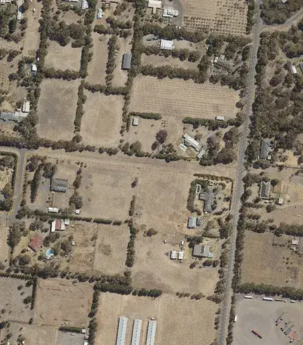
Orthorectified aerial imagery suitable for overlays, title plotting, and infrastructure planning. Enables measurement of distances and angles with precision.
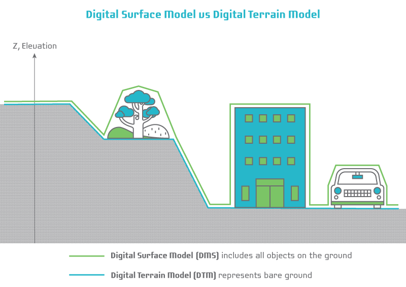
Models that show the top of everything: trees, buildings, equipment and vegetation. Useful for visualisation, but not suitable for design or volume calculations.
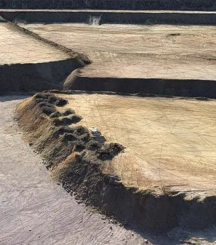
Bare-earth terrain models ideal for accurate topographic data, engineering design, and drone land surveying outputs. Includes optional thinning for easier integration into design software.
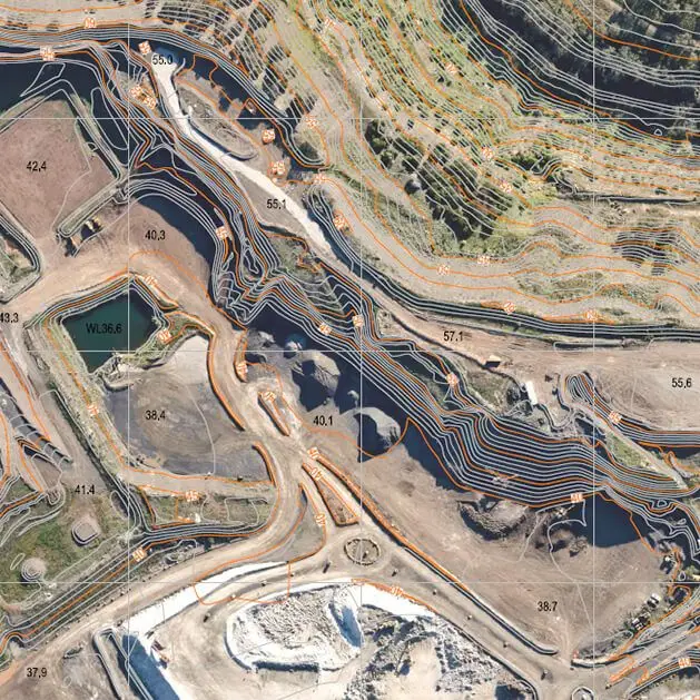
Critical topographic detail extracted from the DTM, such as tops and toes of batters, benches, tracks, roads, drainage lines and fences, delivered as strings and lines.
Cut/fill and stockpile volumes captured with sub-decimetre precision, essential for construction site mapping and resource planning.
Colourised point clouds, textured meshes and thermal heatmaps that enable visualisation, measurement and risk detection. Ideal for infrastructure, landfill, and high-risk sites.
Landair Surveys provides regular drone flyovers at Lucas Heights Landfill to monitor waste movement and airspace consumption.
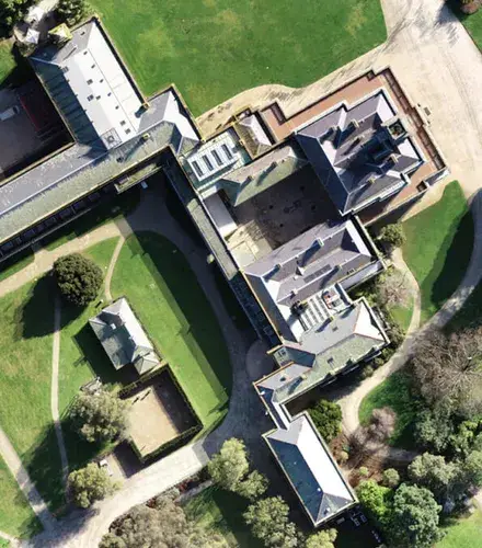
Landair Surveys was chosen by heritage architects Lovell Chen to document the external conditions of the historic Werribee Park Mansion.
Landair Surveys conducted 3D photogrammetric mapping across 12 quarries across Victoria for the Barro Group
Yes. Every flight is completed by our CASA-certified, fully insured pilots, using multi-rotor RPAs, with strict safety protocols and quality checks built into every project.
Drone surveying delivers centimetre-level accuracy across large or hard-to-access sites, with cut, fill and stockpile volumes captured to sub-decimetre precision.
Yes. Alongside our own flights, we process drone imagery collected by clients through our drone data processing service, turning raw RPA footage into orthoimagery, surface and terrain models, feature extraction and accurate volume calculations. Clients can upload their data to our secure site.

We capture and process drone data across construction sites, property developments and remote terrain in Melbourne, Sydney and regional areas, backed by over 30 years of aerial mapping experience.