
Australia’s cities are evolving rapidly, driven by population growth, climate pressures, infrastructure demands and the rise of smart city technologies. For planners, engineers, developers and government agencies, the need for reliable, high‑accuracy spatial information has never been more urgent. This is where precision data surveying plays a pivotal role, powering sustainable growth, improving urban liveability and strengthening Australia’s long‑term infrastructure resilience.
To build cities that work smarter, not harder, we must design them on a foundation of accurate, actionable and future‑ready spatial data. Modern surveying technologies now serve as the backbone of sustainable urban development, enabling strategic decision‑making for everything from major transport upgrades to green precincts, utilities, digital twins and long‑term community planning.
Smart, sustainable cities rely on more than good design, they require property and land data accuracy that supports every stage of planning, design, engineering and construction. Without a dependable spatial foundation, decisions become guesswork.
High‑accuracy spatial intelligence supports:
Whether developing a new precinct or revitalising an old one, precision data surveying provides the clarity needed for confident and responsible urban decision‑making.
The shift toward smart city infrastructure in Australia is accelerating. From sensor‑connected assets to autonomous vehicles, spatially accurate and continuously updated data underpins every smart system.
Digital twins rely on detailed, real‑world measurement. Advanced laser scanning, orthophotography, aerial capture and GIS and mapping services feed the models that help councils and infrastructure providers visualise cities in real time.
Spatial data informs:
Accurate geospatial datasets reduce design risk and improve integrated mobility outcomes.
From underground services to above‑ground assets, digital mapping for planning ensures fewer clashes, more accurate excavation planning and reduced project delays.
Through environmental surveying, teams can identify risks such as:
This informs policies for greener, more resilient cities.
Cities succeed when they are built with the long view in mind. Sustainable urban development requires spatial datasets that help governments and developers understand land capability and environmental constraints before design begins.
Precision data supports:
Accurate spatial data analysis in Australia ensures engineering and planning teams work with a complete understanding of the site and its future complexities.
Every major infrastructure project begins with the same question: What is the true condition of the site?
Using the latest surveying technology, from drones to laser scanning, Landair delivers infrastructure design solutions that give engineers complete confidence in the data they build from.
These solutions enable:
High‑accuracy data leads to better project outcomes, reduced construction conflicts and improved lifecycle performance.
Data‑driven urban development goes beyond capturing a moment in time. It integrates ongoing monitoring, modelling and strategic insight.
With continuous data capture, councils and infrastructure providers can:
As a long‑established surveying and geospatial partner, Landair delivers geospatial data solutions that support governments, engineers, and developers working toward smarter cities and sustainable precincts.
Our value lies not only in the technology we use, but in the accuracy, rigour and consistency of our processes. Every dataset is carefully captured, verified and refined, helping project teams avoid rework, delays and unnecessary cost.
This combination of technology and expertise ensures the cities we help shape are built on a reliable, future‑proof foundation:
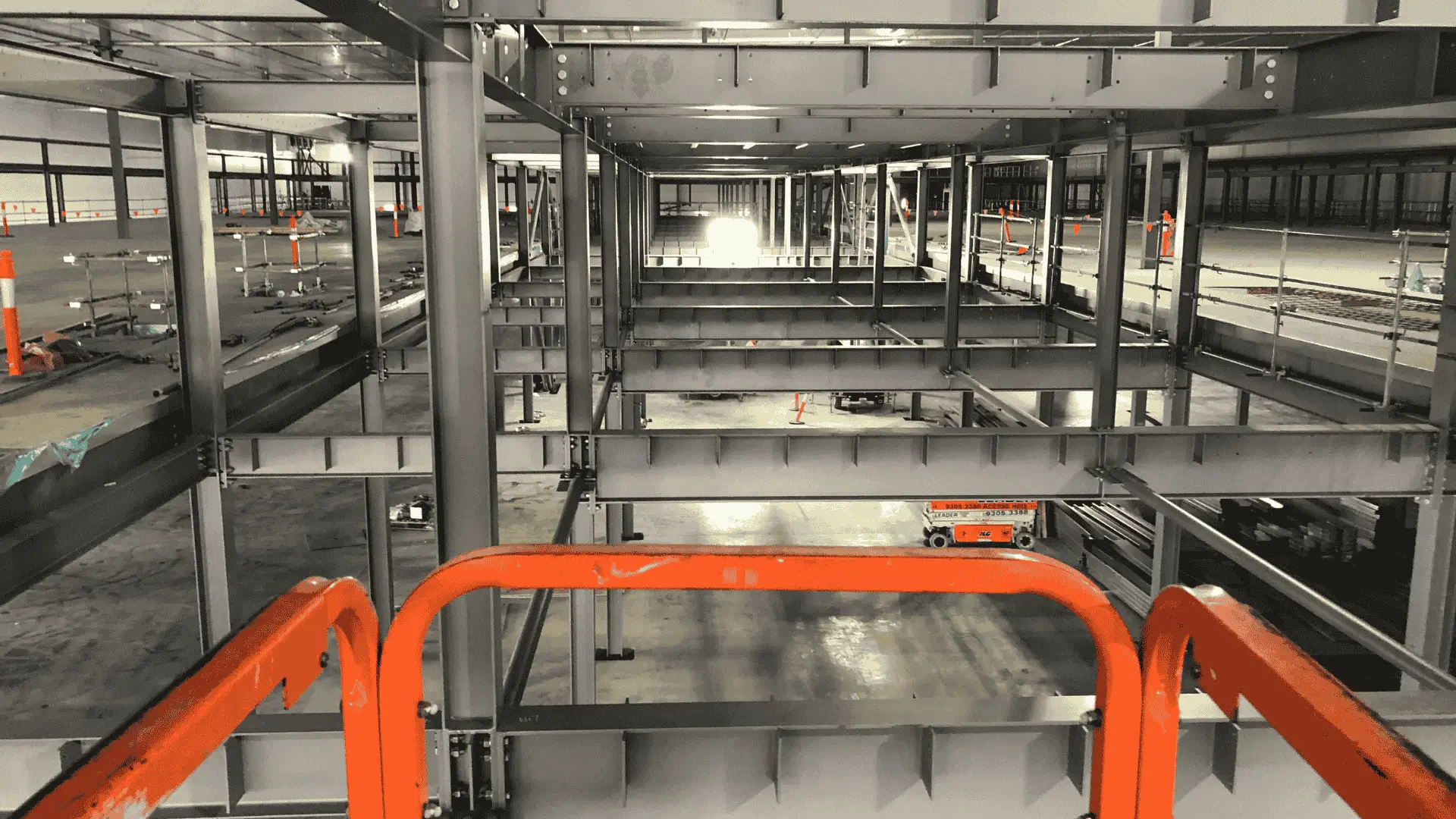
A strong example of precision‑led development is the Coles Customer Fulfilment Centre project, where advanced digital capture supported planning, design and delivery. The project required highly accurate spatial information to coordinate structural layouts, services, vehicle movements, loading systems and operational efficiency.
Landair’s precise mapping, 3D modelling and spatial analysis supported the development of a large‑scale facility designed for automation, sustainability and modern logistics, demonstrating how geospatial accuracy directly shapes smarter, more efficient infrastructure.
As urban environments continue to grow and adapt, precision data will be one of the most critical tools shaping their evolution. Whether supporting sustainable precincts, transit‑oriented developments, green infrastructure, digital twins or resilient city planning, precision data surveying ensures every decision is grounded in accuracy.
Smart, sustainable cities start with precise information. And that information starts with Landair.
For tailored surveying support on your next sustainable or smart‑city project, contact the Landair team today.