From intricate laser scans in the CBD to landfill monitoring and arterial upgrades in Victoria’s growth corridors, Landair Surveys is the spatial partner that government, property, construction and environmental teams trust to get the job done right.
Headquartered in Ringwood and operating across Victoria since 1974, we’ve built experience across diverse environments, from tight heritage laneways to open industrial estates and regional infrastructure corridors.
Every project benefits from our responsive team, local knowledge and clear, client-ready outputs. We deliver the precision data that powers your next step.
We offer land and aerial surveying methods that support planning, design and asset management across Victoria’s project landscape, including:
Landair’s licensed surveyors deliver dependable results, backed by robust quality control systems and formatted to suit your workflow.
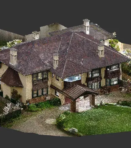
Many architectural surveying projects in Melbourne involve complex façades, detailed interiors or heritage overlays.
Our team has supported planning and restoration works across Melbourne City, Brighton and Werribee, capturing data that supports confident design, accurate documentation and well-informed stakeholder review.
For consultants managing multi-tenanted assets or preparing sites for acquisition, survey data plays a critical role in due diligence and leasing.
Consultants rely on accurate boundary surveys, rooftop inspections and lease area plans, delivered clearly and on time, to support high-stakes decisions and fast-moving transactions.
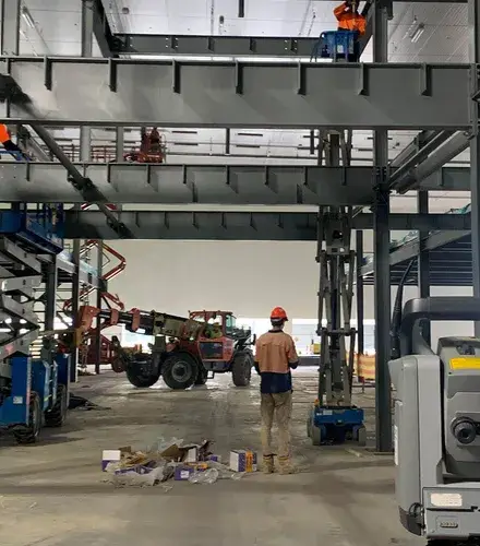
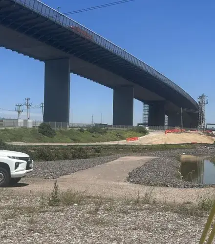
Across active construction sites in Truganina and on projects like EastLink, survey inputs must align precisely with evolving designs.
Our team supports construction workflows with dependable setout, QA checks and progress scans, all helping minimise rework, reduce downtime and maintain confidence through each phase of delivery.
Councils and agencies across Greater Melbourne use spatial data to manage roads, parks, waterways and community assets.
From Kalorama to Belgrave and Cann River to Mildura, we’ve performed title re-establishment, path and drainage mapping, and data capture to support upgrades, grant funding and capital works planning.

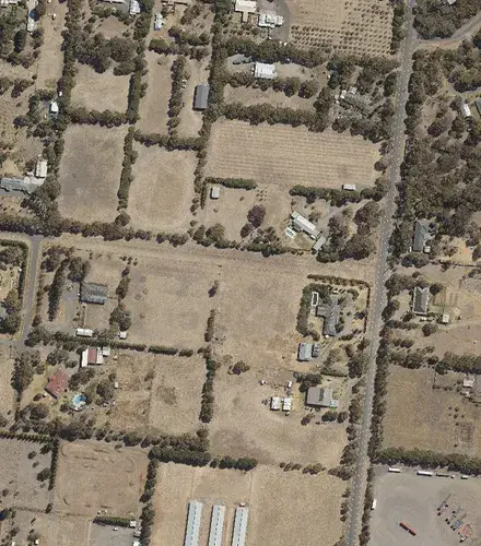
From bushfire monitoring to vegetation targets, geospatial imagery supports decision-making across Victoria.
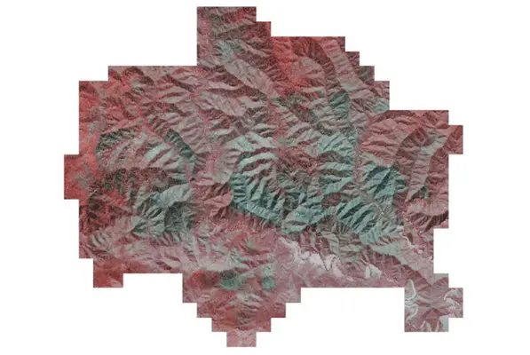
We regularly capture high-resolution and four-band imagery for planned burns, canopy assessments and asset tracking, delivering outputs that meet tight seasonal windows, technical standards and whole-of-government requirements.
Landfill sites in Melbourne’s outer suburbs and rural areas rely on ongoing survey support.
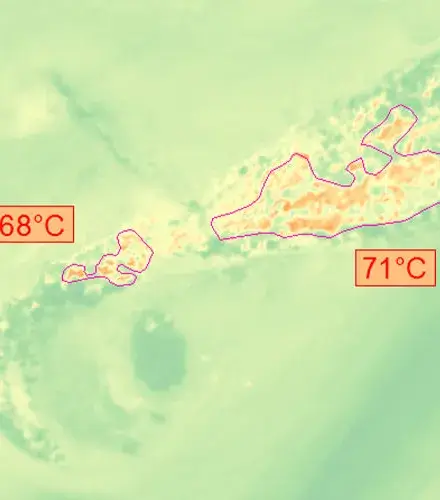
Our team provides monthly volume reporting, drone-based heat mapping and existing conditions surface models, used by operators to manage capacity, assess infrastructure and comply with EPA conditions while keeping operations moving safely and efficiently.
Every file is checked against strict benchmarks. You can act with certainty.
Our Victorian team is ready to deploy across metro and regional sites.
We’ve been delivering since 1974 and know your industry inside out.
Our reporting is concise, well-structured and easy to present to stakeholders.
Trusted by major property groups, government and engineering firms.
Tough conditions and last-minute scope changes? We’ve seen it all.
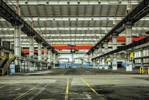
Landair Surveys worked with CDC Property Consultancy to conduct gross lettable area (GLA) surveys for an industrial portfolio of 30 assets across Vic, NSW, QLD and WA as part of due diligence for a potential multi-asset transaction.
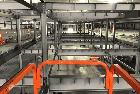
Landair delivered precision construction surveying for the 87,000 m2 Coles Customer Fulfilment Centre in Truganina with FDC.
Landair Surveys supported the Victorian Department of Environment, Land, Water and Planning (DELWP) by capturing high resolution aerial imagery of planned burn sites across the Gippsland and Barwon South West regions.
Need clear and accurate data to move your project forward?
Our licensed surveyors are ready to support you on site, in the air or behind the scenes.