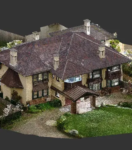
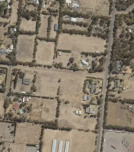
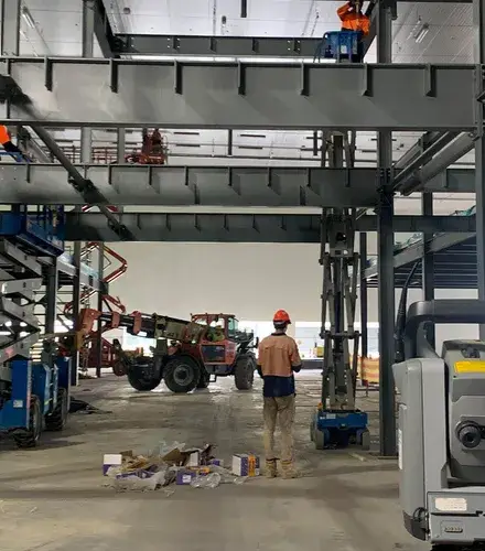
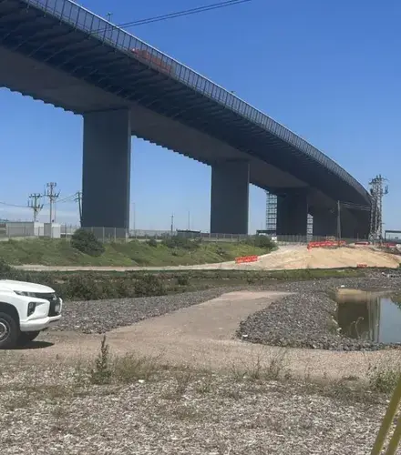
From heritage architecture in the Inner West to infrastructure upgrades across Greater Sydney, Landair Surveys is the surveying partner you can trust for reliable spatial data.
With a local team based in Jamisontown and over 50 years of experience across NSW, we deliver accurate terrestrial and aerial surveying that helps projects start strong, and finish right.
Whether you’re planning heritage restoration, managing a landfill operation or upgrading public infrastructure, we capture the data you need, when you need it.
Every project is supported by licensed and registered surveyors, rigorous QA processes and a commitment to clear and accurate reporting.
Our focus sectors in Sydney surveying
Architects and heritage
Designing with confidence starts with knowing what’s already there. For architects working on complex or historically sensitive buildings in Sydney, survey accuracy has a direct impact on design intent, planning approvals and cost control.
Detailed spatial data makes it easier to resolve site constraints early and avoid rework downstream.
Property consultants
Acquisitions, lease negotiations and pre-development decisions all depend on data that’s defensible and easy to communicate. Survey deliverables need to be clear, correct and timely, especially when multiple stakeholders are involved.
For property consultants in Sydney, you need data that stands up to scrutiny and enables informed decision-making.
Construction and engineering
Construction in Sydney needs to move fast, and mistakes in surveying can be costly. Setout data needs to be right the first time, especially when multiple trades are on site or schedules are tight.
Surveying that aligns with current design files and delivers consistent reference points helps minimise hold-ups and reduce the need for site-based guesswork.
Government infrastructure
Public infrastructure comes with competing demands: regulatory standards, funding timelines and community expectations. Survey data feeds into all of it, from title clarity and drainage levels to path alignment and vegetation impacts.
For government teams in Sydney and NSW, reliable base data supports smoother project delivery and better coordination across departments.
Government geospatial imagery
From vegetation cover assessments to by-law enforcement, spatial imagery helps governments in NSW understand change over time. But useful imagery depends on precise flight planning, the right sensors and fast turnaround.
When there’s only a short window to capture seasonal data or planned burn results, delays aren’t an option.
Landfill management
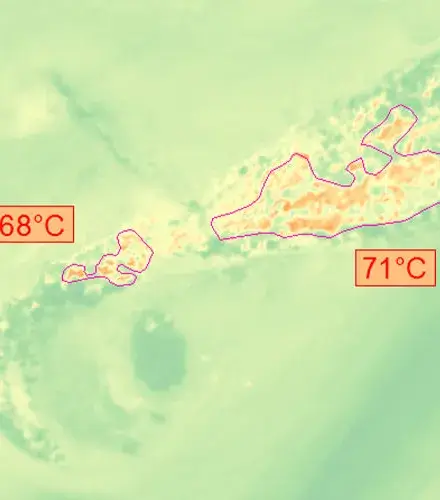
Managing landfill sites in Sydney and NSW is a long game, but the day-to-day pressures are real. Airspace tracking, thermal hotspot detection and infrastructure mapping all rely on data that’s current, compatible and easy to act on.
If you’re planning a new cell or reviewing compliance records, accurate survey inputs help landfill operators make better calls and avoid regulatory friction.
Why Sydney chooses Landair for surveying
Unmatched accuracy
We review against strict quality benchmarks. You can act with confidence.
Responsive when it matters
Our NSW-based team mobilises quickly, often within 24 hours.
Industry-specific insight
We understand the standards, constraints and workflows of your sector.
No confusion, no clutter
Reports are structured, clear and ready to share with clients or regulators.
Proven in Sydney and beyond
Trusted by consultants, councils and contractors across NSW.
Easy to work with
Straightforward communication and consistent follow-through.
Sydney and NSW surveying projects we’ve delivered
Industrial Portfolio
Landair Surveys worked with CDC Property Consultancy to conduct gross lettable area (GLA) surveys for an industrial portfolio of 30 assets across Vic, NSW, QLD and WA as part of due diligence for a potential multi-asset transaction.