Landair Surveys has supported Werribee Landfill operations for over 25 years, addressing complex challenges with innovative solutions. Key contributions include creating an archive of 25 whole-site aerial ortho-images spanning from 1997 to 2024, providing invaluable historical data for site management and decision-making.
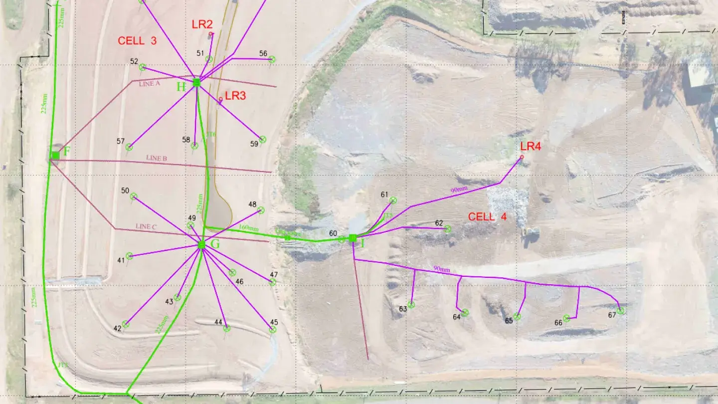
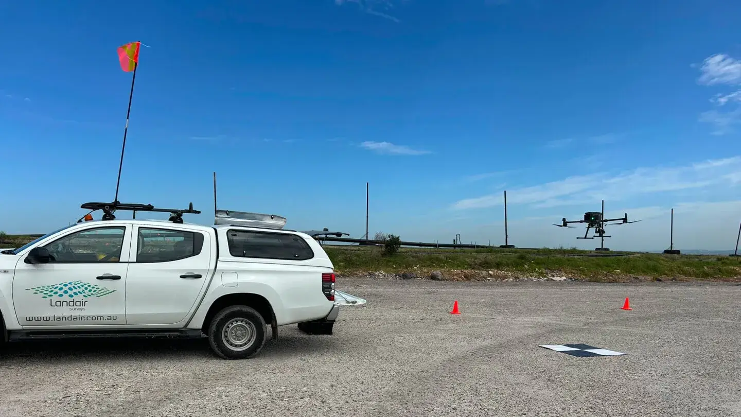
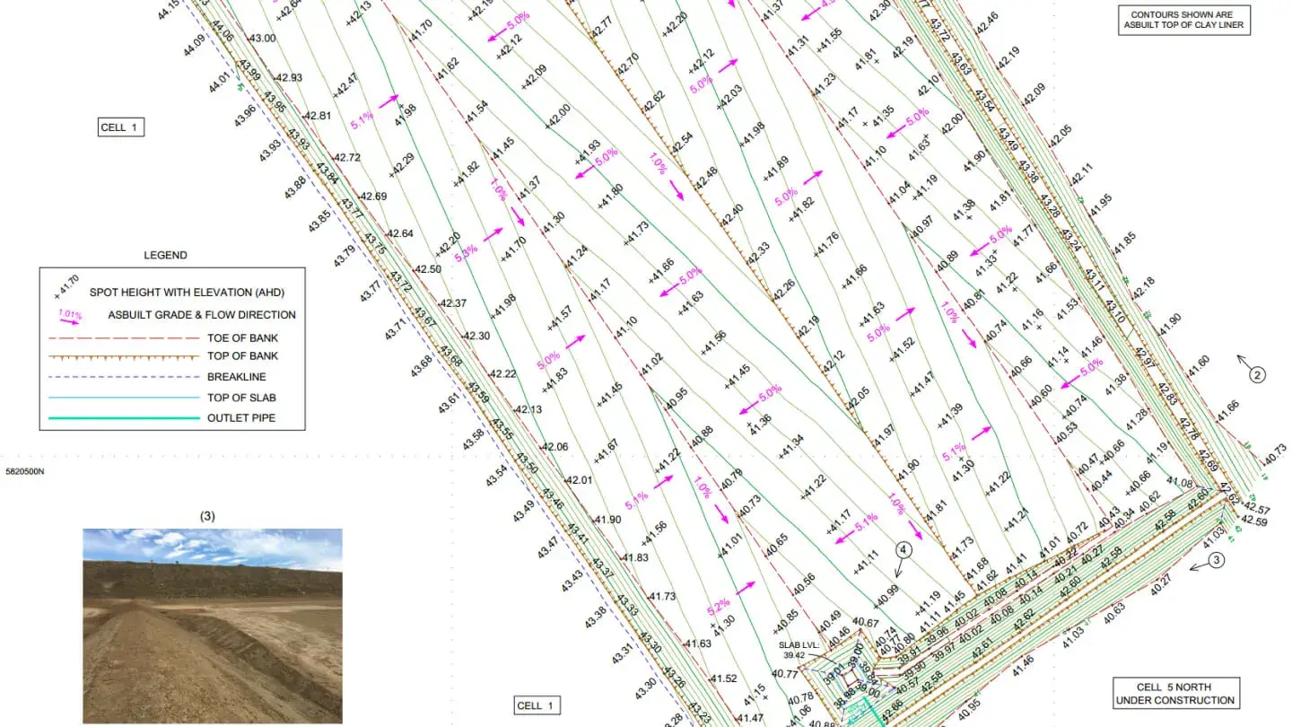
To support Cell 5 the largest landfill cell constructed in Victoria as of 2020, Landair conducted weekly drone flyovers to monitor material volumes and optimise stockpile management. Additionally, Landair integrated decades of disparate data sets into a unified composite base for methane gas well drilling, ensuring accurate depth pegging to protect cell floor liners. These solutions enhance operational efficiency, safety and environmental compliance.